Top

Randonnée hivernale vers les prairies de Frinwiesen à Karersee

Welschnofen
Add to favourites
Category
Difficulty
Easy
Activity time
1:10
Duration in hours
Distance
4
Distance in km
Suggested period
Jan
Feb
Mar
Apr
May
Jun
Jul
Aug
Sep
Oct
Nov
Dec
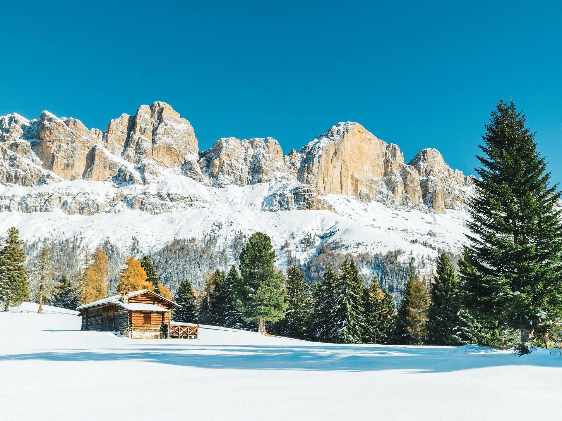
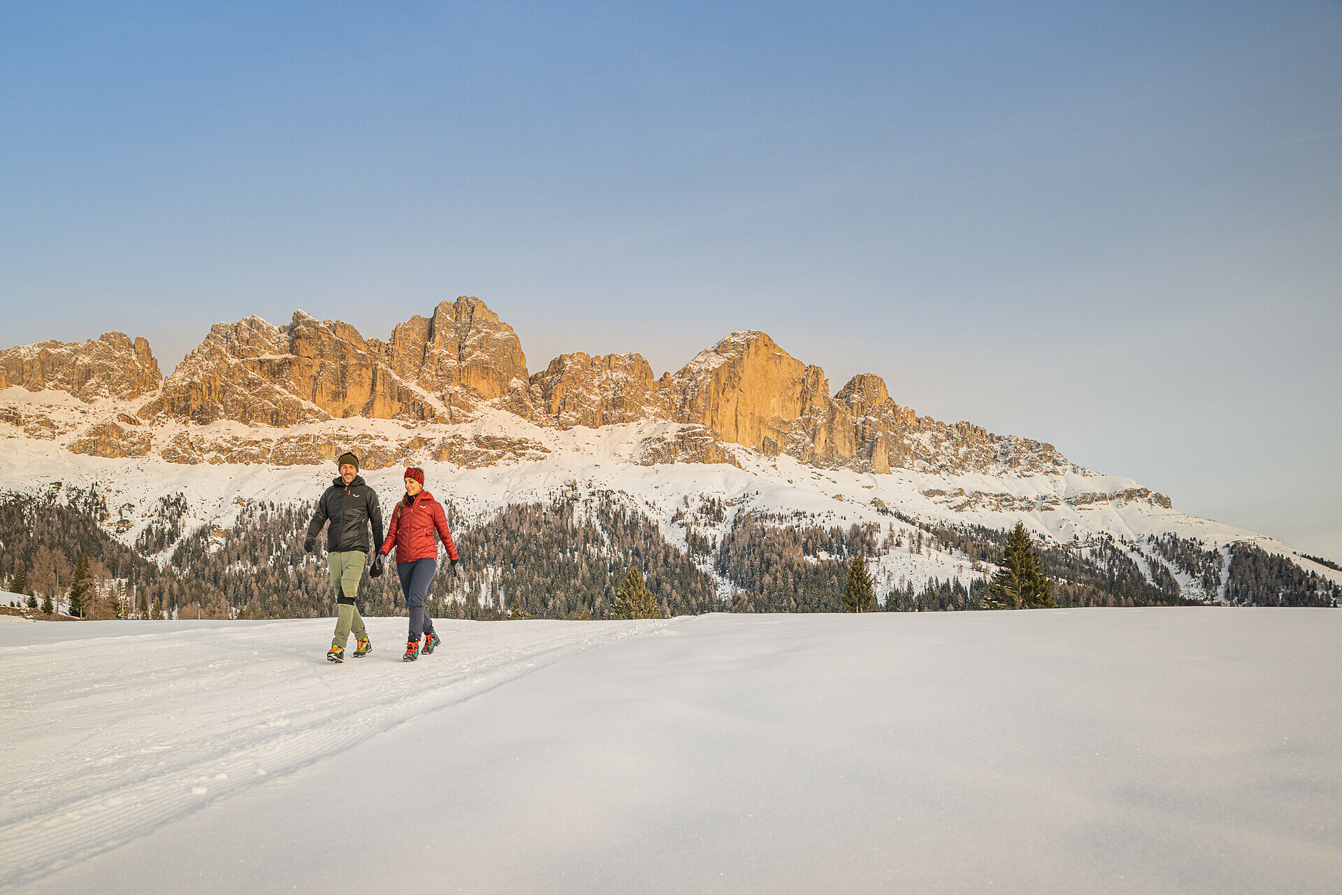
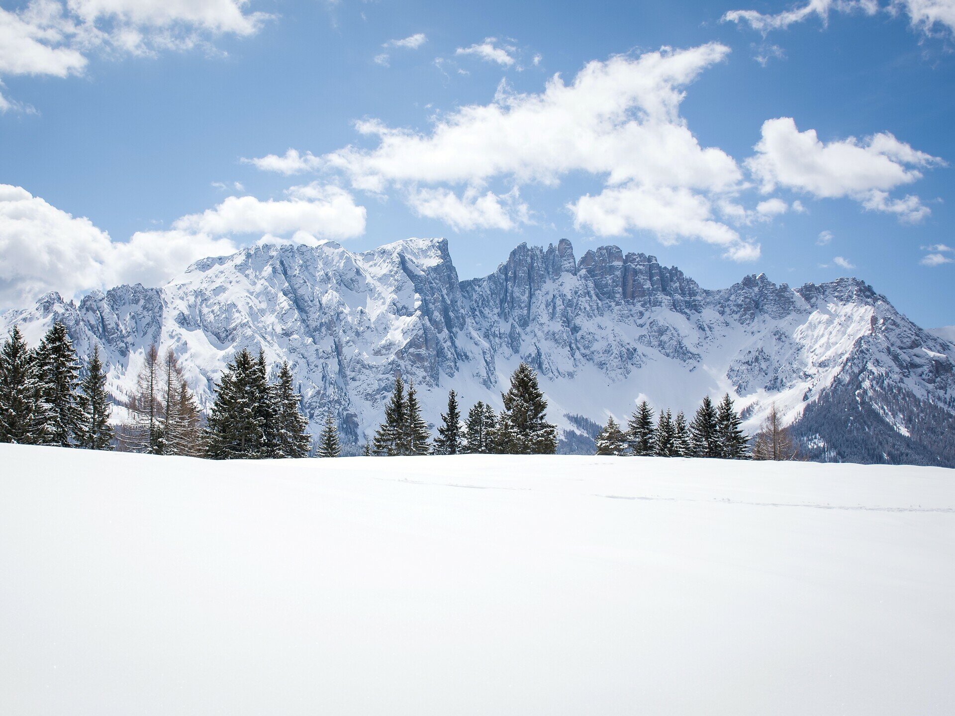
This winter hike to the Frin meadows takes you through peaceful snowy landscapes and past charming alpine huts, with impressive views of the Rosengarten | Catinaccio and Latemar.

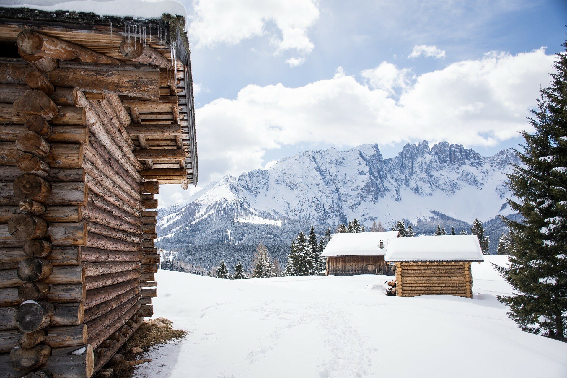
This winter hike leads to the idyllic Frin meadows of Karersee | Carezza, a hidden gem in the region. The Frin meadows, known for its expansive area and the tranquility of nature, offer a wonderful place to pause and enjoy the winter silence. On the way through the magical snowy landscape, you will come across some traditional private alpine huts, while an impressive backdrop of the wintery Rosengarten | Catinaccio and Latemar is waiting for you. The hike follows a well-prepared path and is suitable for both beginners and experienced hikers.

Tags
  • Out and back
Route info
Easy
Distance
4,0 km
Activity time
1 h 10 min
Ascent
141 m
Descent
141 m
Technical skills
Physical effort
Scenary
Highest point
1.709 m
Lowest point
1.568 m
You might be interested in
Discover related tours
Intermediate
Add to favourites
Steinegg, Welschnofen
Winter hike at Obergummer
Distance 11,9 km
Activity time 3 h 27 min
Ascent 391 m
Descent 391 m
Intermediate
Add to favourites
Deutschnofen
Randonnée circulaire hivernale Bühl
Distance 7,4 km
Activity time 1 h 55 min
Ascent 130 m
Descent 158 m
Intermediate
Add to favourites
Deutschnofen
Promenade d'hiver de Laab Alm à Neuhütt Alm
Distance 5,6 km
Activity time 1 h 35 min
Ascent 140 m
Descent 140 m
Welschnofen
Randonnée hivernale de la Frommer Alm à l'Ochsenhütte
Distance 4,2 km
Activity time 1 h 10 min
Ascent 104 m
Descent 104 m
Intermediate
Add to favourites
Welschnofen
Winter hike from Welschnofen | Nova Levante to the Schiller Hof hut
Distance 8,2 km
Activity time 2 h 34 min
Ascent 429 m
Descent 429 m
Deutschnofen, Welschnofen
Randonnée d'hiver du lac de Karer à Obereggen via le "Templweg"
Distance 7,1 km
Activity time 1 h 55 min
Ascent 77 m
Descent 90 m