Top

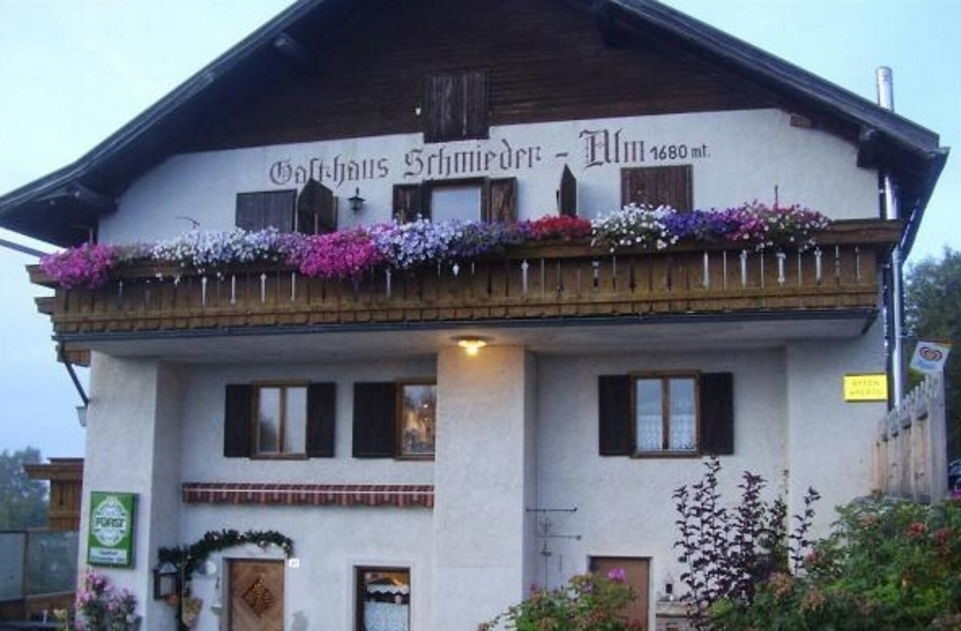
Randonnée vers les alpages de Schönrast – Schmieder – Lahner

Deutschnofen
Add to favourites
Difficulty
Difficult
Activity time
4:30
Duration in hours
Distance
15.5
Distance in km
Status
open
Categories
  • Hiking trail
Tags
  • Round trip
Suggested period
Jan
Feb
Mar
Apr
May
Jun
Jul
Aug
Sep
Oct
Nov
Dec
Hike from Petersberg to Schönrast, Schmieder and Lahner Alpine huts – a scenic tour through flower-filled meadows, perfect for nature lovers and families.

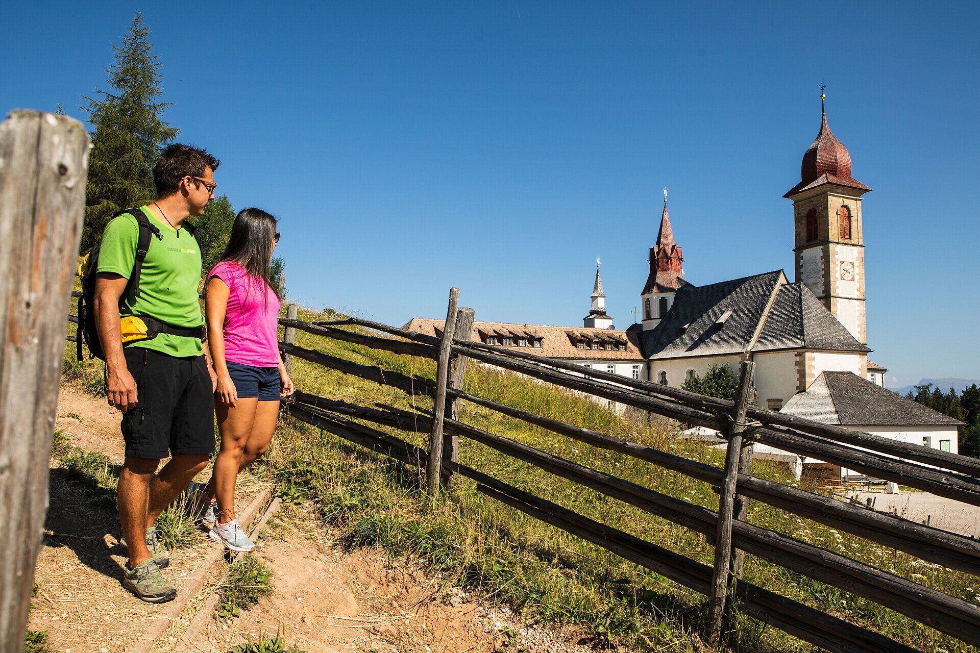
This scenic circular hike begins in the charming village of Petersberg and leads through gentle meadows, light forests, and to three traditional alpine huts: Schönrast, Schmieder, and Lahner. The route offers a perfect mix of natural beauty, panoramic views of the Dolomites, and welcoming huts serving local South Tyrolean cuisine. In summer, the alpine pastures are in full bloom, adding vibrant color to the landscape. This family-friendly, well-marked trail is ideal for nature lovers, leisure hikers, and anyone seeking peace and authenticity in the mountains.

Gallery
Categories
  • Hiking trail
Tags
  • Round trip
Route info
Difficult
Distance
15,5 km
Activity time
4 h 30 min
Ascent
499 m
Descent
499 m
Physical effort
Scenary
Highest point
1.729 m
Lowest point
1.380 m
You might be interested in
Discover related tours
Deutschnofen
Randonnée panoramique
Distance 10,3 km
Activity time 2 h 40 min
Ascent 137 m
Descent 133 m
Status
open
Intermediate
Add to favourites
Steinegg
Sur le Rittersteig, de Steinegg à Kardaun
Distance 7,8 km
Activity time 2 h 45 min
Ascent 192 m
Descent 729 m
Status
open
Obereggen, Deutschnofen
LATEMAR.PANORAMA : Randonnée en famille sur le sentier pédagogique
Distance 11,4 km
Activity time 3 h 50 min
Ascent 471 m
Descent 991 m
Status
open
Welschnofen
Long circuit autour du lac de Carezza
Distance 3,8 km
Activity time 1 h 04 min
Ascent 98 m
Descent 102 m
Status
open
Welschnofen
Randonnée autour des lacs Karer See et Mittersee
Distance 5,7 km
Activity time 1 h 35 min
Ascent 127 m
Descent 122 m
Status
open
Deutschnofen
Randonnée vers la petite église Sainte-Agathe
Distance 8,9 km
Activity time 2 h 25 min
Ascent 41 m
Descent 535 m
Status
open
© Gabriel Eisath
Neu
Der offizielle WhatsApp-Kanal von Eggental Tourismus!
Abonniere unseren Kanal

Verpasse keine Neuigkeiten mehr! Folge unserem neuen WhatsApp-Kanal und erhalte aktuelle News, Veranstaltungstipps und besondere Highlights aus dem Eggental direkt auf dein Handy.

Wir freuen uns auf dich!