Top

Randonnée vers les alpages Schönrast - Schmieder - Lahner

Deutschnofen
Add to favourites
Difficulty
Difficult
Activity time
4:28
Duration in hours
Distance
15.5
Distance in km
Status
open
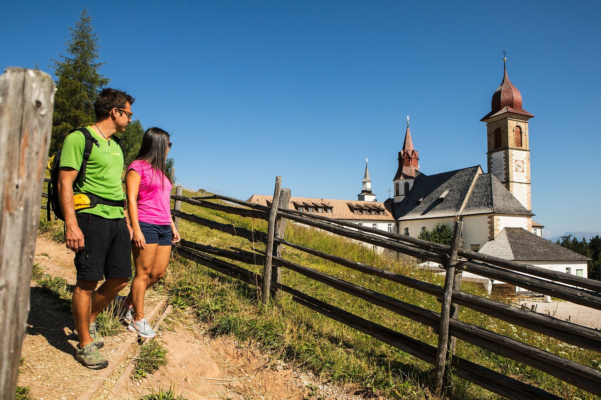
Hike from Petersberg to Schönrast, Schmieder and Lahner Alpine huts – a scenic tour through flower-filled meadows, perfect for nature lovers and families.

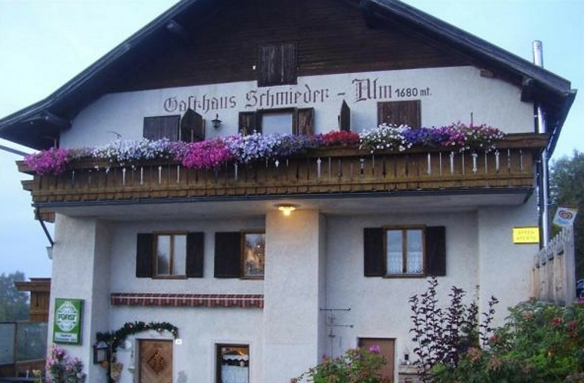
This scenic circular hike begins in the charming village of Petersberg and leads through gentle meadows, light forests, and to three traditional alpine huts: Schönrast, Schmieder, and Lahner. The route offers a perfect mix of natural beauty, panoramic views of the Dolomites, and welcoming huts serving local South Tyrolean cuisine. In summer, the alpine pastures are in full bloom, adding vibrant color to the landscape. This family-friendly, well-marked trail is ideal for nature lovers, leisure hikers, and anyone seeking peace and authenticity in the mountains.

Route info
Difficult
Distance
15,5 km
Activity time
4 h 28 min
Ascent
491 m
Descent
491 m
Physical effort
Scenary
Highest point
1.728 m
Lowest point
1.380 m
You might be interested in
Discover related tours
Welschnofen
Tour du Kaiserstein
Distance 16,8 km
Activity time 1 h 45 min
Ascent 113 m
Descent 256 m
Status
open
Deutschnofen
Randonnée en famille vers l'alpage de Laab et l'alpage de Neuhütt
Distance 13,6 km
Activity time 4 h 05 min
Ascent 461 m
Descent 461 m
Status
open
Intermediate
Add to favourites
Karersee, Welschnofen
Randonnée circulaire du parking Kaiserstein au monument Christomannos
Distance 9,7 km
Activity time 3 h 11 min
Ascent 616 m
Descent 616 m
Status
open
Welschnofen
Courte boucle autour du lac de Karer
Distance 1,3 km
Activity time 20 min
Ascent 21 m
Descent 28 m
Status
open
Intermediate
Add to favourites
Steinegg, Welschnofen
Boucle de randonnée à Taltbühl vers Totmoos et la fosse du loup
Distance 10,3 km
Activity time 2 h 58 min
Ascent 377 m
Descent 376 m
Status
open
Intermediate
Add to favourites
Karersee, Welschnofen
De Welschnofen au refuge d'alpage Messnerjoch
Distance 15,9 km
Activity time 4 h 55 min
Ascent 764 m
Descent 739 m
Status
open