Top

Sentier menant au site préhistorique d'Enzbirch

Deutschnofen
Add to favourites
Difficulty
Intermediate
Activity time
3:55
Duration in hours
Distance
13
Distance in km
Status
open
Categories
  • Hiking trail
Suggested period
Jan
Feb
Mar
Apr
May
Jun
Jul
Aug
Sep
Oct
Nov
Dec
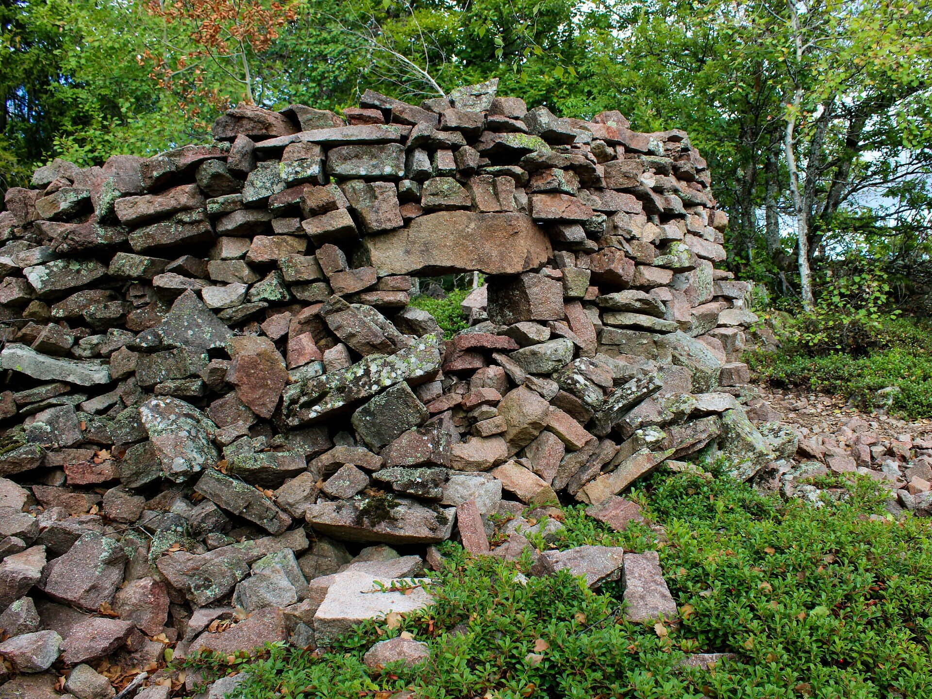
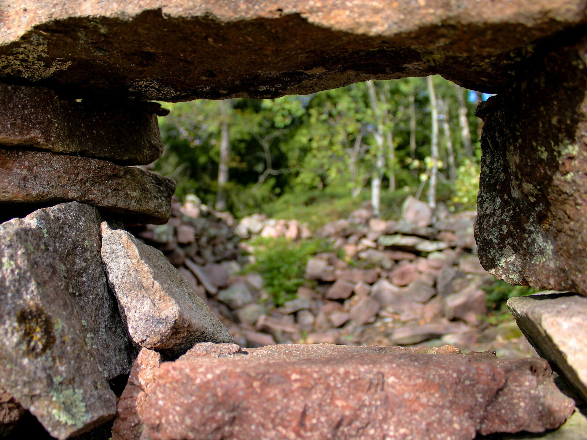
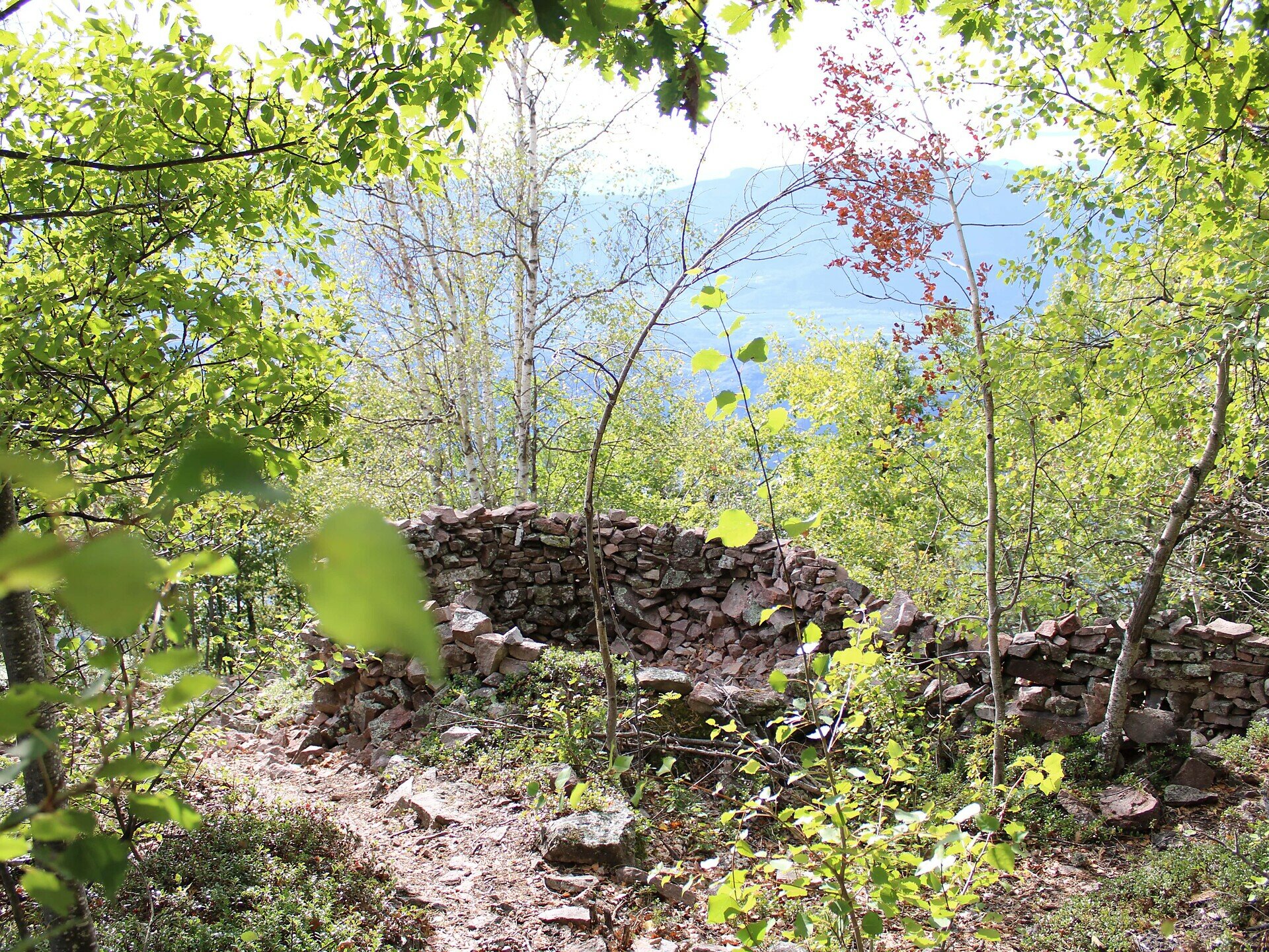
Explore the Enzbirch prehistoric site with stunning views and a cozy stop at Höggerhof – perfect for nature lovers and relaxed hikers.

This hike takes you on a fascinating journey back in time to a prehistoric settlement nestled in a picturesque mountain landscape. Starting from the village center, the trail gently winds through meadows and past traditional farmhouses that bring South Tyrolean rural life to life.
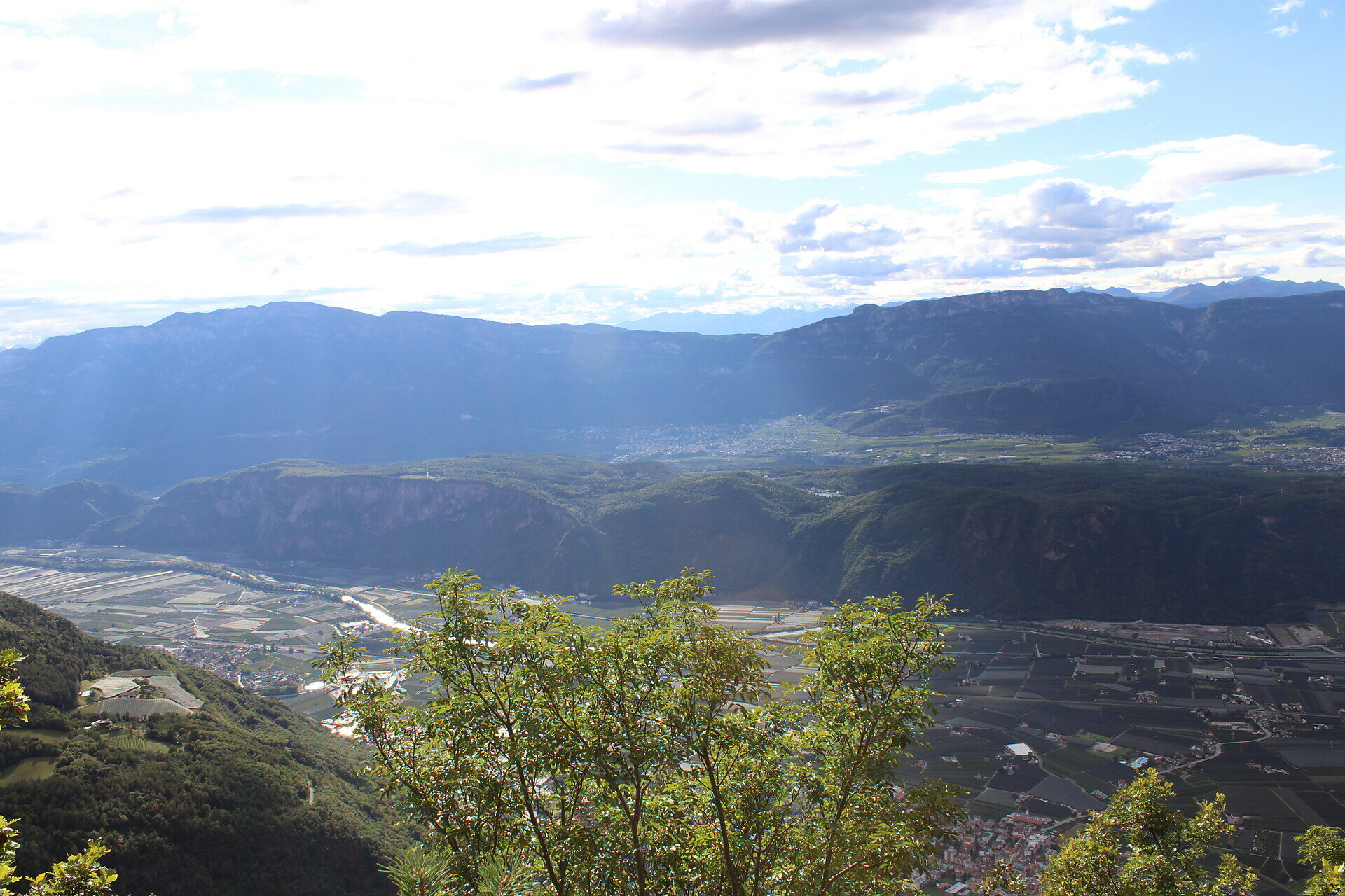
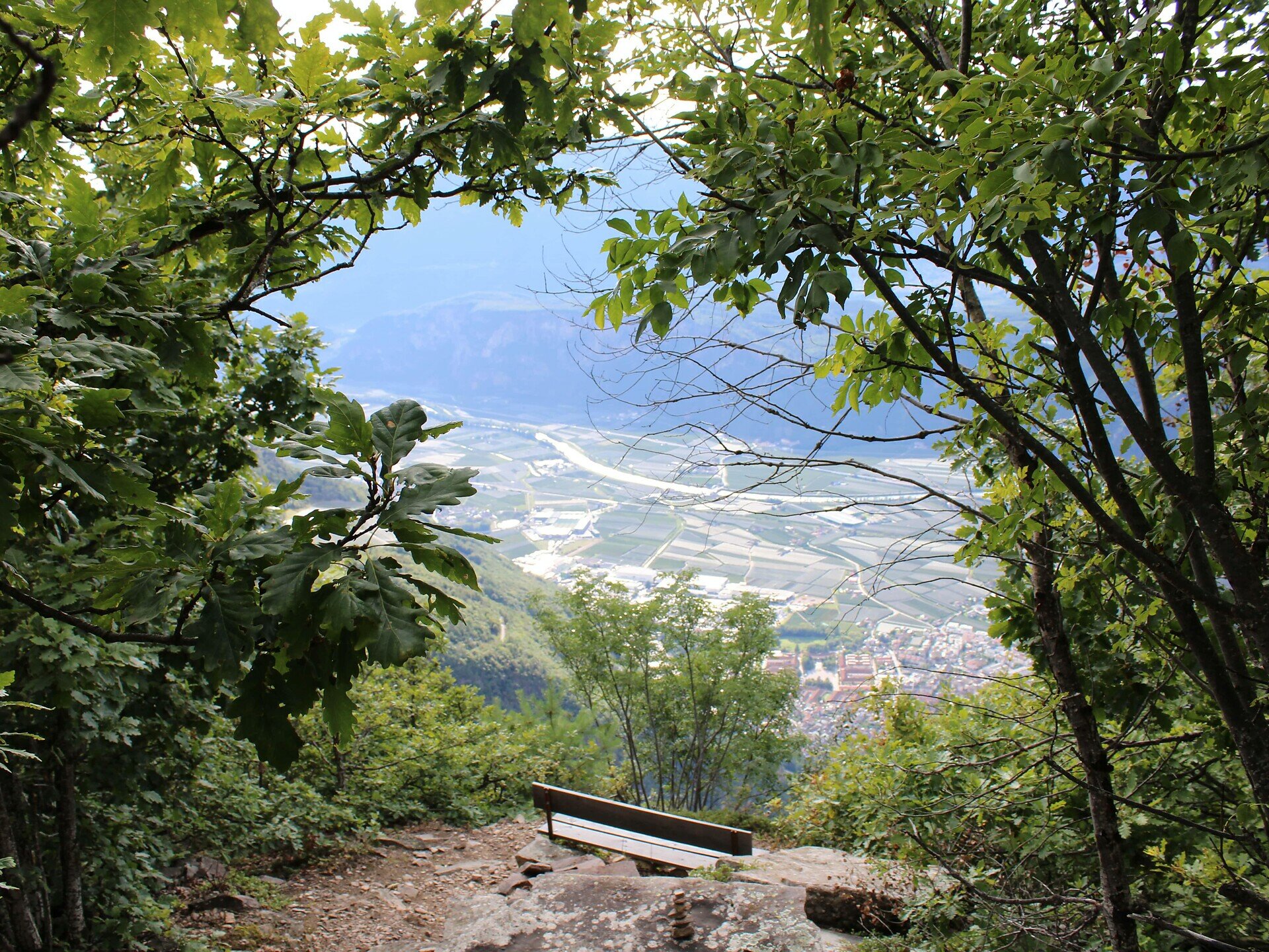
Along the way, the cozy Höggerhof snack station invites you to enjoy hearty homemade dishes – the perfect spot to recharge before continuing. The path then leads past a charming farmstead to the striking rocky outcrop of the prehistoric site. At the top, you are rewarded with breathtaking panoramic views that invite you to pause and soak it all in.
This hike is perfect for those who want to combine nature, history, and culinary delights. Families, nature lovers, and culture enthusiasts alike will find a memorable experience waiting here.
Gallery
Categories
  • Hiking trail
Route info
Intermediate
Distance
13,0 km
Activity time
3 h 55 min
Ascent
424 m
Descent
424 m
Physical effort
Scenary
Highest point
1.428 m
Lowest point
1.254 m
You might be interested in
Discover related tours
Welschnofen
Randonnée en famille du lac de Karer au monument dédié à Élisabeth
Distance 10,8 km
Activity time 2 h 58 min
Ascent 219 m
Descent 219 m
Status
open
Intermediate
Add to favourites
Deutschnofen
Randonnée en famille sur le sentier des alpages à Obereggen
Distance 10,9 km
Activity time 3 h 15 min
Ascent 469 m
Descent 469 m
Status
open
Intermediate
Add to favourites
Deutschnofen
Randonnée vers la Rotwand et le Rotstein
Distance 8,0 km
Activity time 2 h 30 min
Ascent 324 m
Descent 157 m
Status
open
Intermediate
Add to favourites
Deutschnofen
Randonnée : vallée du Kösertal – alpage de Lahner – alpage de Schmieder – alpage de Schönrast
Distance 8,1 km
Activity time 2 h 30 min
Ascent 283 m
Descent 283 m
Status
open
Intermediate
Add to favourites
Karersee, Welschnofen
Circuit de randonnée depuis le parking de Kaiserstein jusqu'au monument dédié à Christomannos
Distance 9,8 km
Activity time 3 h 11 min
Ascent 616 m
Descent 616 m
Status
open
Deutschnofen
Randonnée vers les alpages de Schönrast – Schmieder – Lahner
Distance 15,5 km
Activity time 4 h 30 min
Ascent 499 m
Descent 499 m
Status
open
© Gabriel Eisath
Neu
Der offizielle WhatsApp-Kanal von Eggental Tourismus!
Abonniere unseren Kanal

Verpasse keine Neuigkeiten mehr! Folge unserem neuen WhatsApp-Kanal und erhalte aktuelle News, Veranstaltungstipps und besondere Highlights aus dem Eggental direkt auf dein Handy.

Wir freuen uns auf dich!