Top

Snowshoe hike to the Frin meadows at Karersee | Carezza

Welschnofen
Add to favourites
Category
Difficulty
Easy
Activity time
2:59
Duration in hours
Distance
8.5
Distance in km
Status
open
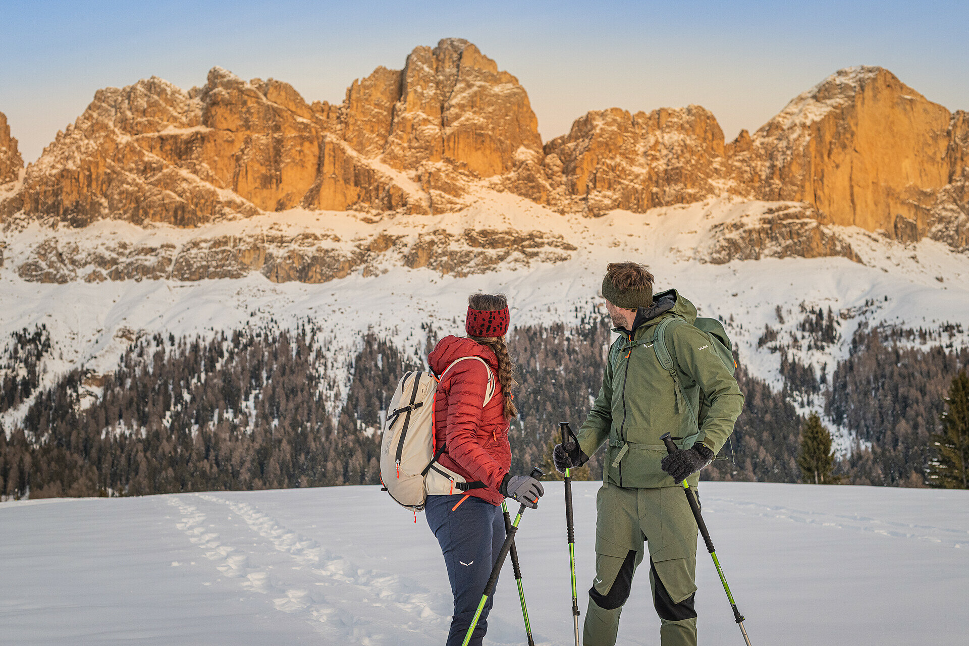
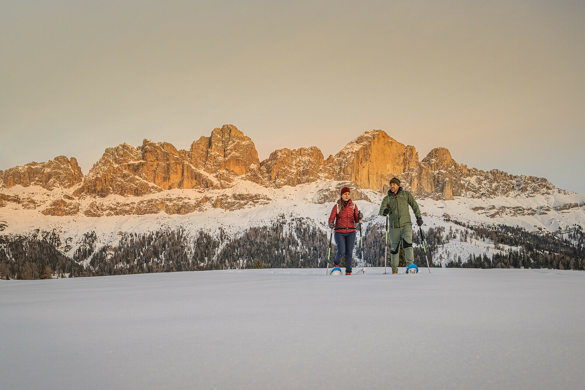
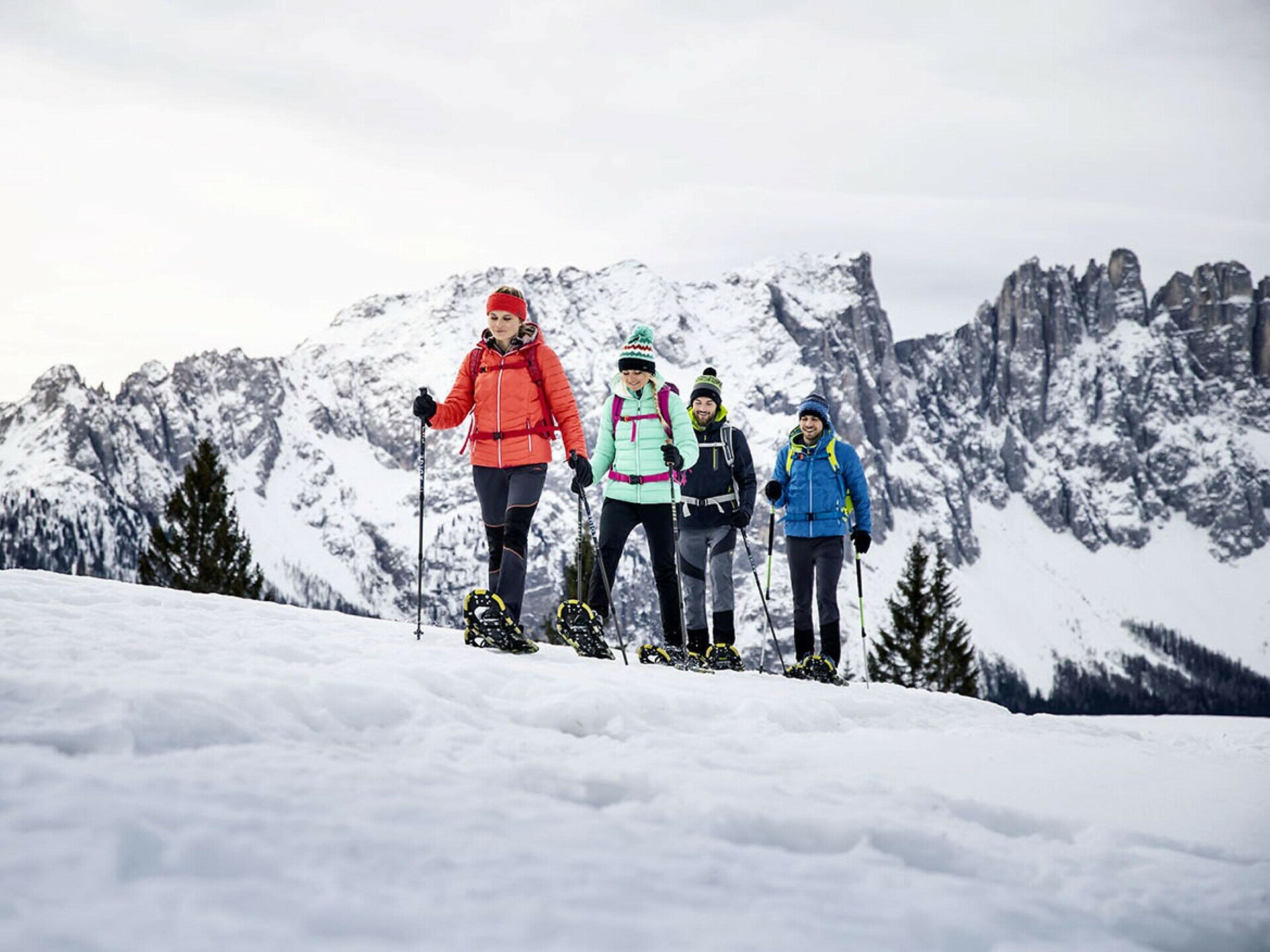
This snowshoe hike leads across the Frin meadows and offers great panoramic views of the Rosengarten, Latemar, and the snow-covered Dolomites – a place full of peace and nature.

This magnificent panoramic snowshoe hike leads across the picturesque alpine area of the Frin meadows and offers breathtaking views of the Rosengarten | Catinaccio and Latemar. Along the way, you’ll enjoy fascinating panoramic views of the vast snow-covered meadows and the surrounding Dolomite peaks. On the plateau, you'll find numerous "Schupfen," traditional private alpine huts. These give the area a unique, charming, and authentic character. The Frin meadows are a special place where you can fully enjoy the peace and quiet of nature.

Tags
  • Out and back
Route info
Easy
Distance
8,5 km
Activity time
2 h 59 min
Ascent
328 m
Descent
328 m
Physical effort
Scenary
Highest point
1.752 m
Lowest point
1.542 m
You might be interested in
Discover related tours
Intermediate
Add to favourites
Deutschnofen
Randonnée en raquettes Enzbirch
Distance 13,3 km
Activity time 4 h 51 min
Ascent 518 m
Descent 518 m
Status
open
Intermediate
Add to favourites
Deutschnofen
Randonnée en raquettes à neige jusqu'à la chapelle Saint-Agathe
Distance 5,0 km
Activity time 1 h 25 min
Ascent 150 m
Descent 150 m
Status
open
Deutschnofen
Randonnée en raquettes vers Häusler Sam
Distance 7,7 km
Activity time 2 h 54 min
Ascent 280 m
Descent 276 m
Status
open
Deutschnofen
Snowshoe roundtrip on the Jochgrimm
Distance 7,5 km
Activity time 2 h 37 min
Ascent 274 m
Descent 274 m
Status
closed
Intermediate
Add to favourites
Karersee, Welschnofen
Randonnée en raquettes à neige vers le Buselineck-Monte Nigra à Novare
Distance 10,7 km
Activity time 2 h 51 min
Ascent 140 m
Descent 727 m
Status
open
Intermediate
Add to favourites
Deutschnofen
Snowshoe Hike to Maria Weißenstein and the Laab hut
Distance 14,0 km
Activity time 4 h 35 min
Ascent 339 m
Descent 339 m
Status
open