Top

Sur le Rittersteig de Steinegg à Kardaun

Steinegg
Add to favourites
Difficulty
Intermediate
Activity time
2:45
Duration in hours
Distance
7.8
Distance in km
Status
open
Categories
  • Hiking trail
Tags
  • Linear route
Suggested period
Jan
Feb
Mar
Apr
May
Jun
Jul
Aug
Sep
Oct
Nov
Dec
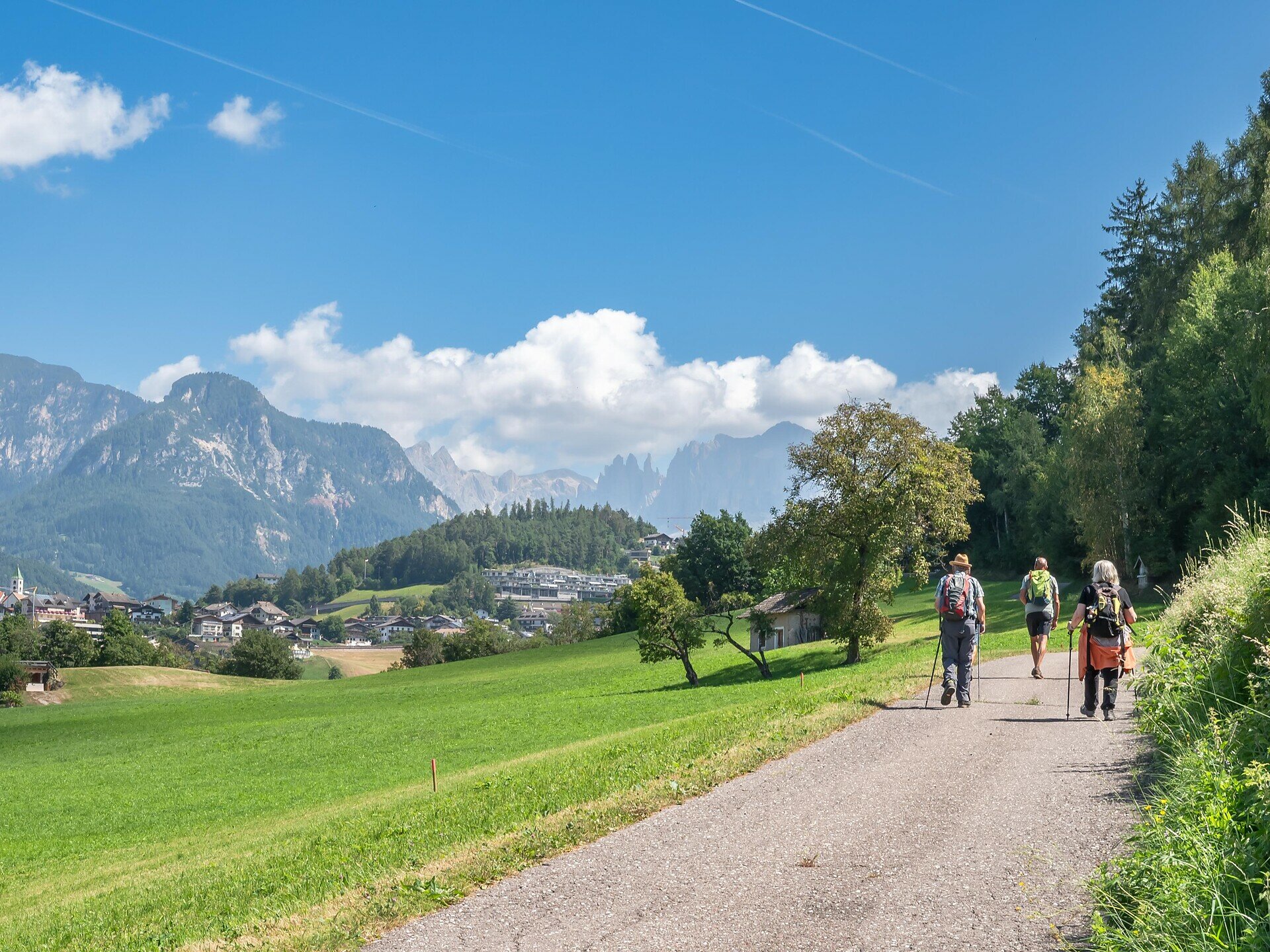
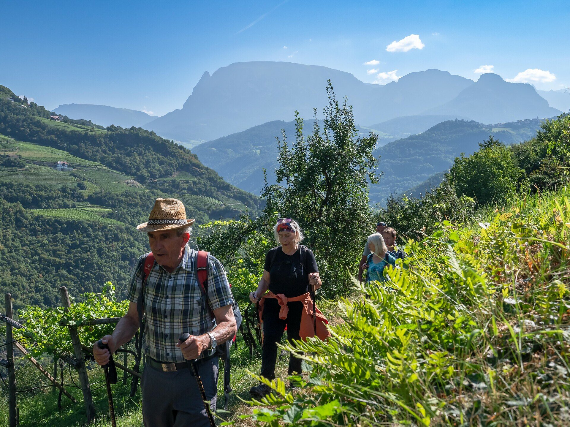
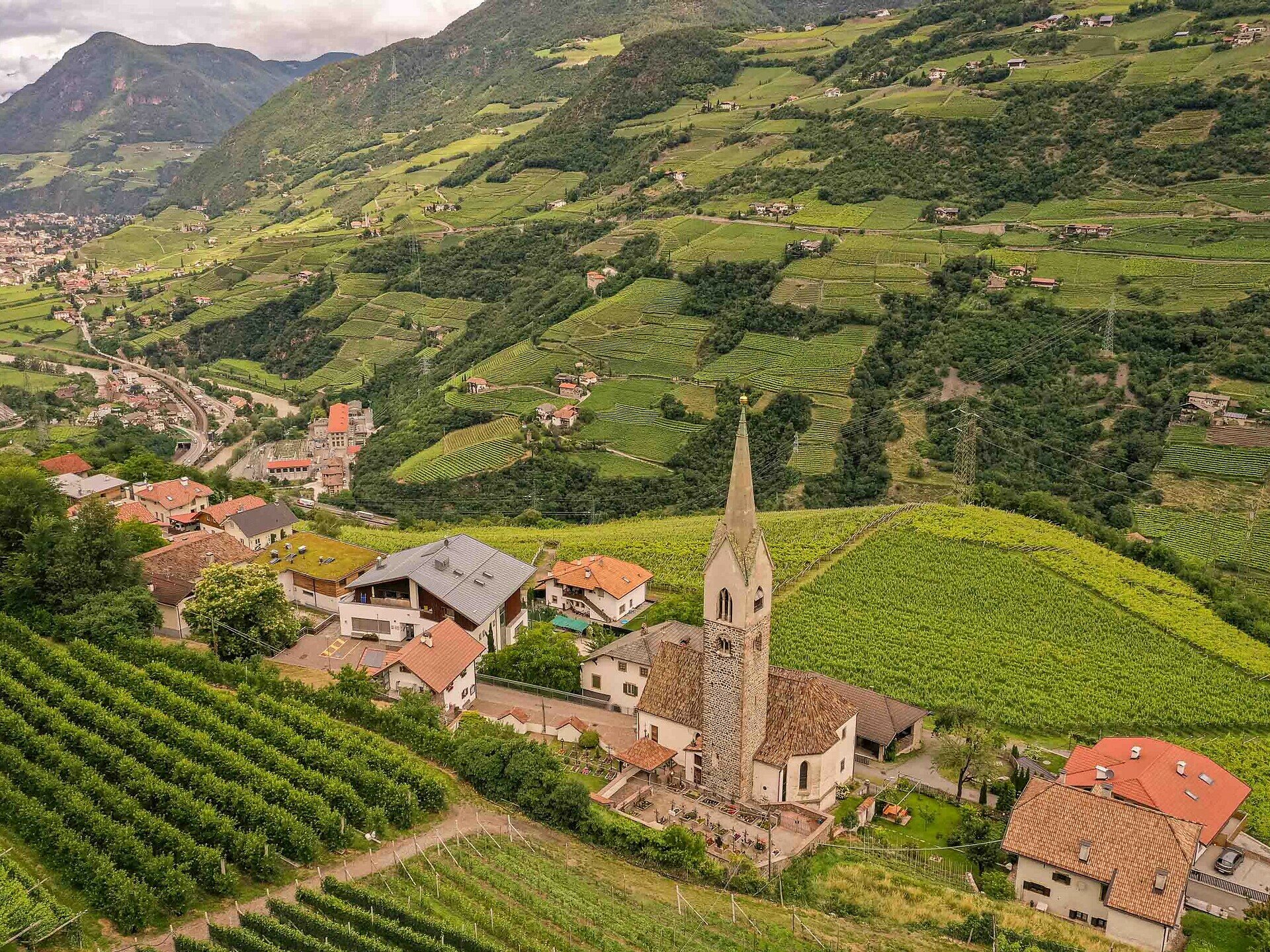
Varied hike along the Rittersteig from Steinegg|Collepietra to Kardaun|Cardano through forests, vineyards and with views of the castle of Karneid|Cornedo.

This varied hike combines nature, history and small discoveries.
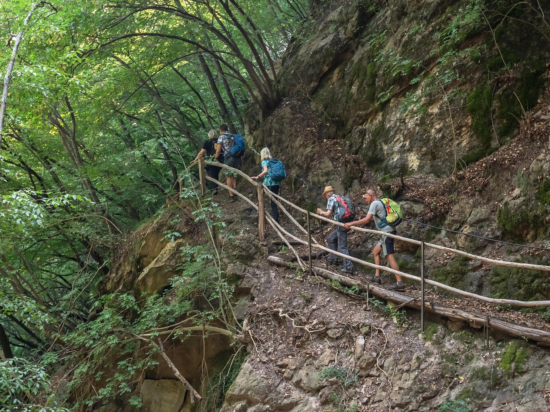
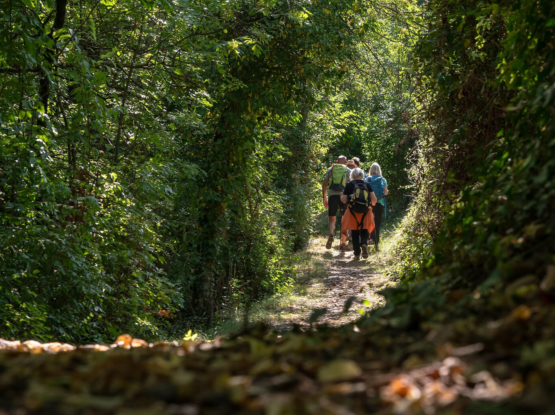
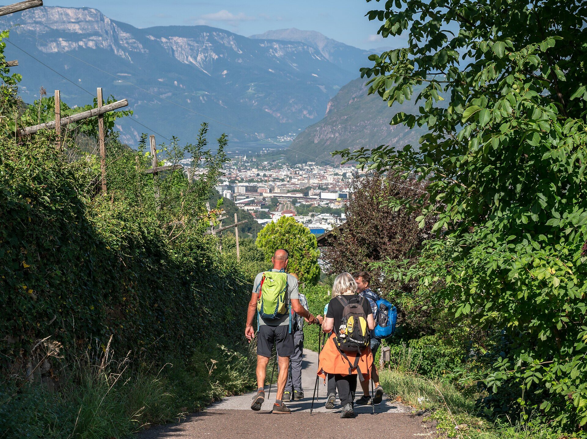
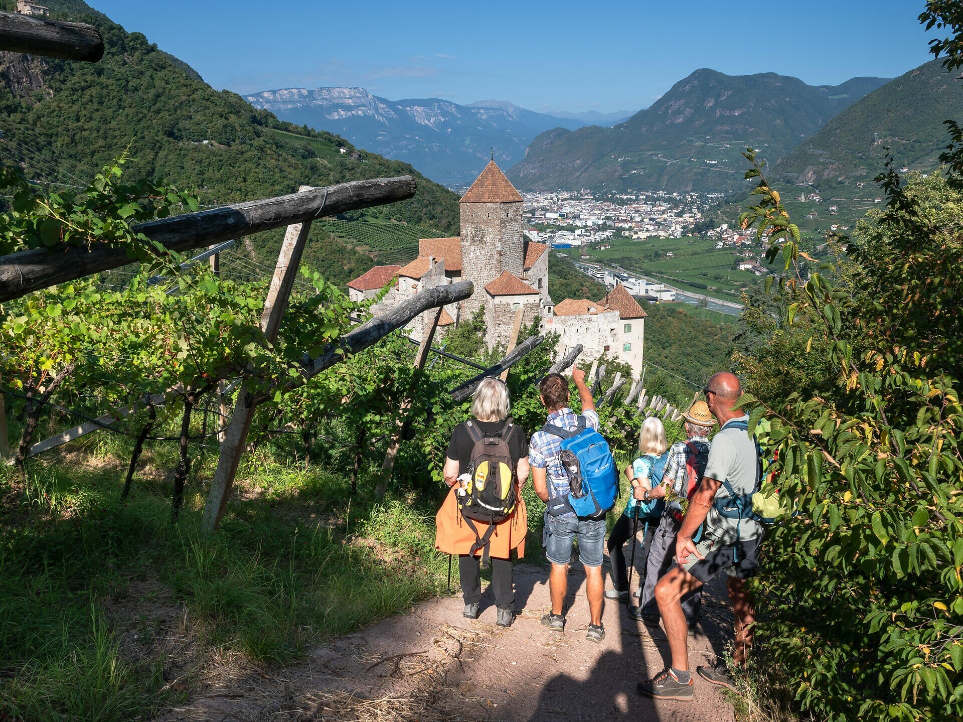
From Steinegg|Collepietra, the historic Rittersteig trail leads takes you straight through coniferous and deciduous forests; you’ll be walking along paths, that in places require good surefootedness, until you reach the first vineyards of the lower Eggental valley. Along the way, views open up over the Eisack|Isarco Valley and the striking Castle of Karneid in the distance.

Passing through the picturesque village of Karneid|Cornedo, you skirt the castle from afar before finally reaching Kardaun|Cardano, the gateway to the provincial capital of Bozen|Bolzano.

The tour can also be done in the opposite direction and is especially popular with uphill runners as a training route.

Please note: There are no refreshment stops along the entire route. At the starting point in Steinegg|Collepietra, you’ll find several restaurants, cafés and two village shops; at the end point in Kardaun|Cardano, there’s a café and two restaurants.
Gallery
Categories
  • Hiking trail
Tags
  • Linear route
Route info
Intermediate
Distance
7,8 km
Activity time
2 h 45 min
Ascent
192 m
Descent
729 m
Physical effort
Scenary
Highest point
820 m
Lowest point
283 m
You might be interested in
Discover related tours
Obereggen, Deutschnofen
Randonnée d'Obereggen au Lavazè
Distance 15,2 km
Activity time 4 h 55 min
Ascent 627 m
Descent 627 m
Status
open
Deutschnofen
Randonnée de Deutschnofen au lieu de pèlerinage de Maria Weißenstein
Distance 12,3 km
Activity time 3 h 50 min
Ascent 475 m
Descent 475 m
Status
open
Deutschnofen
Hike & Bike | De Obereggen à Maria Weissenstein
Distance 16,9 km
Activity time 5 h 10 min
Ascent 557 m
Descent 620 m
Status
open
Deutschnofen
Randonnée familiale : circuit Jochgrimm
Distance 5,5 km
Activity time 1 h 35 min
Ascent 168 m
Descent 168 m
Status
open
Intermediate
Add to favourites
Deutschnofen
Randonnée vers les alpages de l'Eggental
Distance 11,0 km
Activity time 3 h 25 min
Ascent 454 m
Descent 455 m
Status
open
Intermediate
Add to favourites
Steinegg
Chemin des étoiles de Gummer à Steinegg
Distance 12,2 km
Activity time 3 h 27 min
Ascent 334 m
Descent 656 m
Status
closed
© Gabriel Eisath
Neu
Der offizielle WhatsApp-Kanal von Eggental Tourismus!
Abonniere unseren Kanal

Verpasse keine Neuigkeiten mehr! Folge unserem neuen WhatsApp-Kanal und erhalte aktuelle News, Veranstaltungstipps und besondere Highlights aus dem Eggental direkt auf dein Handy.

Wir freuen uns auf dich!