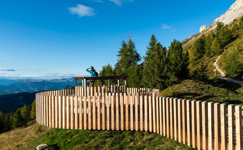
A mighty rockslide long ago created a mysterious world of boulders at the foot of the Latemar. This adventurous hike begins at the enchanting Lake Carezza and leads through the Latemar forest, famous for its valuable resonance wood used in instrument making, up to the panoramic viewpoint of the Mitterleger | Radura di Mezzo and into the Latemar Labyrinth. Here, the trail winds past bizarre rock formations, narrow gorges, and stone passages where you sometimes need to use your hands for support. Along the way, breathtaking views of both the Latemar and the Rosengarten | Catinaccio constantly open up. A hiking experience full of discovery and adventure.
The route leads from Lake Carezza along forest road [11] to the Mitterleger | Radura di Mezzo. From here, continue on the Labyrinth path (path [20]). At the path junction, turn left onto path [18] and then follow path [21], which leads back to the Mitterleger | Radura di Mezzo. The return route follows path [11] back to Lake Carezza.
Refreshment stop: Sea Bistro at Lake Carezza - Opening hours and closing day: https://eggental.com/en/info/sea-bistro_5234
Getting to the starting point of the tour by public transport is easy and convenient.
By public bus line:
- 180 from Bozen | Bolzano, Birchabruck | Ponte Nova
- 180 or 184 from Karerpass | Passo Costalunga
- 184 from Weissenstein | Pietralba, Petersberg | Monte San Pietro, Deutschnofen | Nova Ponente, Stenk (or 181 and change 180)
- 184 from Obereggen, Eggen | Ega (or 184 and change 180)
- 187 from Steinegg | Collepietra, Gummer | San Valentino (or 182 and change 180)
- 180 from Val di Fassa
Bus stop: Karer See | Lago di Carezza. Online timetable search at www.suedtirolmobil.info/en/
By public bus line:
- 180 from Bozen | Bolzano, Birchabruck | Ponte Nova, Welschnofen | Nova Levante
- 180 from Fassatal | Val di Fassa, Karer Pass | Passo Costalunga, Karersee | Carezza
- 184 from Weissenstein | Pietralba, Petersberg | Monte San Pietro, Deutschnofen | Nova Ponente, Stenk with change 180 (or 181 and change 180)
- 184 from Obereggen, Eggen | Ega with change 180 (or 184 and change 180)
- 186 from St. Zyprian | S. Cipriano, Nigerpass | Passo Nigra with change 180
- 187 from Steinegg | Collepietra, Gummer | San Valentino with change 180 (or 182 and change 180)
Bus stop: Karer See | Lago di Carezza. Online timetable search at www.suedtirolmobil.info/en/
By car:
Destination: Karersee | Carezza
Parking: Parking lot Karer See | Lago di Carezza


