Top

Winter hike from Lake Carezz to the Stadl Alm hut

Welschnofen
Add to favourites
Category
Difficulty
Easy
Activity time
2:08
Duration in hours
Distance
8
Distance in km
Suggested period
Jan
Feb
Mar
Apr
May
Jun
Jul
Aug
Sep
Oct
Nov
Dec
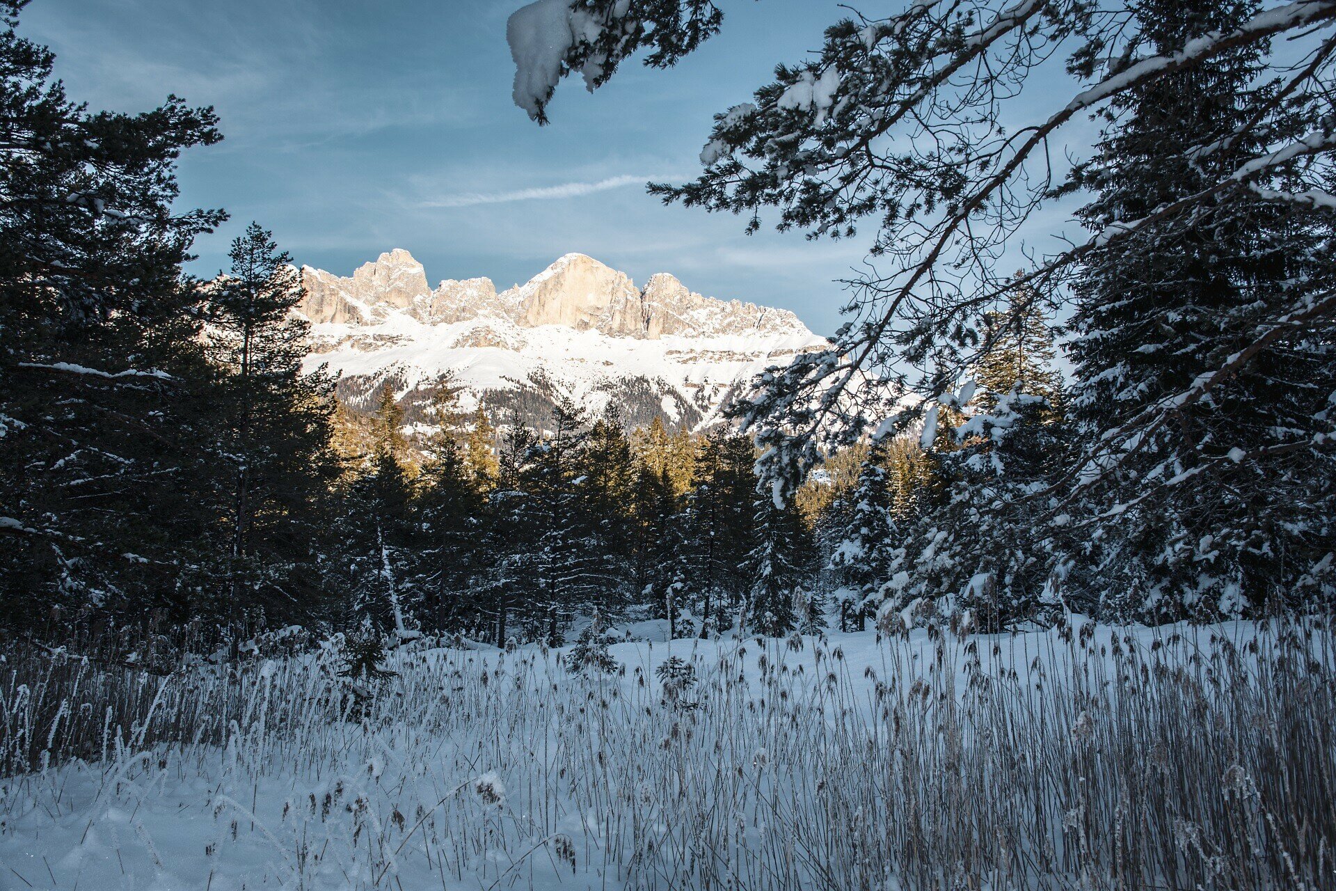
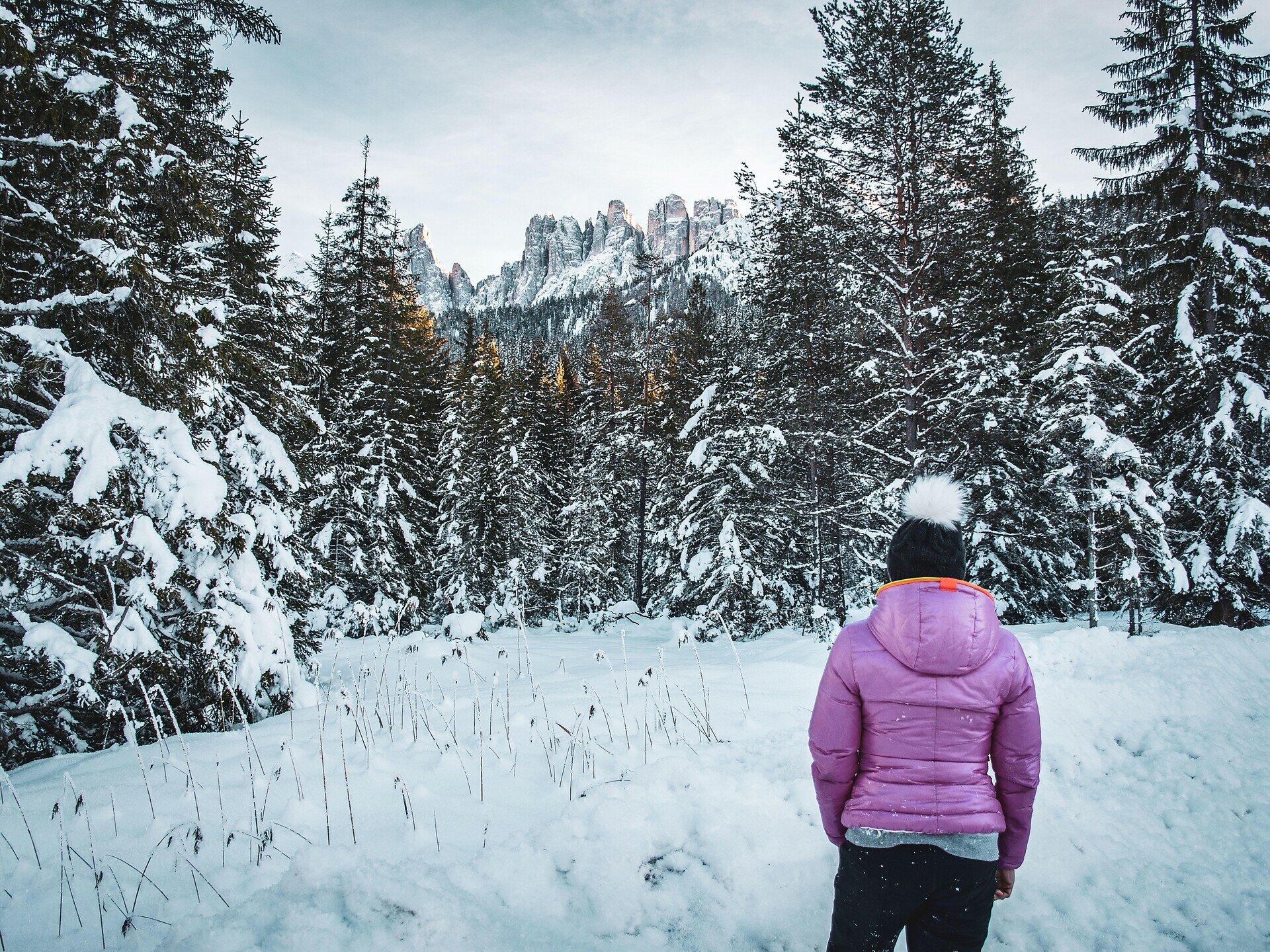
The winter hike starts at Lake Carezza and follows prepared paths through peaceful forests. At the Stadl Alm hut, a breathtaking panoramic view opens up.

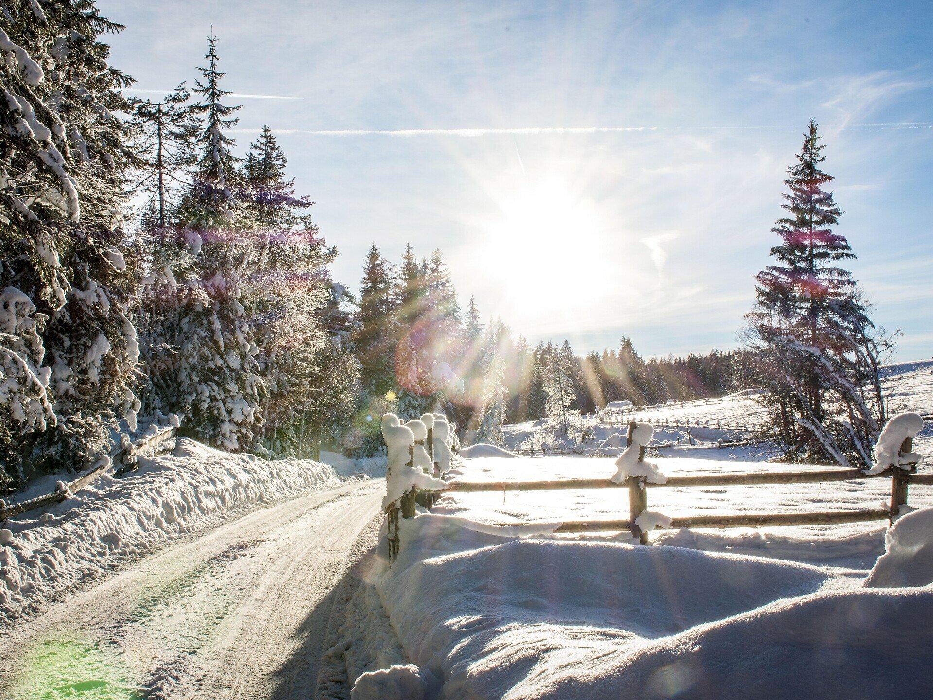
This winter hike starts at the quiet, deeply snow-covered Lake Carezza (Karer See | Lago di Carezza), whose winter charm is impressive right from the start. From here, the path leads along well-prepared trails through dense forests that exude a special sense of peace. The route is easy to walk, yet still offers varied sections with open views of the Dolomites. At the Stadl Alm hut, a wide panoramic view unfolds, revealing snowy meadows as well as the Rosengarten  Catinaccio and Latemar.

Route info
Easy
Distance
8,0 km
Activity time
2 h 08 min
Ascent
111 m
Descent
111 m
Technical skills
Physical effort
Scenary
Highest point
1.555 m
Lowest point
1.465 m
Directions

This hike starts at Lake Carezza and leads along the "Templ" path [8] through the Latemar forest. Paths [25A] and [25] then lead to the Stadl Alm hut. For the way back, take the same route.

ATTENTION: The Stadl Alm hut is closed in winter.

public transportation
Getting to the starting point of the tour by public transport is easy and convenient.
 
By public bus line:
- 180 from Bozen | Bolzano, Birchabruck | Ponte Nova, Welschnofen | Nova Levante
- 180 from Fassatal | Val di Fassa, Karer Pass | Passo Costalunga, Karersee | Carezza
- 184 from Weissenstein | Pietralba, Petersberg | Monte San Pietro, Deutschnofen | Nova Ponente, Stenk with change 180 (or 181 and change 180)
- 184 from Obereggen, Eggen | Ega with change 180 (or 184 and change 180)
- 186 from St. Zyprian | S. Cipriano, Nigerpass | Passo Nigra with change 180
- 187 from Steinegg | Collepietra, Gummer | San Valentino with change 180 (or 182 and change 180)

Bus stop: Karer See | Lago di Carezza. Online timetable search at www.suedtirolmobil.info/en/
How to get there
Getting to the starting point of the tour by public transport is easy and convenient.
 
By public bus line:
- 180 from Bozen | Bolzano, Birchabruck | Ponte Nova, Welschnofen | Nova Levante
- 180 from Fassatal | Val di Fassa, Karer Pass | Passo Costalunga, Karersee | Carezza
- 184 from Weissenstein | Pietralba, Petersberg | Monte San Pietro, Deutschnofen | Nova Ponente, Stenk with change 180 (or 181 and change 180)
- 184 from Obereggen, Eggen | Ega with change 180 (or 184 and change 180)
- 186 from St. Zyprian | S. Cipriano, Nigerpass | Passo Nigra with change 180
- 187 from Steinegg | Collepietra, Gummer | San Valentino with change 180 (or 182 and change 180)

Bus stop: Karer See | Lago di Carezza. Online timetable search at www.suedtirolmobil.info/en/

By car: 
Destination: Karersee | Carezza
Parking: Parking lot Karer See | Lago di Carezza
Where to park
Parking: Parking lot Karer See | Lago di Carezza (with costs): https://goo.gl/maps/w4SVXQJJyxtUaLdUA
Good winter equipment is required (winter boots, possibly also crampons if needed, etc.).
You might be interested in
Discover related tours
Deutschnofen
Winter hike from Ega to Novale
Distance 6,6 km
Activity time 2 h 05 min
Ascent 352 m
Descent 352 m
Deutschnofen
Winter hike to the huts Schönrast - Schmieder - Lahner
Distance 15,5 km
Activity time 4 h 30 min
Ascent 491 m
Descent 491 m
Intermediate
Add to favourites
Deutschnofen
Winter hike from Nova Ponente to Unterkaplun to the Wölflhof farm
Distance 7,5 km
Activity time 2 h 05 min
Ascent 194 m
Descent 195 m
Intermediate
Add to favourites
Karersee, Welschnofen
Winter hike from the Karerpass | Passo Costalunga to Lake Carezza
Distance 4,7 km
Activity time 1 h 10 min
Ascent 11 m
Descent 221 m
Karersee, Welschnofen
Winter alpine hut hike from Karersee | Carezza to Welschnofen | Nova Levante
Distance 19,5 km
Activity time 5 h 19 min
Ascent 346 m
Descent 821 m
Welschnofen, Karersee
Winter hike from the Frommer Alm hut to the Messnerjoch hut
Distance 7,8 km
Activity time 2 h 23 min
Ascent 352 m
Descent 352 m