

Attention: Schillerhof permanently closed!
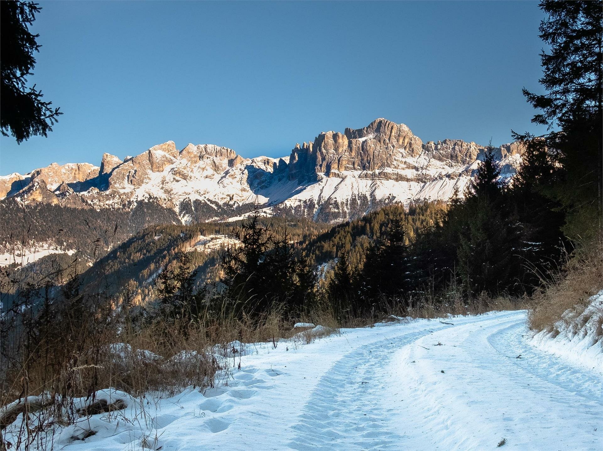
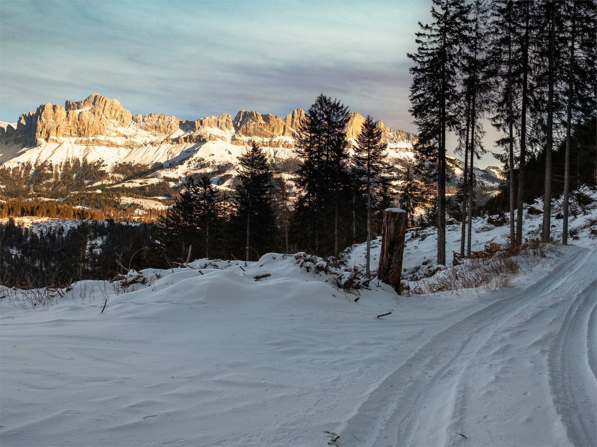
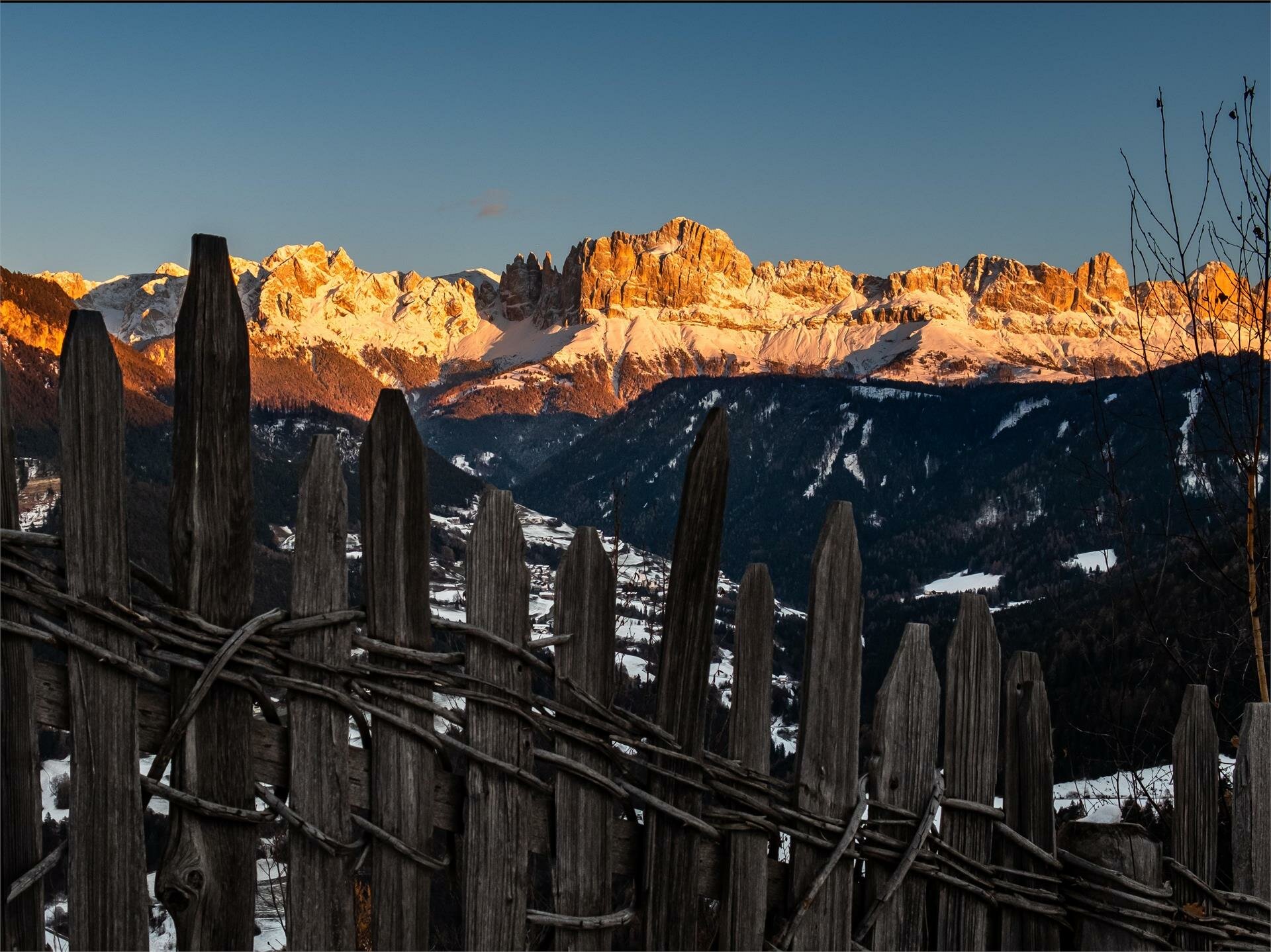
Start by the car park next to the guesthouse Lärchenwald at Obergummer|San Valentino di Sopra on the hike [1]. The way back is via the same route as the outward tour.
Getting to the starting point of the tour by public transport is easy and convenient.
By public bus line
- 182 from Bozen | Bolzano
- 187 from Welschnofen | Nova Levante
- 180 from Karersee | Lago di Carezza, Karerpass | Passo Costalunga, Val di Fassa*
- 184 from Oberggen, Eggen | Ega*
- 181 from Weissenstein | Pietralba, Petersberg | Monte San Pietro, Deutschnofen | Nova Pontente, Stenk*
- 187 or 182 from Steinegg | Collepietra
*change in Birchabruck | Ponte Nova to the line 182
Bus stop: Obergummer | San Valentino di Sopra; online timetable search at South Tyrol Mobility
Short walk from the Obergummer bus stop to the guesthouse Lärchenwald.
Starting point: parking lot next to the guesthouse Lärchenwald
By car:
Destination: Obergummer | San Valentino di Sopra
Parking: Public parking lot next to the guesthouse Lärchenwald
Starting point: parking lot next to the guesthouse Lärchenwald
Starting point: parking lot next to the guesthouse Lärchenwald


