Top

Winter hike from the Laab hut to the Neuhütt hut

Deutschnofen
Add to favourites
Category
Difficulty
Easy
Activity time
1:48
Duration in hours
Distance
7
Distance in km
Status
open
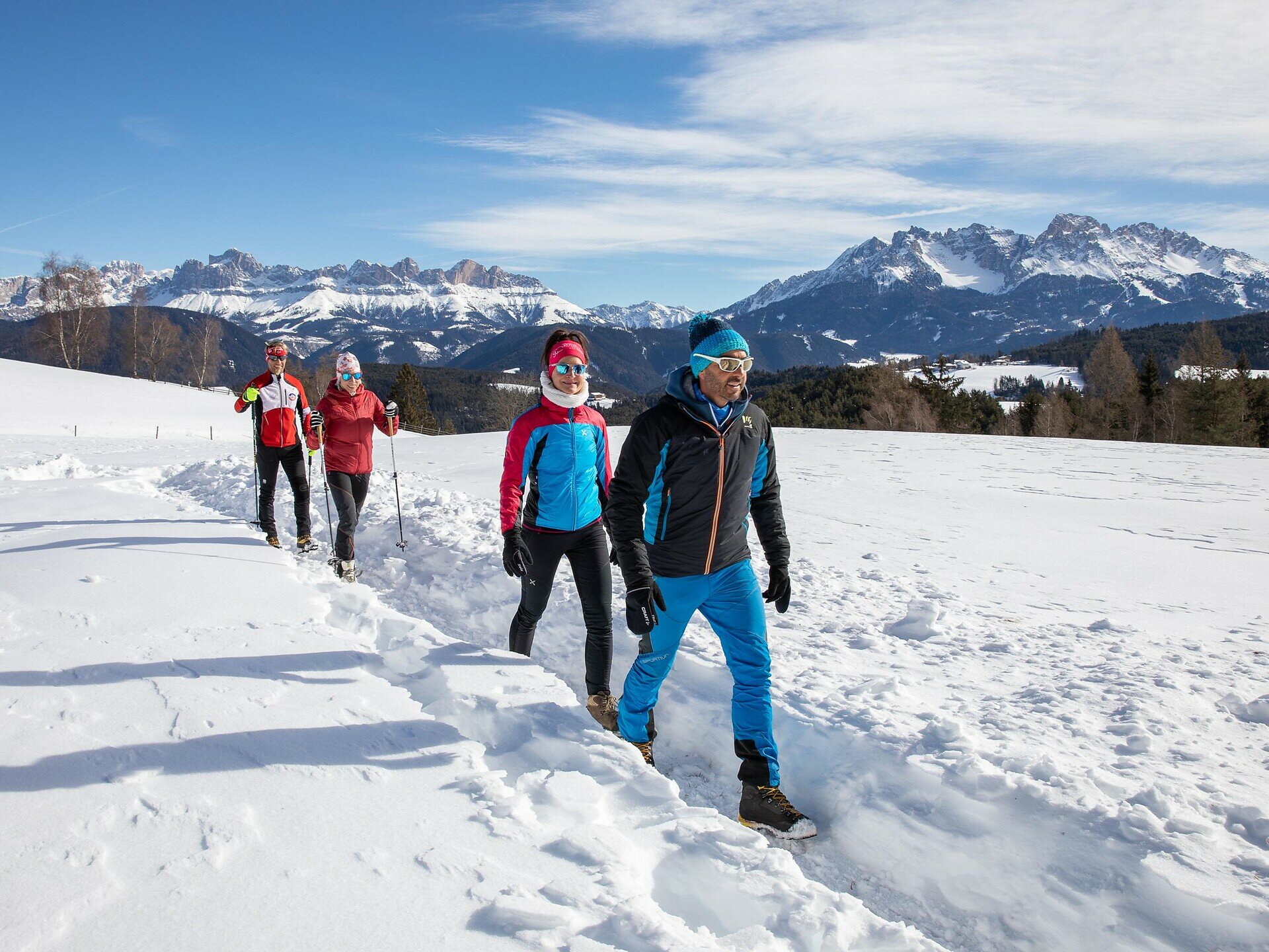
Relaxed winter hike from Laab Alm to Neuhütt Alm – through snowy forests and peaceful nature. Perfect for families and those seeking quiet moments.
The winter hike from Laab Alm to Neuhütt Alm offers a peaceful nature experience for those who enjoy quiet moments. The trail gently winds through snow-covered forests and open clearings, surrounded by the stillness of the winter landscape. With each step, the crunch of snow and the crisp mountain air create a sense of calm and connection to nature. At the Neuhütt Alm, a warm welcome and delicious South Tyrolean dishes await in a cozy alpine setting. This hike is perfect for anyone seeking to slow down, enjoy the winter silence, and share the moment – whether alone, as a couple, or with the whole family.
Tags
  • Out and back
Route info
Easy
Distance
7,0 km
Activity time
1 h 48 min
Ascent
152 m
Descent
154 m
Technical skills
Physical effort
Scenary
Highest point
1.787 m
Lowest point
1.642 m
You might be interested in
Discover related tours
Deutschnofen
Winter hike to the huts Schönrast - Schmieder - Lahner
Distance 15,5 km
Activity time 4 h 28 min
Ascent 491 m
Descent 491 m
Status
open
Intermediate
Add to favourites
Welschnofen
Randonnée d'hiver de Welschnofen au Schiller Hof
Distance 8,2 km
Activity time 2 h 34 min
Ascent 429 m
Descent 429 m
Status
open
Welschnofen
Randonnée hivernale vers les prairies de Frinwiesen à Karersee
Distance 4,0 km
Activity time 1 h 10 min
Ascent 141 m
Descent 141 m
Status
open
Welschnofen
Long parcours hivernal autour du lac de Karer
Distance 5,6 km
Activity time 1 h 33 min
Ascent 127 m
Descent 130 m
Status
open
Deutschnofen, Welschnofen
Winter hike from Obereggen to Lake Carezza via the path "Templweg"
Distance 7,0 km
Activity time 1 h 50 min
Ascent 77 m
Descent 92 m
Status
open
Welschnofen
Winter hike from the Frommer Alm hut to Ochsenhütte hut
Distance 4,2 km
Activity time 1 h 10 min
Ascent 99 m
Descent 99 m
Status
open