Top

Sentier panoramique d'hiver à Welschnofen

Welschnofen
Add to favourites
Difficulty
Easy
Activity time
1:25
Duration in hours
Distance
5.1
Distance in km
Status
open
Categories
  • Winter hiking
Tags
  • Round trip
Suggested period
Jan
Feb
Mar
Apr
May
Jun
Jul
Aug
Sep
Oct
Nov
Dec
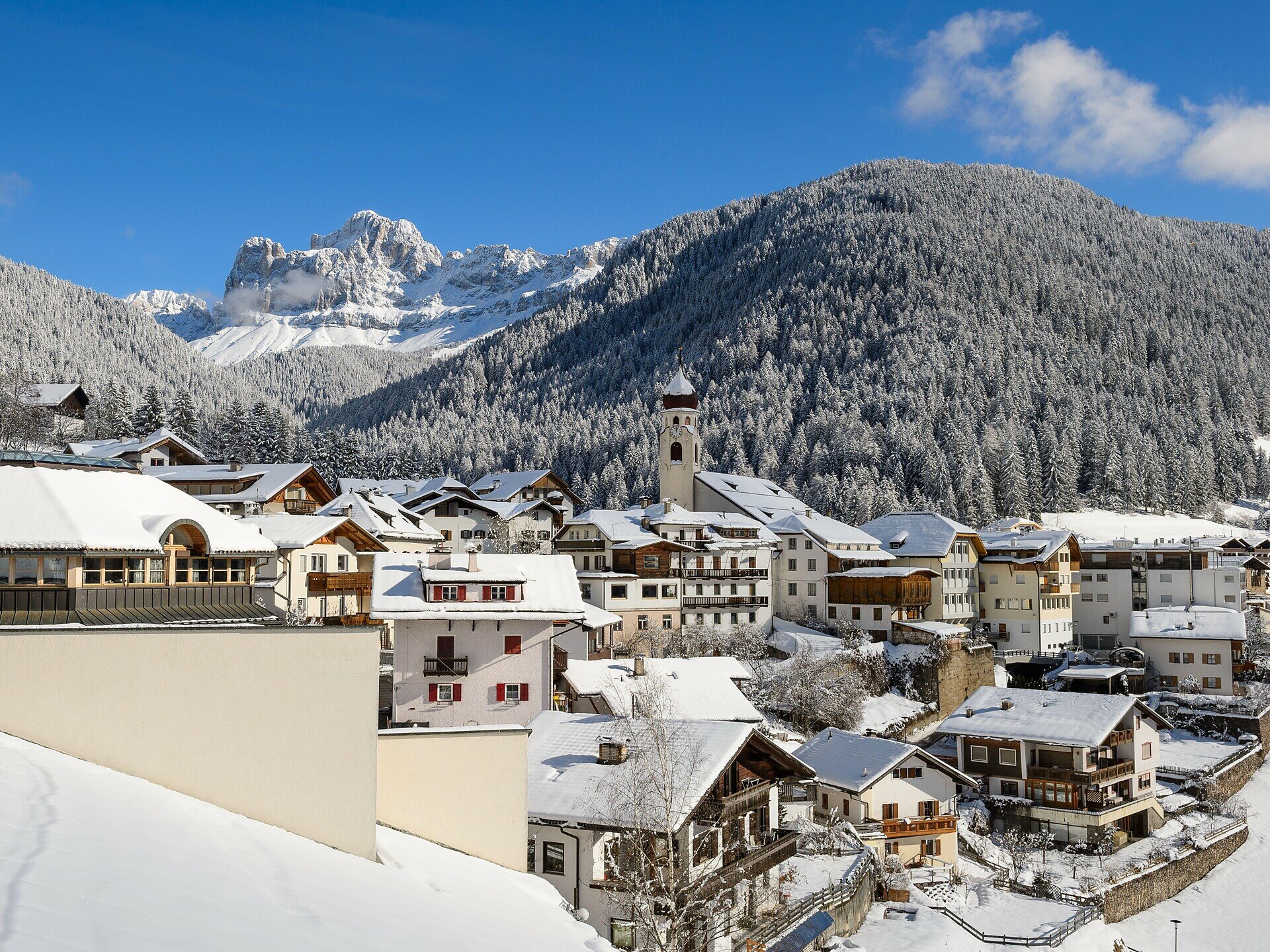
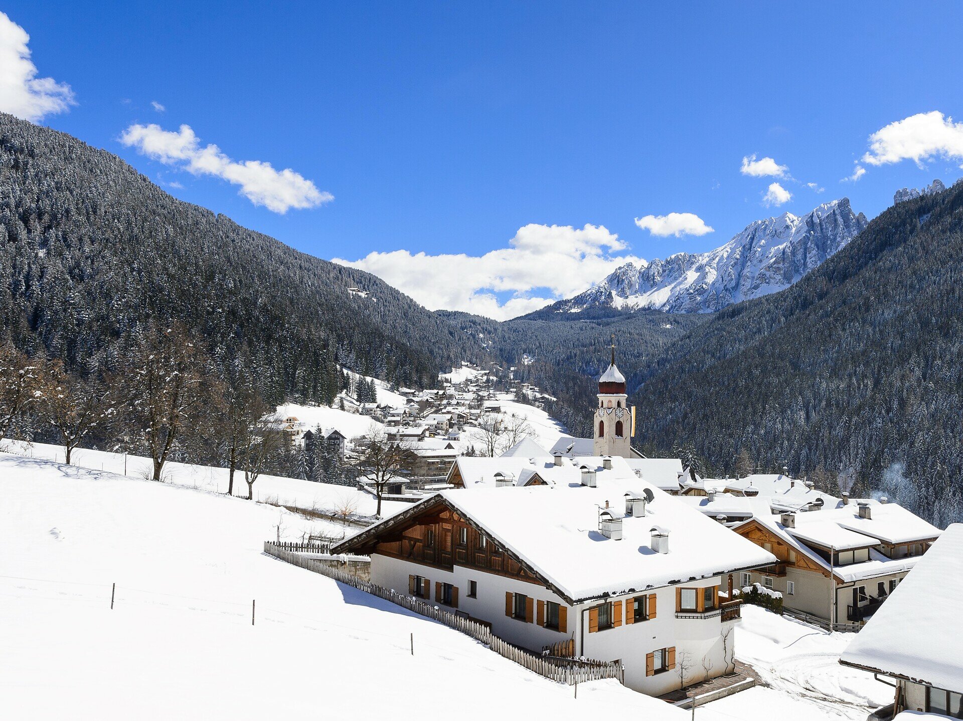
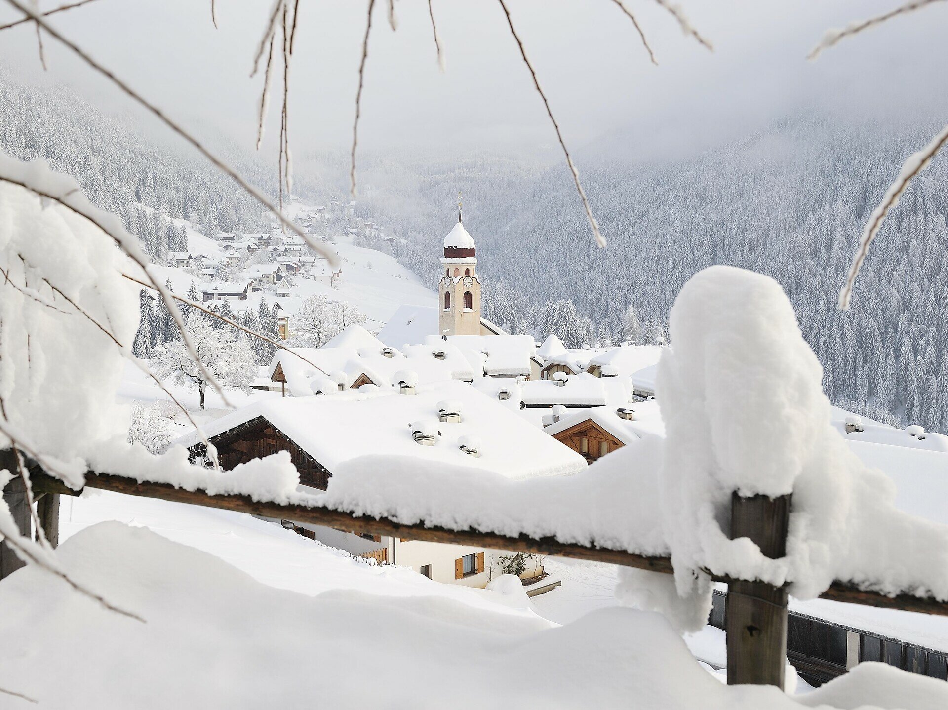
Discover the enchanting winter panorama path in Welschnofen | Nova Levante, offering breathtaking views of the snow-covered village and surrounding Dolomites.
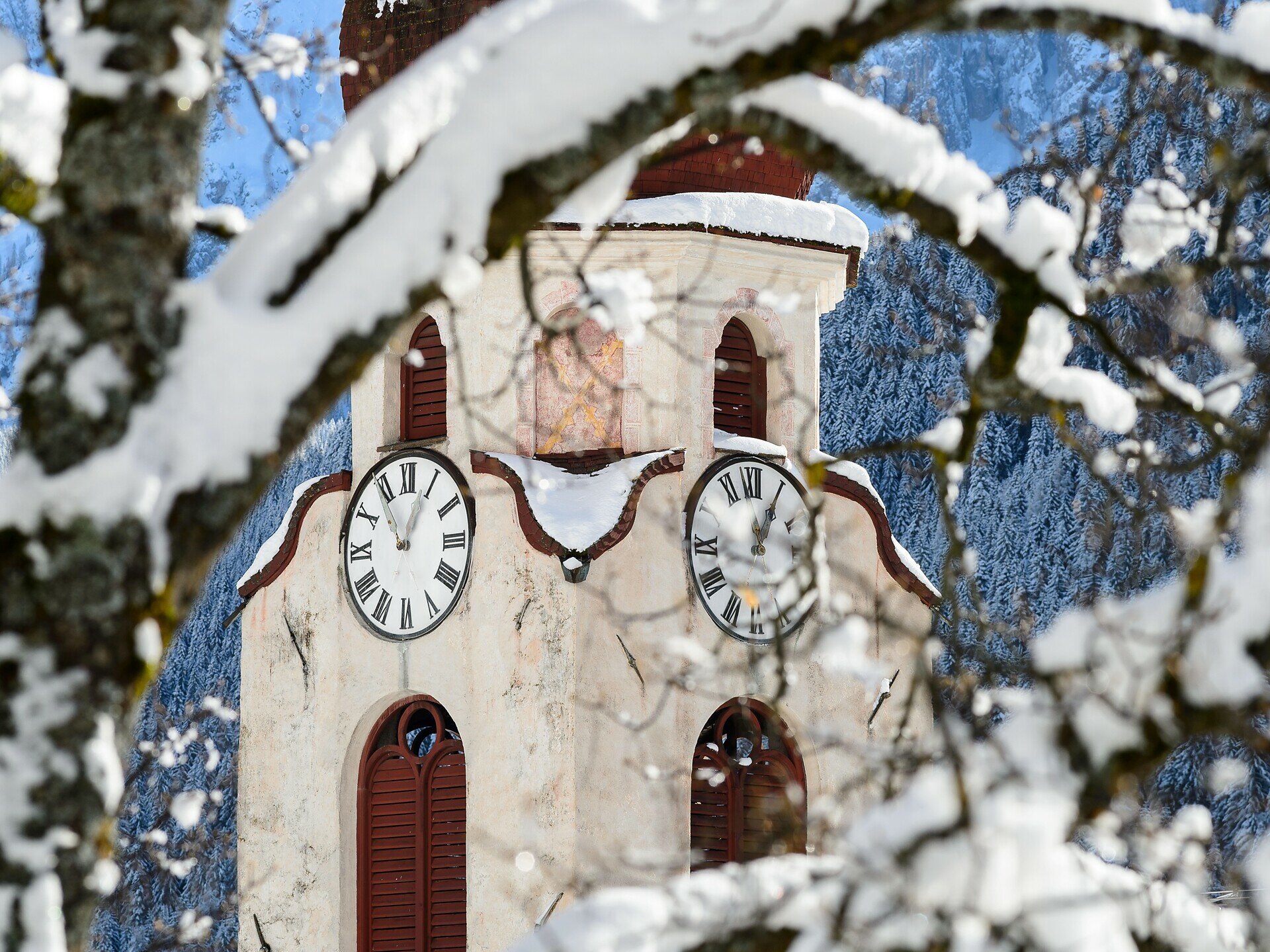
The winter panorama path in Welschnofen | Nova Levante is a pleasant circular hike that delights both locals and tourists. With a length of 5.1 kilometers and a duration of about 1 hour and 30 minutes, it’s perfect for a relaxed stroll. The path runs above the village center, offering stunning views of the surrounding Rosengarten | Catinaccio and Latemar and valley. Interesting stops along the way provide information about the village, its history, and traditions.
Gallery
Categories
  • Winter hiking
Tags
  • Round trip
Route info
Easy
Distance
5,1 km
Activity time
1 h 25 min
Ascent
143 m
Descent
143 m
Technical skills
Physical effort
Scenary
Highest point
1.241 m
Lowest point
1.150 m
You might be interested in
Discover related tours
Welschnofen
Randonnée hivernale du lac de Karer à l'Alpage Stadl
Distance 8,2 km
Activity time 2 h 15 min
Ascent 92 m
Descent 101 m
Status
open
Deutschnofen, Welschnofen
Randonnée hivernale du lac de Carezza jusqu'à l'auberge de montagne Häusler Sam
Distance 13,1 km
Activity time 3 h 25 min
Ascent 155 m
Descent 155 m
Status
open
Welschnofen, Karersee
Randonnée hivernale de la Frommer Alm à la cabane d'alpage Messnerjoch
Distance 10,8 km
Activity time 2 h 23 min
Ascent 352 m
Descent 352 m
Status
open
Deutschnofen
Randonnée d'hiver d'Eggen à Rauth
Distance 6,9 km
Activity time 2 h 05 min
Ascent 352 m
Descent 352 m
Status
open
Intermediate
Add to favourites
Deutschnofen
Randonnée hivernale jusqu'au Wölflhof
Distance 2,5 km
Activity time 45 min
Ascent 72 m
Descent 145 m
Status
open
Welschnofen, Karersee
Randonnée hivernale du col de Karer au lac de Karer
Distance 4,6 km
Activity time 1 h 10 min
Ascent 11 m
Descent 221 m
Status
open
© Gabriel Eisath
Neu
Der offizielle WhatsApp-Kanal von Eggental Tourismus!
Abonniere unseren Kanal

Verpasse keine Neuigkeiten mehr! Folge unserem neuen WhatsApp-Kanal und erhalte aktuelle News, Veranstaltungstipps und besondere Highlights aus dem Eggental direkt auf dein Handy.

Wir freuen uns auf dich!