
Difficulty
EasyActivity time
0:30
Duration in hours
Distance
1.8
Distance in km
Status
open
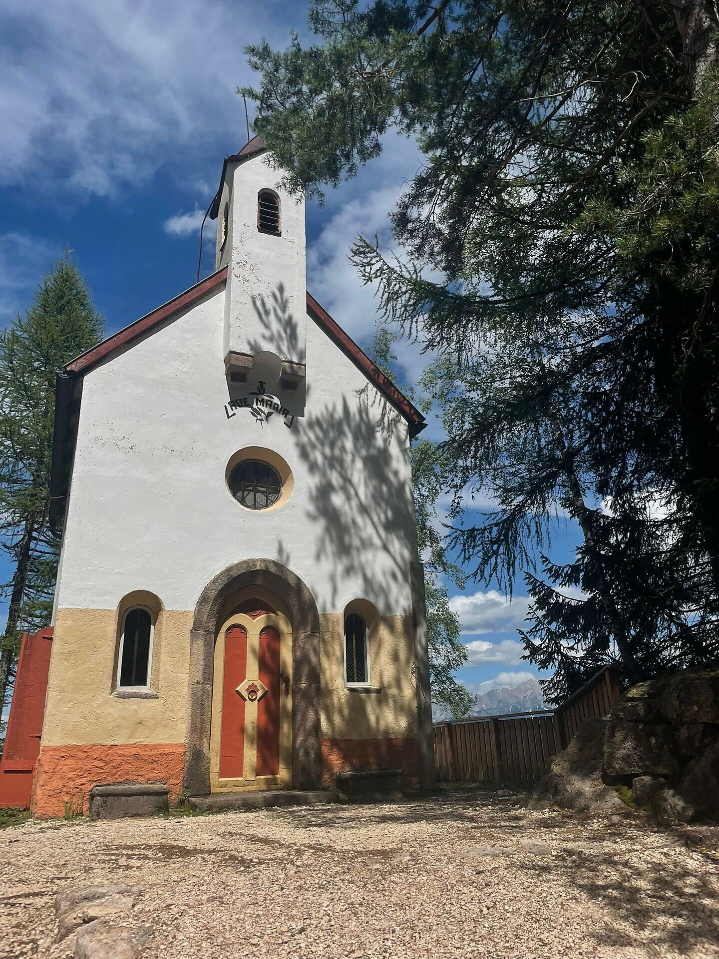
Leisurely walk from Maria Weissenstein to St. Leonhard – perfect for nature lovers, peace seekers, and those with a spiritual curiosity.
A walk that speaks to the soul: Starting from the well-known pilgrimage site of Maria Weissenstein, this peaceful path leads through meadows, forested sections, and quiet countryside to the small settlement of St. Leonhard. The route is easy and suitable for anyone seeking tranquility, reflection, or a gentle way to experience nature.
Along the way, you’ll enjoy scenic views of the Eggental landscape, pass by traditional farmhouses, and experience a rare, calming silence. Blending nature, local culture and a touch of spirituality, this walk offers a truly meaningful experience – perfect for families, seniors, and mindful wanderers.
Gallery
You might be interested in
Discover related tours


