Top

Circuit de randonnée depuis le parking de Paolina jusqu'au labyrinthe rocheux du Latemar

Welschnofen
Add to favourites
Difficulty
Intermediate
Activity time
3:10
Duration in hours
Distance
10.5
Distance in km
Status
open
Categories
  • Hiking trail
Tags
  • Round trip
  • Family-friendly
Suggested period
Jan
Feb
Mar
Apr
May
Jun
Jul
Aug
Sep
Oct
Nov
Dec
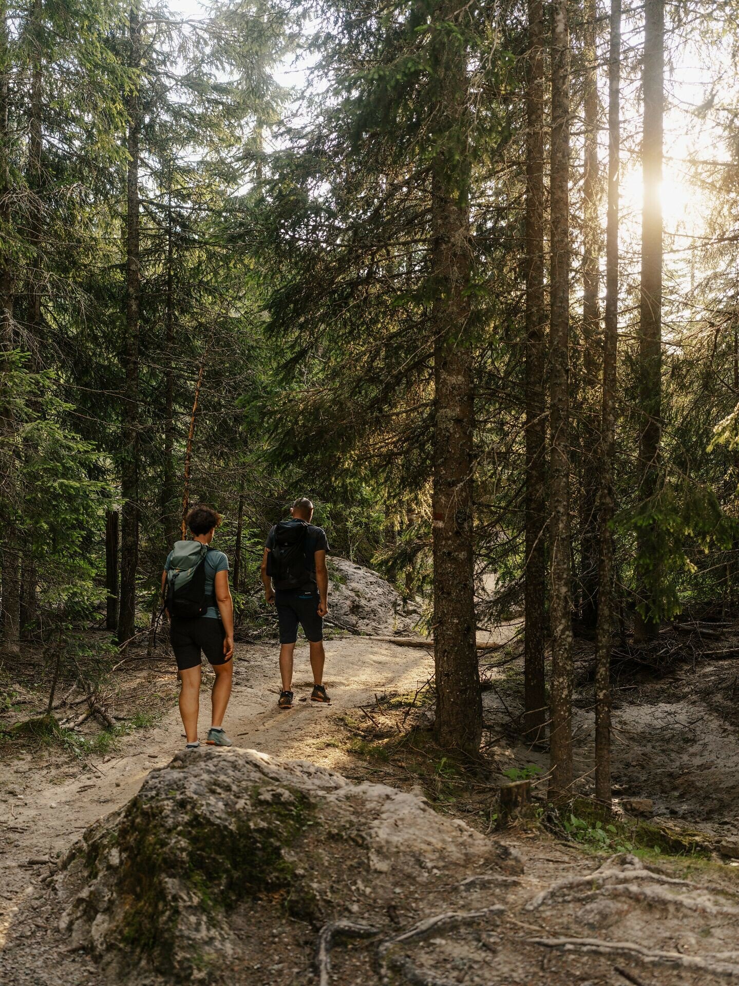
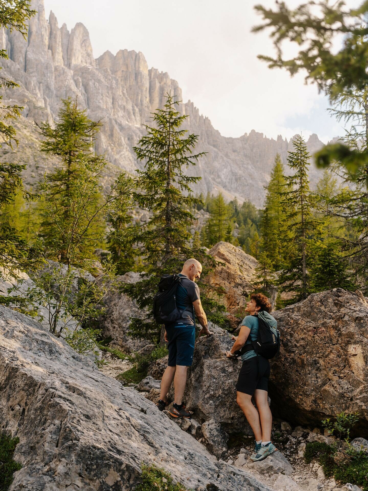
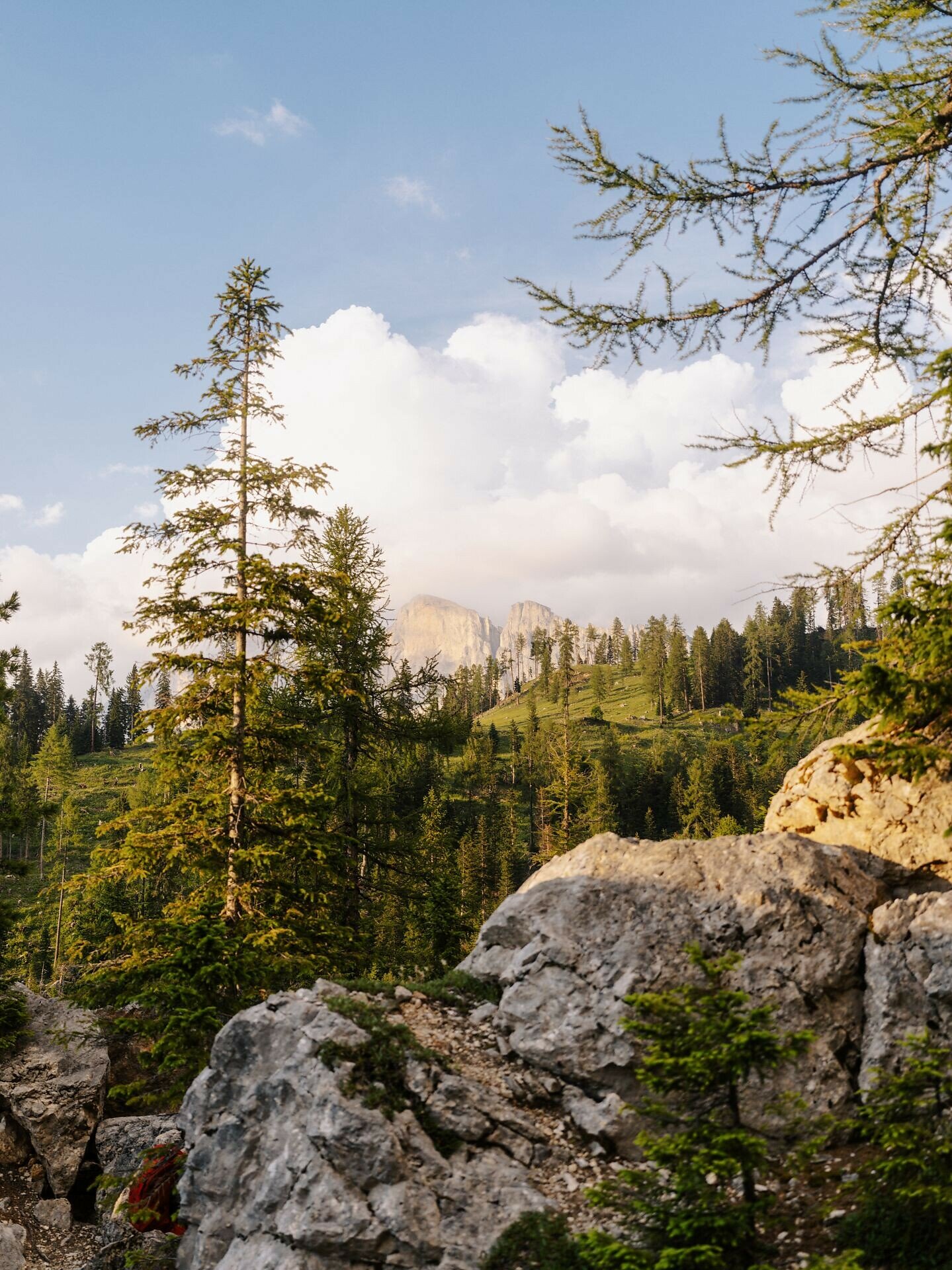
Adventurous Labyrinth path beneath the Latemar: A hike through forest and an impressive sea of rocks with winding paths – an experience for young and old alike.
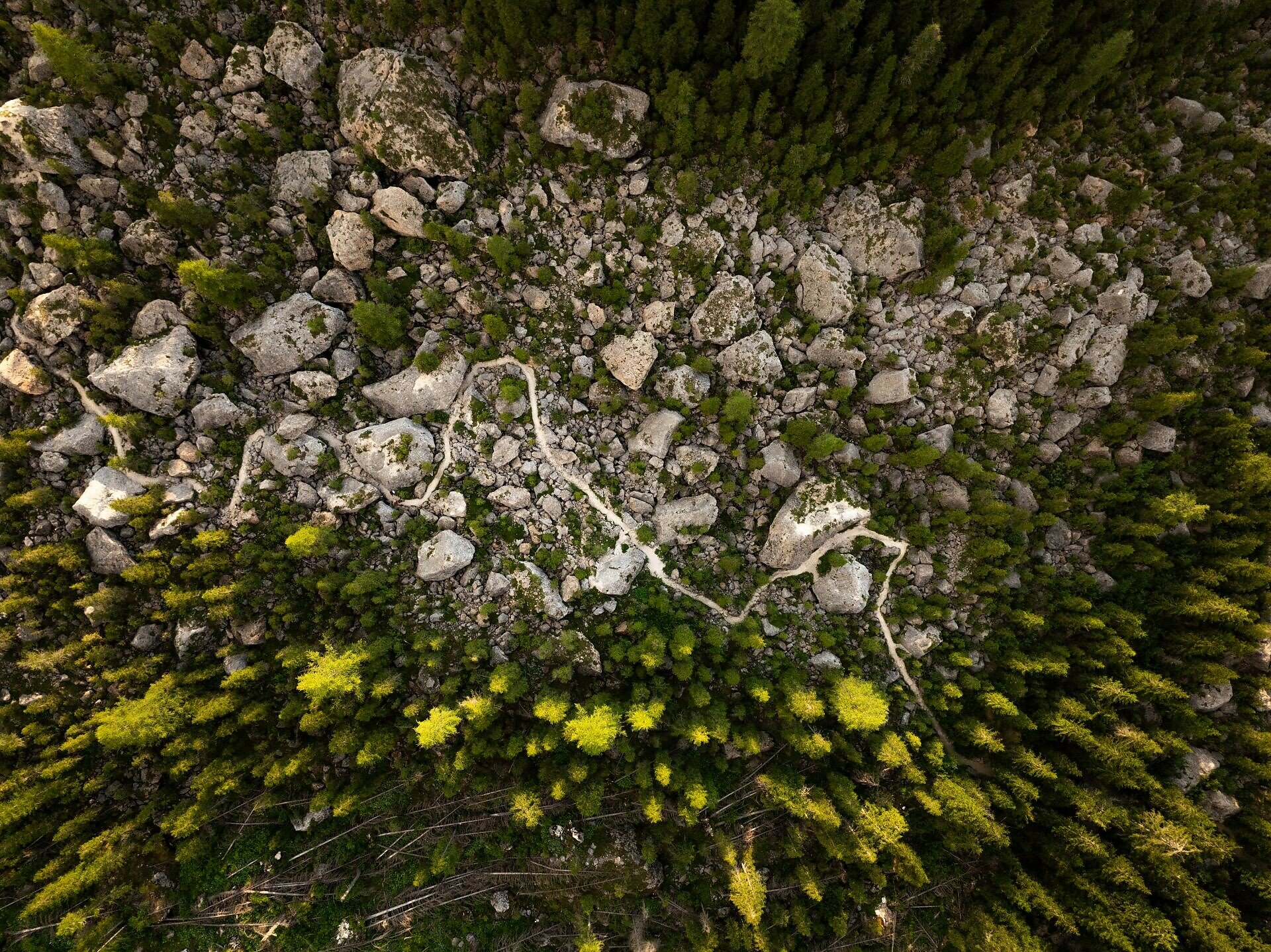
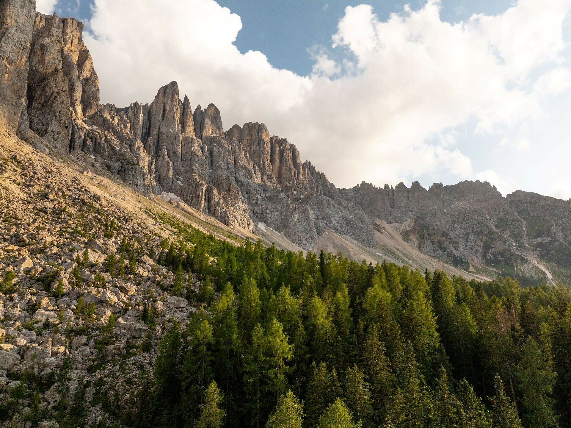
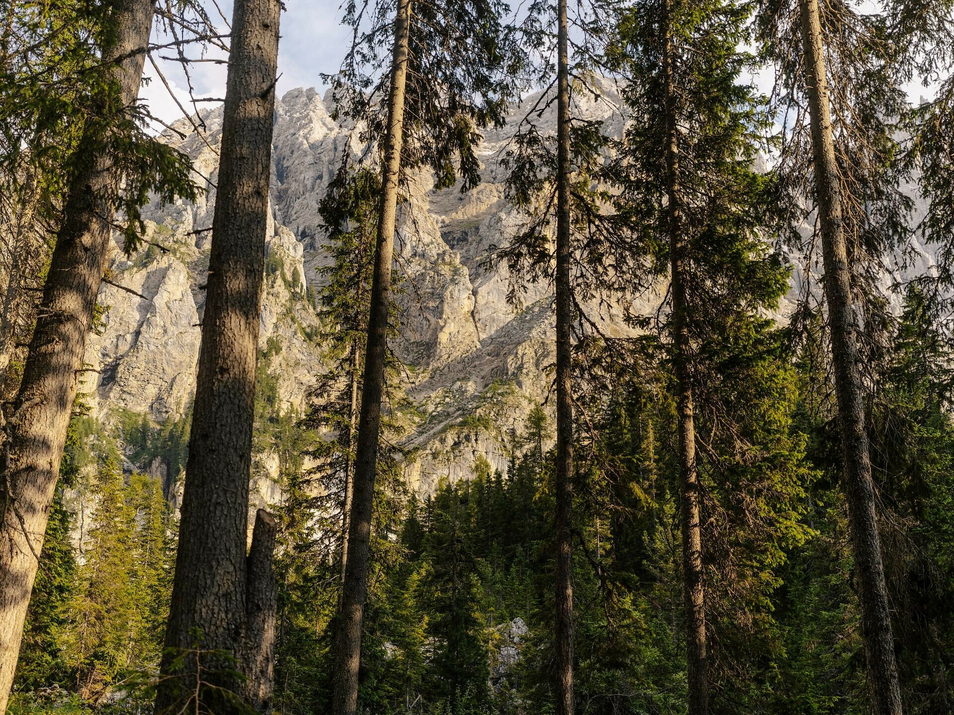
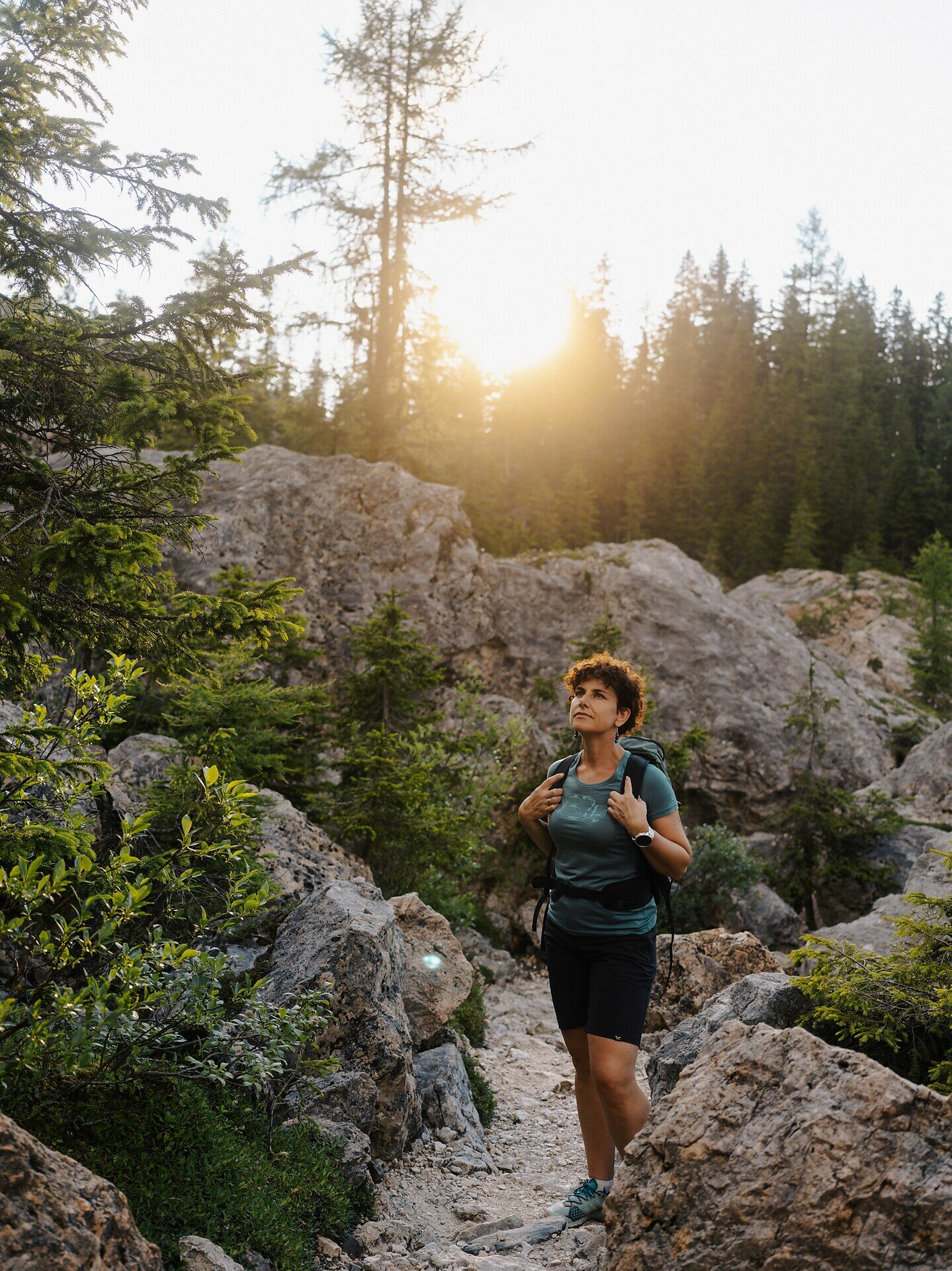
The Labyrinth path runs below the Latemar mountain range, first through forest and then through an impressive sea of rocks, created by several rockfalls. The trail winds over, under, and between the massive, jumbled boulders, offering a varied adventure (in some sections the use of hands is required). Its labyrinth-like course makes this hike a wonderful experience for both young and old.
Gallery
Categories
  • Hiking trail
Tags
  • Round trip
  • Family-friendly
Route info
Intermediate
Distance
10,5 km
Activity time
3 h 10 min
Ascent
349 m
Descent
349 m
Physical effort
Scenary
Highest point
1.906 m
Lowest point
1.610 m
Suggestions
Refreshment stop: Golf. Food & Drinks at the Paolina parking lot - Opening hours and closing day: https://eggental.com/en/info/golf-food-drinks_10392
You might be interested in
Discover related tours
Welschnofen
Circuit de Kaiserstein
Distance 17,9 km
Activity time 1 h 45 min
Ascent 113 m
Descent 256 m
Status
open
Welschnofen
Du parking de Kaiserstein au refuge Masarè
Distance 1,5 km
Activity time 40 min
Ascent 189 m
Descent 0 m
Status
open
Intermediate
Add to favourites
Karersee, Welschnofen
Circuit de randonnée partant du col du Karer, menant au labyrinthe rocheux et au cinéma de montagne du Latemar
Distance 8,6 km
Activity time 2 h 55 min
Ascent 381 m
Descent 360 m
Status
open
Karersee, Welschnofen
Du col de Karer au lac de Karer
Distance 4,4 km
Activity time 1 h 05 min
Ascent 18 m
Descent 225 m
Status
open
Welschnofen
Randonnée en famille depuis le Jolanda jusqu'au refuge Messnerjoch
Distance 4,0 km
Activity time 1 h 11 min
Ascent 152 m
Descent 152 m
Status
open
Steinegg
Randonnée hivernale jusqu'à l'observatoire de Gummer
Distance 4,9 km
Activity time 1 h 16 min
Ascent 57 m
Descent 57 m
Status
open
© Gabriel Eisath
Neu
Der offizielle WhatsApp-Kanal von Eggental Tourismus!
Abonniere unseren Kanal

Verpasse keine Neuigkeiten mehr! Folge unserem neuen WhatsApp-Kanal und erhalte aktuelle News, Veranstaltungstipps und besondere Highlights aus dem Eggental direkt auf dein Handy.

Wir freuen uns auf dich!