Top

Randonnée familiale du col de Karer jusqu’au Mitterleger et aux prairies du Latemar

Karersee, Welschnofen
Add to favourites
Difficulty
Intermediate
Activity time
2:32
Duration in hours
Distance
8.3
Distance in km
Status
closed
Suggested period
Jan
Feb
Mar
Apr
May
Jun
Jul
Aug
Sep
Oct
Nov
Dec
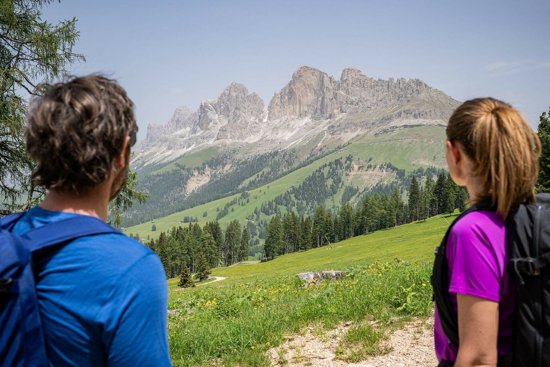
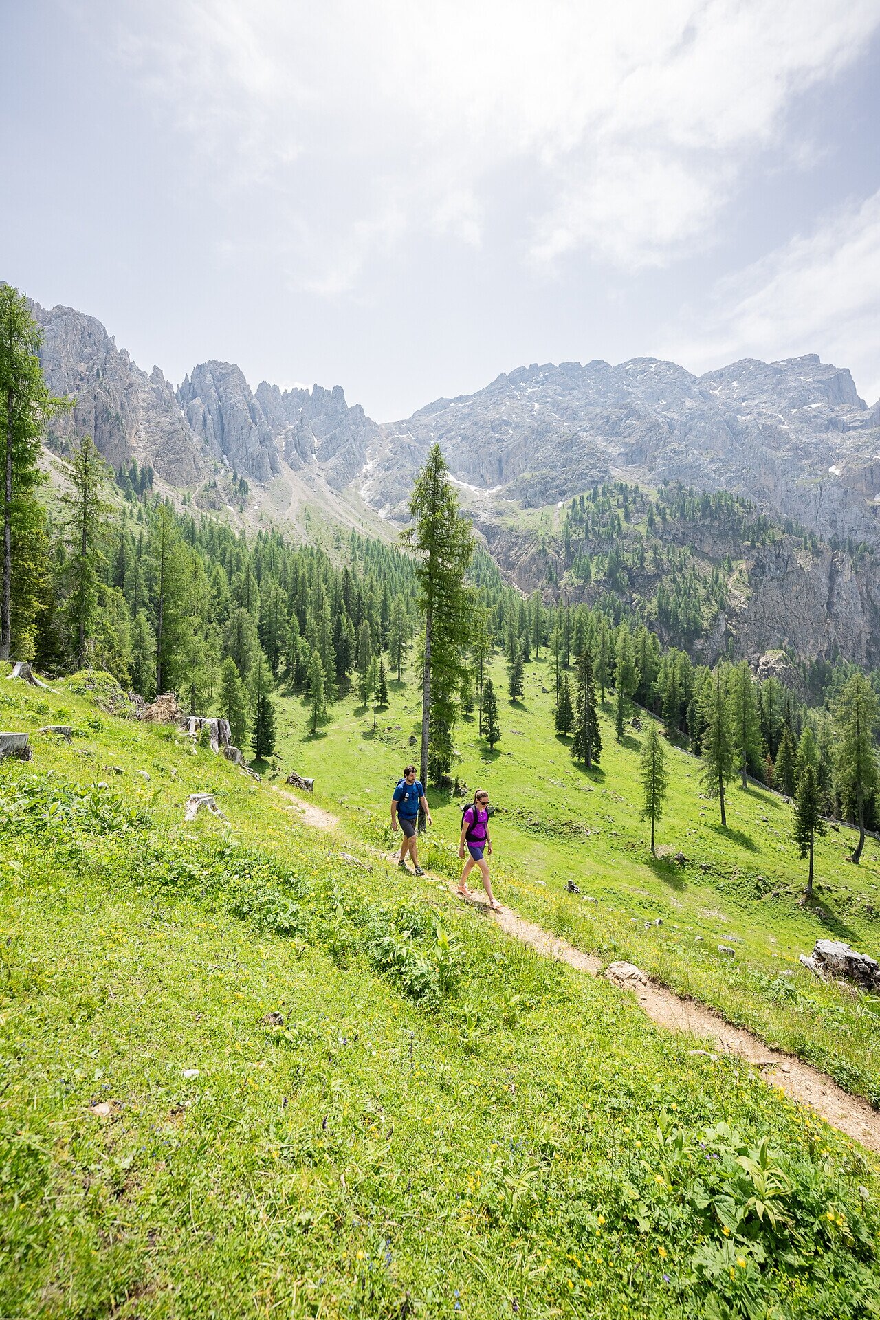
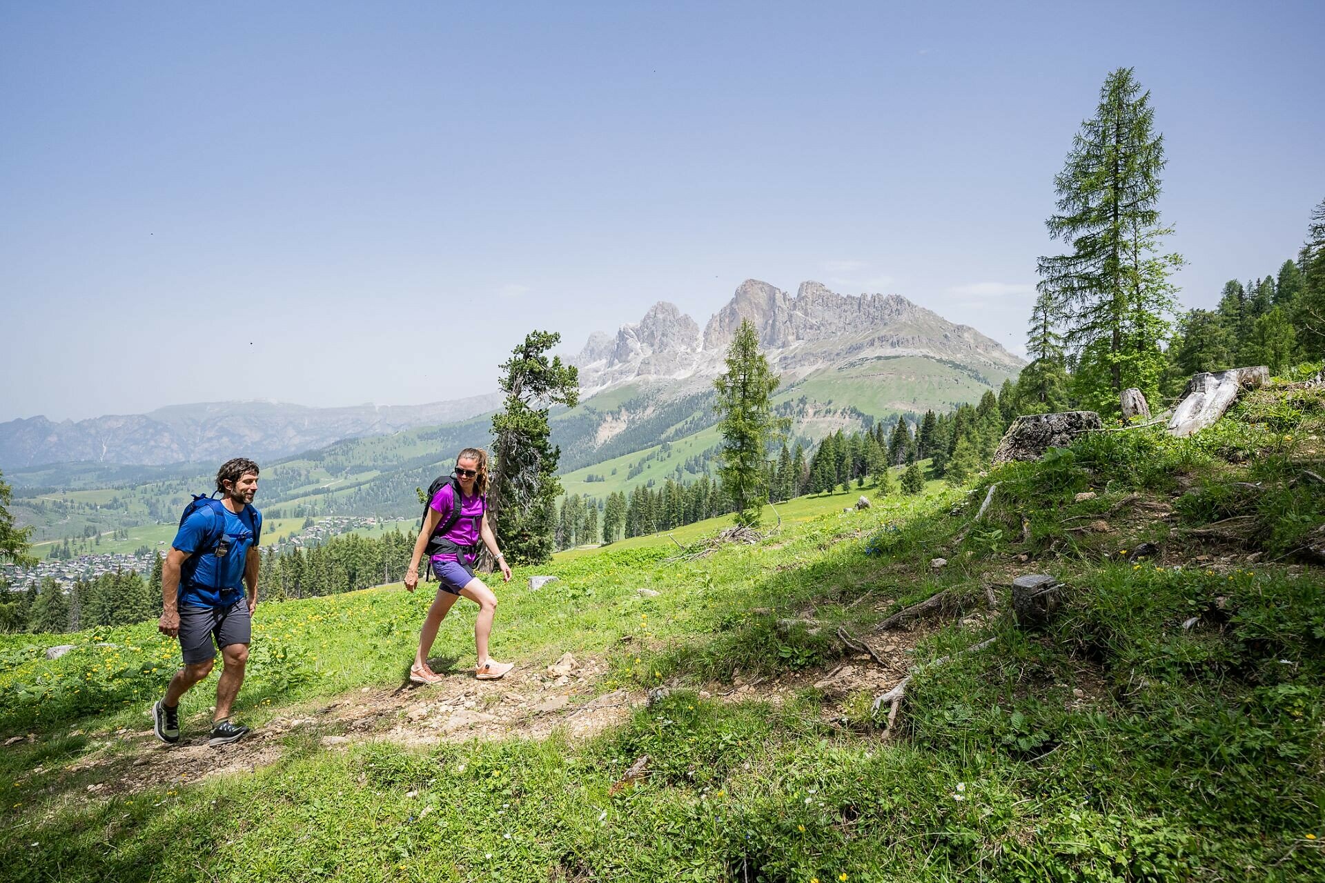
Wonderful hike through the Latemar forest with breathtaking views of the Rosengarten and Latemar.
This hike leads along the foot of the Latemar through the famous Latemar forest, known for its rich variety of valuable coniferous trees. Particularly sought-after is the so-called "tonewood," which, thanks to its special acoustic properties, is used in the construction of musical instruments. The Mitterleger | Radura di Mezzo forest glade is a perfect spot to take a relaxing break, while the Eggental | Val d'Ega mountain cinema on the Latemar meadows offers a stunning panoramic view of the Rosengarten | Catinaccio and the Rotwand | Roda di Vael peak.
Tags
  • Round trip
  • Family-friendly
Route info
Intermediate
Distance
8,3 km
Activity time
2 h 32 min
Ascent
383 m
Descent
383 m
Physical effort
Scenary
Highest point
1.950 m
Lowest point
1.742 m
Suggestions
Refreshment stops:
You might be interested in
Discover related tours
Welschnofen
Frin - Kaiserstein Tour
Distance 17,2 km
Activity time 3 h 30 min
Ascent 329 m
Descent 329 m
Status
closed
Intermediate
Add to favourites
Welschnofen
De Welschnofen au lac de Carezza
Distance 10,1 km
Activity time 3 h 09 min
Ascent 515 m
Descent 515 m
Status
closed
Welschnofen
Long parcours autour du lac de Karer
Distance 3,8 km
Activity time 1 h 04 min
Ascent 98 m
Descent 102 m
Status
closed
Deutschnofen
Randonnée de Deutschnofen au lieu de pèlerinage de Maria Weißenstein
Distance 11,8 km
Activity time 3 h 50 min
Ascent 475 m
Descent 475 m
Karersee
Randonnée familiale du refuge Paolina au refuge Rotwand puis au refuge Pederiva
Distance 3,9 km
Activity time 1 h 13 min
Ascent 208 m
Descent 208 m
Status
closed
Deutschnofen
LATEMAR.RELAX : randonnée familiale sur le chemin de l'Escargot
Distance 5,6 km
Activity time 2 h 00 min
Ascent 329 m
Descent 329 m
Status
closed