- Suitable for strollers
- Accessibility
- Family-friendly
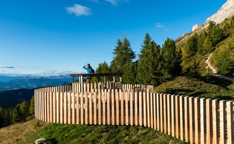
The family-friendly hike on the Almenweg in Obereggen starts at the upper parking lot at 1,550 meters. The paved trail [9] leads past several charming alpine farms: Epircher Laner Alm, Weigler Schupf, Reiterjoch, Ganischger Alm, and Zischg Alm. An optional variant follows trail [23] to Mayrl Alm, from where you return on the same route.
With a duration of about 4 hours and an elevation gain of 500 meters, the hike is suitable for families and anyone looking for a leisurely nature walk. Along the way, numerous rest stops such as Platzl Mountain Lounge/Loox, Mayrl Alm, Epircher Laner Alm, Ganischger Alm, and Zischg Alm invite you to relax and enjoy local specialties.
The route features stunning views of the surrounding mountains and diverse landscapes that will captivate both children and adults.
Getting to the starting point of the tour by public transport is easy and convenient.
By public bus line:
- 180 and 184 from Bozen | Bolzano
- 180 and 184 from Karersee | Lago di Carezza, Karerpass | Passo Costalunga, Welschnofen | Nova Levante
- 184 from Birchabruck | Ponte Nova, Stenk, Eggen | Ega
- 184 from Weissenstein | Pietralba, Petersberg | Monte San Pietro, Deutschnofen | Nova Pontente
- 182 and 184 from Steinegg | Collepietra, Gummer | San Valentino
- 180 and 184 from Val di Fassa
Bus stop: Obereggen; online timetable search at www.suedtirolmobil.info/en/
By car:
Destination: Obereggen
Parking: Hikers' parking lot Obereggen
Meeting point: upper parking lot Obereggen: https://goo.gl/maps/NgkkXrypW2ZJXMvb9
Meeting point: upper parking lot Obereggen: https://goo.gl/maps/NgkkXrypW2ZJXMvb9


