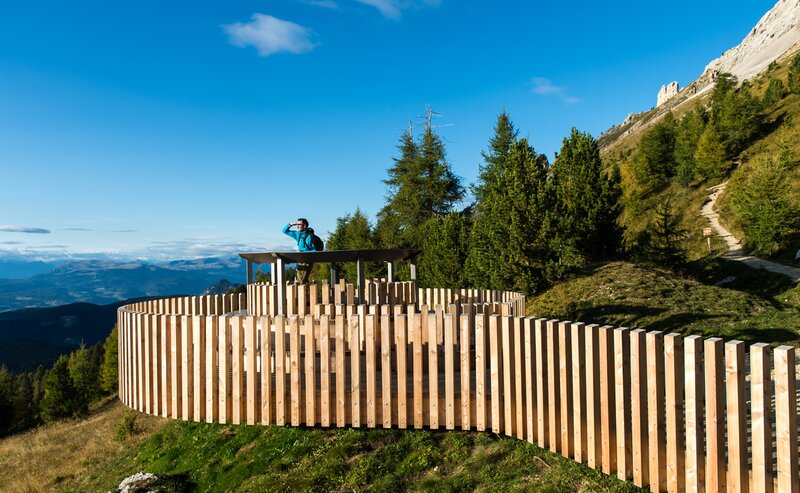
This Hike & Bike adventure offers a unique blend of active exploration, natural beauty, and cultural depth. The journey begins in Obereggen with a scenic e-bike ride through quiet forests, alpine meadows, and gently rolling hills, all framed by the majestic peaks of the Dolomites.
After reaching a peaceful mountain village, the tour continues on foot along a tranquil pilgrimage path. Surrounded by serene landscapes, hikers make their way to Maria Weissenstein – the most significant pilgrimage site in South Tyrol. The baroque monastery, with its chapel and votive corridor, invites reflection and offers a deep sense of history and peace.
Perfect for nature lovers, culture seekers, and those looking for a meaningful day in the mountains.
- Linear route
The tour starts in Obereggen, where you can rent an e-bike. You ride along peaceful forest paths and gentle slopes toward Rauth. Shortly after Rauth, turn onto forest trail [8], which leads through scenic woodland all the way to Deutschnofen. After about 1 hour and 15 minutes, you reach the village, where you can return your e-bike.
From there, continue on foot along the [E5] pilgrimage trail toward Maria Weissenstein. The well-marked trail leads through quiet forests and open meadows with beautiful views. After approximately 1 hour and 45 minutes, you reach the Maria Weissenstein monastery, South Tyrol’s most important pilgrimage site. Don’t miss the chapel and the corridor of votive offerings.
For the return trip, simply take a local bus (no. 181–184) back to Deutschnofen and Obereggen.
Getting to the starting point of the tour by public transport is easy and convenient.
By public bus line:
- 180 and change 184 from Bozen | Bolzano
- 180 or 184 from Karersee | Lago di Carezza, Karerpass | Passo Costalunga, Welschnofen | Nova Levante
- 184 from Birchabruck | Ponte Nova, Stenk, Eggen | Ega
- 184 or 181 from Weissenstein | Pietralba, Petersberg | Monte San Pietro, Deutschnofen | Nova Pontente
- 182 and change 184 from Steinegg | Collepietra, Gummer | San Valentino
- 180 and change 184 from Val di Fassa
Bus stop: Obereggen; online timetable search at www.suedtirolmobil.info/en/
By car:
Destination: Obereggen
Parking: Hikers' parking lot Obereggen
Meeting point: upper parking lot Obereggen: https://goo.gl/maps/NgkkXrypW2ZJXMvb9
Parking: Hikers' parking lot Obereggen
Meeting point: upper parking lot Obereggen: https://goo.gl/maps/NgkkXrypW2ZJXMvb9


