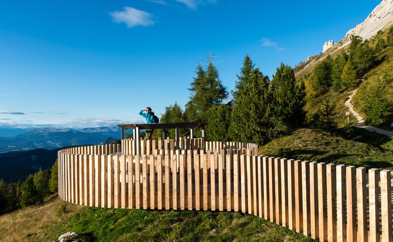
This hike combines impressive natural experiences with a touch of history and urban flair. From the idyllic village of Deutschnofen, the path leads through quiet forests and over scenic uplands, passing impressive viewpoints such as Rotenstein and Rotwand. The wide views of the Dolomites and the South Tyrolean Lowlands accompany the hikers to the charming village of Kohlern.
There awaits a special highlight: with the oldest cable car in the world, you float down to Bolzano in just a few minutes. The historic ride offers not only a great view but also a piece of South Tyrolean technical history. Once in the state capital, the old town with its arcades, cafés, and shops invites you for a short city stroll. Those who want to end the adventure in a relaxing way can simply take the regular bus back to Deutschnofen. A perfect combination of nature, views, culture and history – for all those who like to be varied on their way.
The hike starts in the village center of Deutschnofen (1,357 m). From the church square, follow the path [E5] southwards. The trail leads through shady forests and over scenic mid-mountain heights with beautiful views of the Eggental valley and the South Tyrolean Lowlands.
After about an hour you reach the viewpoint Rotenstein (approx. 1,440 m), shortly followed by Rotwand, another nice resting spot with panoramic views of the Etsch valley.
From here continue gently descending through mixed forest to Kohlern (1,130 m), a quiet mountain village above Bolzano. The special attraction here is the oldest cable car in the world (built in 1908), which comfortably floats you in a few minutes down to the center of Bolzano (approx. 260 m).
Once arrived, a short city stroll is recommended – for example through the arcades or the Walther square. The return trip to Deutschnofen is easily done by regular bus (SAD).
The starting point of the route is easily and conveniently accessible by public transport.
By public bus line:
- 181 from Bolzano,
- 180 or 184 from Karersee, Karer Pass, Welschnofen
- 184 or 181 from Birchabruck
- 184 from Stenk, Eggen, Obereggen
- 184 or 181 from Weissenstein, Petersberg
- 182 from Steinegg, Gummer
- 180 from Fassatal
Stop: Deutschnofen Church; online schedule search on Südtirol Mobil: www.suedtirolmobil.info
Meeting point: Gibitzplatz Deutschnofen: https://goo.gl/maps/TVxPt1piw5ipkx8b9
By car:
Destination: Deutschnofen
Parking: Gibitz parking lot
Meeting point: Gibitzplatz Deutschnofen: https://goo.gl/maps/TVxPt1piw5ipkx8b9
Parking: Gibitz parking lot
Meeting point: Gibitzplatz Deutschnofen: https://goo.gl/maps/TVxPt1piw5ipkx8b9


