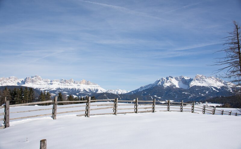
This high-altitude trail at the Rosengarten | Catinaccio runs without significant elevation changes along one of the most panoramic routes in South Tyrol. From the Kölner | Fronza alle Coronelle hut, the stony and partly narrow Hirzel path leads to the Paolina hut and then on to the Christomannos monument. This 2.7-meter-tall bronze eagle commemorates the achievements of Austrian tourism pioneer Theodor Christomannos, who played a key role in the development of tourism in the region.
- Out and back
Refreshment stops:
- Kölner | Fronza alle Coronelle hut - Opening hours and closing day: https://eggental.com/en/info/klner-hut_5240
- Laurins Lounge - Opening hours and closing day: https://eggental.com/en/info/laurins-lounge_5266
- Paolina hut - Opening hours and closing day: https://eggental.com/en/info/paolina-hut_5228
The route starts at the top station of the König Laurin I & II cable cars and follows trails [549] and [552] (the lower Hirzelsteig path) to the Paolina hut, continuing along trail [539] to the Christomannos monument. The return follows the same path. Surefootedness is required in some sections.
Alternative:
From the village of Carezza, take the Paolina chairlift up to the Paolina hut and then follow the route described above in reverse.
Refreshment stops:
- Kölner | Fronza alle Coronelle hut - Opening hours and closing day: https://eggental.com/en/info/klner-hut_5240
- Laurins Lounge - Opening hours and closing day: https://eggental.com/en/info/laurins-lounge_5266
- Paolina hut - Opening hours and closing day: https://eggental.com/en/info/paolina-hut_5228
Getting to the starting point of the tour by public transport is easy and convenient.
By public bus line:
- 180 from Bozen | Bolzano, Birchabruck | Ponte Nova
- 180 from Fassatal | Val di Fassa, Karersee | Carezza, Karerpass | Passo Costalunga
- 184 from Weissenstein | Pietralba, Petersberg | Monte San Pietro, Deutschnofen | Nova Ponente, Stenk (or 181 and change 180)
- 184 from Obereggen, Eggen | Ega (or 184 and change 180)
- 186 from St. Zyprian | S. Cipriano, Nigerpass | Passo Nigra with change 180
- 187 from Steinegg | Collepietra, Gummer | San Valentino (or 182 and change 180)
Bus stop: Welschnofen Zentrum | Nova Levante centro (centre) + ascent with the cable car; online timetable search at www.suedtirolmobil.info/en/
By car:
Destination: Welschnofen | Nova Levante
Parking: Parking lor cable car Laurin I + ascent with the cable car
Parking: parking lot cable car Welschnofen | Nova Levante Laurin I, https://maps.app.goo.gl/sArFu4rWe1AirKsZ7
Ascent with the cable car.


