Top

Via le Hirzelsteig jusqu'au monument de Christomannos

Karersee, Welschnofen
Add to favourites
Difficulty
Intermediate
Activity time
2:38
Duration in hours
Distance
8.6
Distance in km
Status
closed
Suggested period
Jan
Feb
Mar
Apr
May
Jun
Jul
Aug
Sep
Oct
Nov
Dec
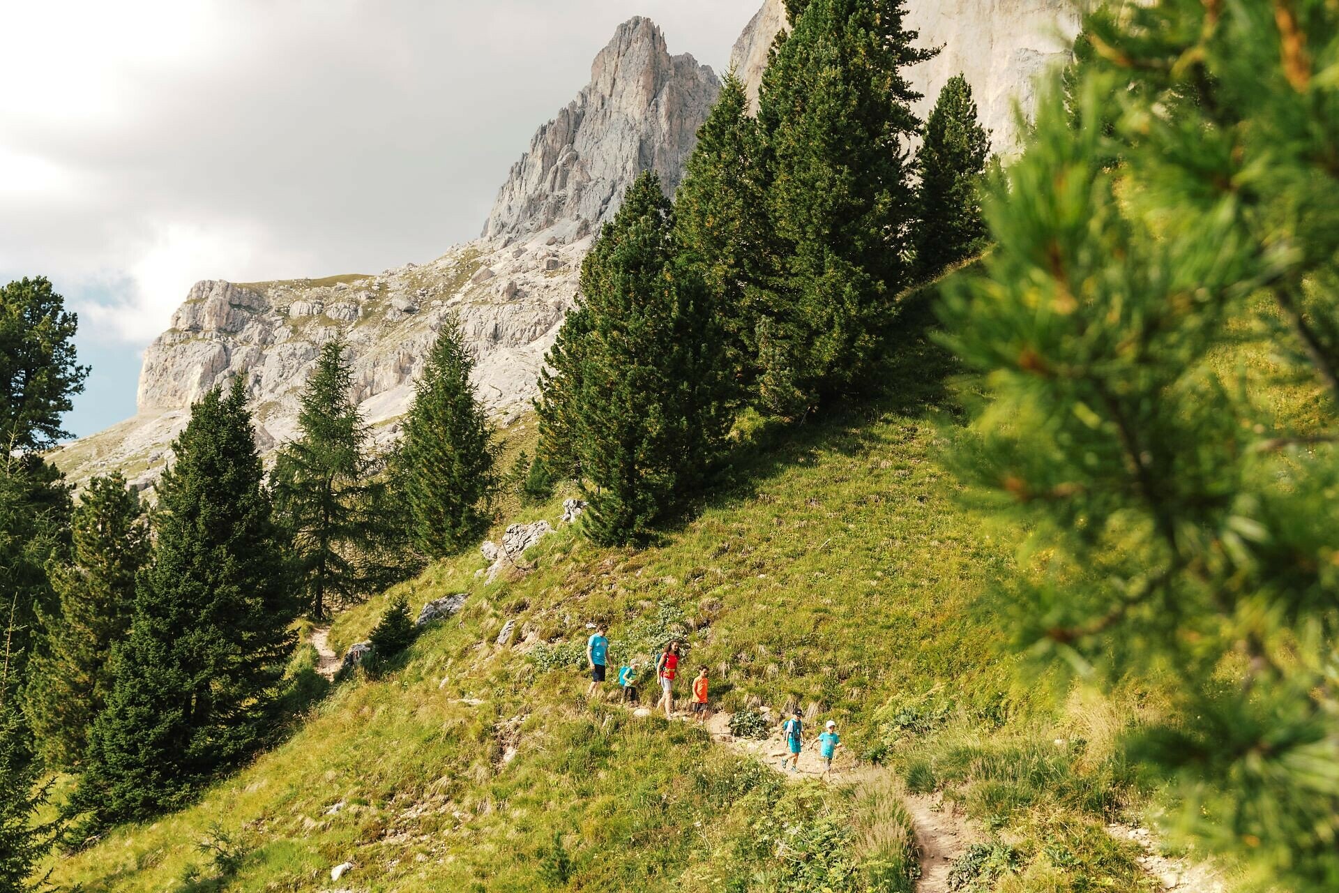
Beautiful high-altitude trail at the Rosengarten, leading from the Kölner hut to the Paolina hut and to the Christomannos monument.

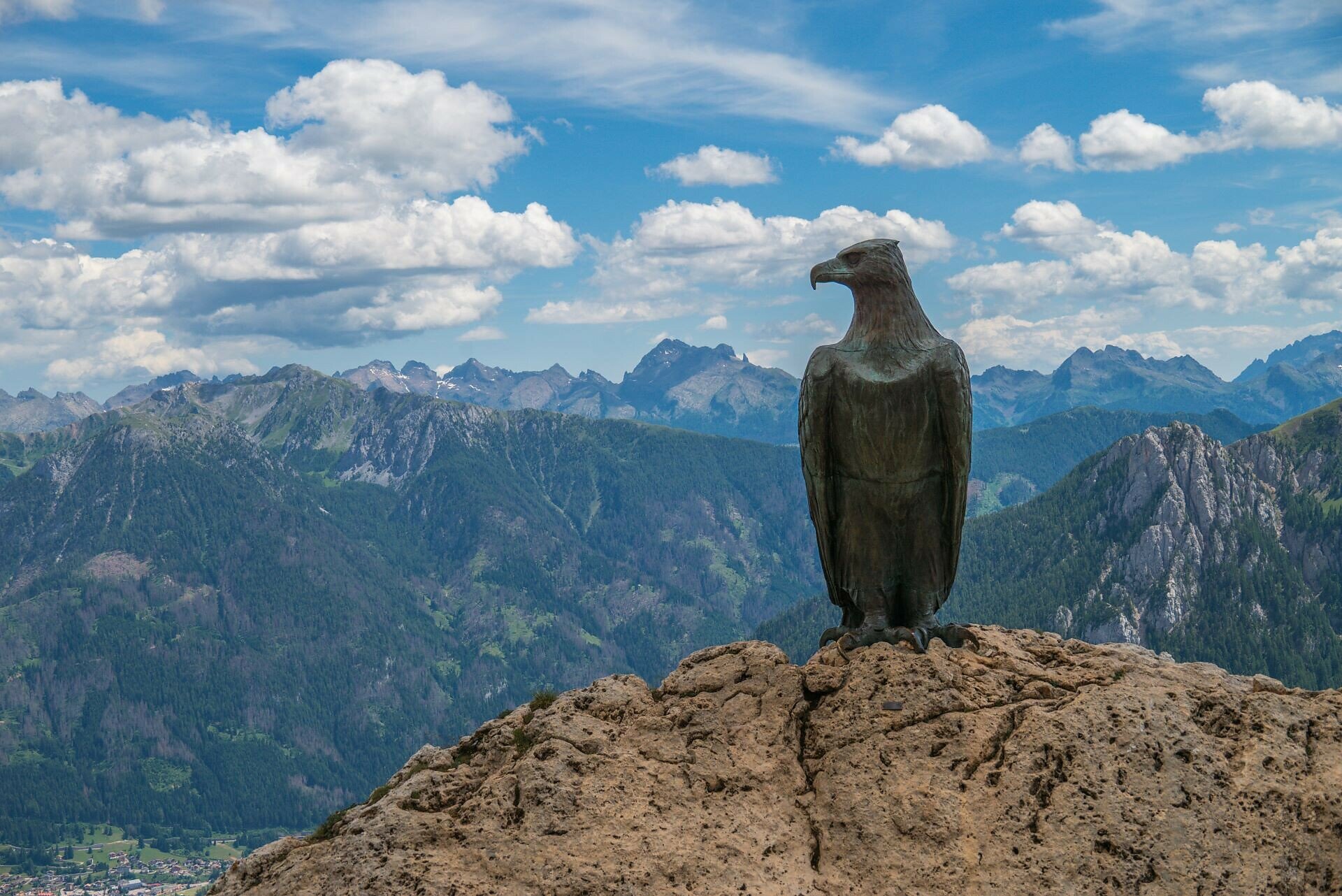
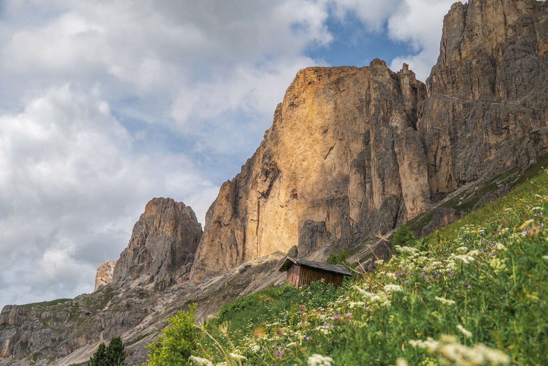
This high-altitude trail at the Rosengarten | Catinaccio runs without significant elevation changes along one of the most panoramic routes in South Tyrol. From the Kölner | Fronza alle Coronelle hut, the stony and partly narrow Hirzel path leads to the Paolina hut and then on to the Christomannos monument. This 2.7-meter-tall bronze eagle commemorates the achievements of Austrian tourism pioneer Theodor Christomannos, who played a key role in the development of tourism in the region.

Tags
  • Out and back
Route info
Intermediate
Distance
8,6 km
Activity time
2 h 38 min
Ascent
399 m
Descent
399 m
Physical effort
Scenary
Highest point
2.330 m
Lowest point
2.120 m
Suggestions

Refreshment stops:

You might be interested in
Discover related tours
Welschnofen
Sissi Tour
Distance 11,1 km
Activity time 3 h 11 min
Ascent 215 m
Descent 215 m
Status
closed
Intermediate
Add to favourites
Steinegg
Randonnée circulaire sur le Rittersteig de Steinegg au Wiedenhof
Distance 10,4 km
Activity time 3 h 45 min
Ascent 604 m
Descent 601 m
Status
open
Intermediate
Add to favourites
Karersee, Welschnofen
From Welschnofen | Nova Levante to the Messnerjoch hut
Distance 15,9 km
Activity time 4 h 55 min
Ascent 764 m
Descent 739 m
Status
closed
Deutschnofen
Randonnée familiale aux fermes originelles d'Eggner dans le Städtl
Distance 1,9 km
Activity time 30 min
Ascent 51 m
Descent 50 m
Status
open
Welschnofen
Randonnée Frin - Kaiserstein
Distance 17,2 km
Activity time 3 h 30 min
Ascent 329 m
Descent 329 m
Status
closed
Intermediate
Add to favourites
Welschnofen
Randonnée circulaire de Welschnofen au monument Elisabeth
Distance 7,9 km
Activity time 2 h 33 min
Ascent 467 m
Descent 457 m
Status
closed