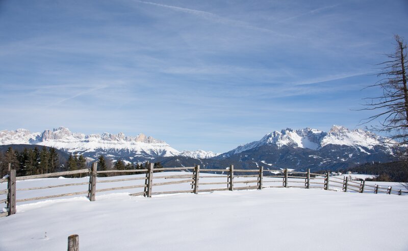
The Latemar.Panorama hike offers an unforgettable experience for anyone wanting to connect with the mountains in their purest form. Surrounded by the dramatic Latemar peaks, this scenic trail leads you through stunning alpine landscapes, peaceful mountain moments, and inviting traditional huts. Along the way, spectacular viewpoints open up to reveal the majesty of the Dolomites, while cozy stops provide the chance to enjoy regional flavors and recharge. Whether you're a family, a couple, or a solo explorer seeking tranquility and breathtaking scenery – this hike promises lasting impressions and true mountain serenity.
- Round trip
- Family-friendly
The hike begins at the mountain station of the Oberholz panoramic chairlift. From there, follow trail [18] to the stunning viewing platform Latemar.360°, where a short break is highly recommended to take in the breathtaking views of the surrounding Dolomite peaks.
Continue on trail [22] to Passo Feudo, another scenic highlight located directly beneath the dramatic Latemar cliffs.
The return journey leads across the alpine meadows of Reiterjoch along trail [504/505], passing the Zischg Alm and Ganischger Alm.
Then follow trail [9] to the Weigler Schupf, and finally take trail [23], passing the Mayrl Alm, back to the starting point at the Oberholz mountain station.
Getting to the starting point of the tour by public transport is easy and convenient.
By public bus line:
- 180 and 184 from Bozen | Bolzano
- 180 and 184 from Karersee | Lago di Carezza, Karerpass | Passo Costalunga, Welschnofen | Nova Levante
- 184 from Birchabruck | Ponte Nova, Stenk, Eggen | Ega
- 184 from Weissenstein | Pietralba, Petersberg |Monte San Pietro, Deutschnofen | Nova Ponente
- 182 and 184 from Steinegg | Collepietra, Gummer | San Valentino
- 180 and 184 from Val di Fassa
Bus stop: Obereggen; online timetable search at www.suedtirolmobil.info/en/
Getting to the starting point of the tour by public transport is easy and convenient.
By public bus line:
- 180 from Bozen | Bolzano
- 180 or 184 from Karersee | Lago di Carezza, Karerpass | Passo Costalunga, Welschnofen | Nova Levante
- 184 from Birchabruck | Ponte Nova, Stenk, Eggen | Ega
- 184 from Weissenstein | Pietralba, Petersberg |Monte San Pietro, Deutschnofen | Nova Ponente
- 182 from Steinegg | Collepietra, Gummer | San Valentino
- 180 from Val di Fassa
Bus stop: Obereggen; online timetable search at www.suedtirolmobil.info/en/
Meeting point: valley station Obereggen: https://goo.gl/maps/TmQLBAvhDtbhWoHV6
By car:
Destination: Obereggen
Parking: Parking lot Obereggen
Meeting point: Obereggen: https://goo.gl/maps/TmQLBAvhDtbhWoHV6
Parking: Parking lot Obereggen
Meeting point: Obereggen: https://goo.gl/maps/TmQLBAvhDtbhWoHV6


