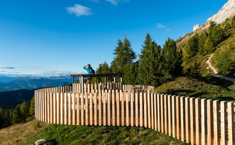
The first stage of the multi-day tour leads from Nova Levante to the sentiero Masarè/Hirzelsteig trail to the first night quarter, the Rif. Roda di Vael.
Starting point of the multi-day tour is the car parking at the cable car Nova Levante (1.156 m). Following the path [3A] to the Hotel Rechenmachers Rosengarten and on the path [15] to the junction path [16B], which leads to the Malga Heinzen Alm (1.680 m).
The path [16] leads through the prati di Colbleggio to the car parking Jolanda. We cross the strada Nigra and turn left in front of the Ristoro Jolanda (path [16] and path [1]) in direction to the Rif. Coronelle (2.339 m).
Via sentiero Masarè– path [549] – the path leads along the wall of the western Catinaccio group. Bellow the Vetta del Duca di Pistoia, the path divides and there is the possibility to either take path [552] to the Paolina hut (2.125 m, overnight accommodation) or to stay on the trail [549]. This is slightly more exposed, but very well secured (caution on wet ground). The two paths cross again at the Christomannos Monument (2.349 m).
After 2 km, the trail leads us to the Rif. Roda di Vael (2.283 m) e Baita M. Pederiva (2.275 m), the first overnight accommodation with magnificent views around the surrounding mountains.
Alternative: Start in Nova Levante with the cable car up to the Malga Frommer (1.743 m) and ascent to the Rif. Coronelle via path [15] and path n. [1].
Starting place: car parking cable car, Nova Levante, 1.160 m
Overnight accommodation: rifugio Roda di Vael, 2.283 m, Ph. +39 0462 764450/ +39 335 6750325
The highest point: rifugio Fronza alle Coronelle, 2.339 m
Restaurants/huts: malga Heinzen, rifugio Fronza alle Coronelle, rifugio Paolina, rifugio Roda di Vael.
Getting to the starting point of the tour by public transport is easy and convenient.
By public bus line:
- 180 from Bozen | Bolzano, Birchabruck | Ponte Nova
- 180 or 184 from Karersee | Carezza, Karerpass | Passo Costalunga
- 184 from Weissenstein | Pietralba, Petersberg | Monte San Pietro, Deutschnofen | Nova Ponente, Stenk (or 181 and change 180)
- 184 from Obereggen, Eggen | Ega (or 184 and change 180)
- 187 from Steinegg | Collepietra, Gummer | San Valentino (or 182 and change 180)
- 180 from Val di Fassa
Bus stop: Welschnofen | Nova Levante centre (Despar); online timetable search at www.suedtirolmobil.info/en
Getting to the starting point of the tour by public transport is easy and convenient.
By public bus line:
- 180 from Bozen | Bolzano, Birchabruck | Ponte Nova
- 180 or 184 from Karersee | Carezza, Karerpass | Passo Costalunga
- 184 from Weissenstein | Pietralba, Petersberg | Monte San Pietro, Deutschnofen | Nova Ponente, Stenk (or 181 and change 180)
- 184 from Obereggen, Eggen | Ega (or 184 and change 180)
- 187 from Steinegg | Collepietra, Gummer | San Valentino (or 182 and change 180)
- 180 from Val di Fassa
Bus stop: Welschnofen | Nova Levante centre (Despar); online timetable search at www.suedtirolmobil.info/en/
By car:
Destination: Welschnofen | Nova Levante
Parking: Parking lot cable car
Parking: parking lot cable car Welschnofen | Nova Levante Laurin I,


