Top

Parcours découverte « Kirchsteig »

Deutschnofen
Add to favourites
Difficulty
Intermediate
Activity time
2:55
Duration in hours
Distance
9.5
Distance in km
WSEN
Suggested period
Jan
Feb
Mar
Apr
May
Jun
Jul
Aug
Sep
Oct
Nov
Dec
Experience trail "Kirchsteig" in Deutschnofen with interactive stations about flora, fauna, and history. Ideal for families and nature lovers.

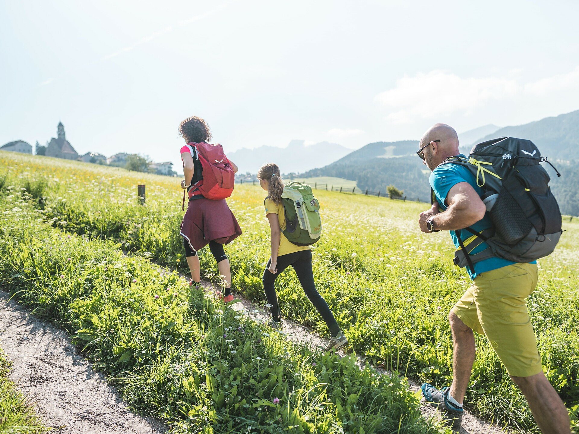
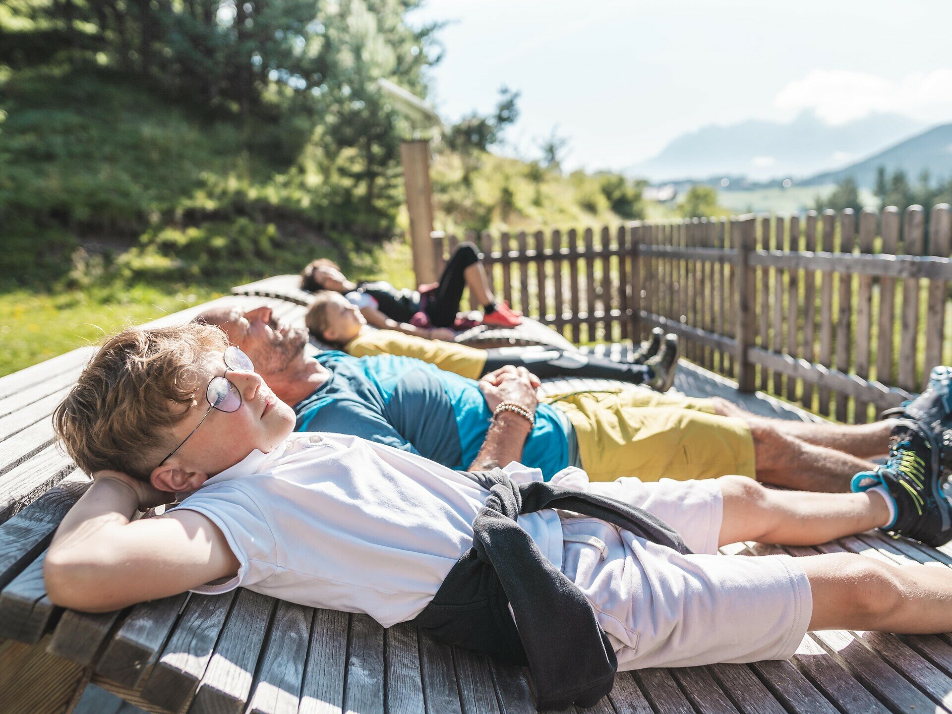
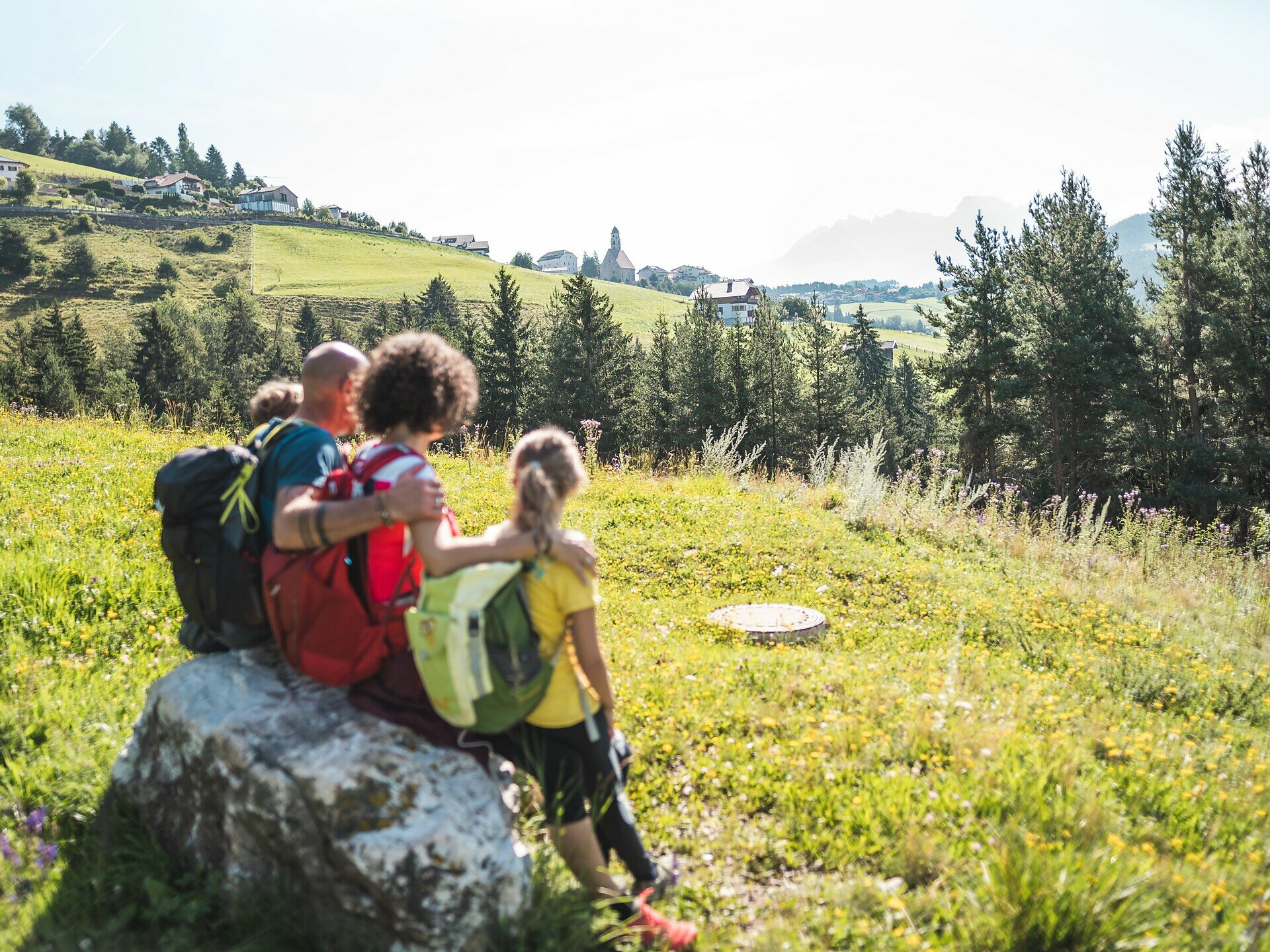
Acquire knowledge about flora, fauna, agriculture, and forestry in a playful way – this is what the new experience trail "Kirchsteig" in Deutschnofen offers. Young and old, locals and guests can look forward to exciting stations such as a listening island, a telescope, a wildlife memory game, and a waterwheel. The versatile designed path conveys individual, site-specific themes in a modern way. Interactive play and puzzle stations delight both children and adults alike. Sensory stations invite conscious listening, understanding, feeling, and smelling – lasting impressions are guaranteed. The "Kirchsteig" opens different perspectives on the municipality of Deutschnofen. Numerous display boards provide information about the diverse flora and fauna as well as geological special features of the region. Thus, the experience trail becomes a special nature experience for young and old.

Not suitable for bicycles and strollers!

Route info
Intermediate
Distance
9,5 km
Activity time
2 h 55 min
Ascent
361 m
Descent
361 m
Physical effort
Scenary
Highest point
1.429 m
Lowest point
1.219 m
Safety guidelines
Not suitable for bicycles and strollers!
Directions

The circular hike starts directly at the village square in Deutschnofen. From there, you go to Gibitzplatz (1357 m) and turn left onto the road towards Wölflhof. After about 200 meters, you leave the road and take the left fork onto the Kirchsteig K. This leads you over beautiful meadows and idyllic farms.

Then follow path [10] to Höggerhof, which you reach after about one hour. The route continues on Kirchsteig K, now path [11B], to Wölflhof. From there, path [E5] leads back to the village center of Deutschnofen.

The entire hike takes about 4 hours and offers a varied mix of nature, agriculture, and culture.

public transportation

The starting point of the route is easily and conveniently accessible by public transport. 

With the public bus line:
- 181 from Bolzano, Petersberg, Weissenstein
- 184 from Obereggen, Eggen
- 182 and change to 181 from Steinegg, Gummer
- 180 and change to 181 from Fassa Valley, Welschnofen, Karersee, Karerpass

Stop Deutschnofen Church; online timetable search at Südtirol Mobil: www.suedtirolmobil.info
Meeting point: https://goo.gl/maps/WpS3M2Ge6rkVCydGA

How to get there

The starting point of the route is easily and conveniently accessible by public transport.

With the public bus line:
- 181 from Bolzano
- 184 from Karersee, Karerpass, Welschnofen
- 184 or 181 from Birchabruck, Stenk
- 184 from Eggen, Obereggen
- 181 or 184 from Weissenstein, Petersberg
- 182 (change to 181 or 184) from Steinegg, Gummer
- 180 (change to 181 or 184) from Fassa Valley
Stop: Deutschnofen, Church; online timetable search at Südtirol Mobil: www.suedtirolmobil.info

By car: 
Destination: Deutschnofen Gibitzplatz
Parking lot: Gibitz parking lot
Meeting point: https://goo.gl/maps/WpS3M2Ge6rkVCydGA

Where to park

Parking lot: Gibitz parking lot
Meeting point: https://goo.gl/maps/WpS3M2Ge6rkVCydGA

You might be interested in
Discover related tours
Intermediate
Add to favourites
Welschnofen
From Welschnofen | Nova Levante to the Stadl Alm farm and Lake Carezza
Distance 16,1 km
Activity time 4 h 51 min
Ascent 655 m
Descent 649 m
Welschnofen
Kaiserstein Tour
Distance 16,8 km
Activity time 1 h 45 min
Ascent 113 m
Descent 256 m
Intermediate
Add to favourites
Karersee, Welschnofen
Randonnée familiale du col de Karer jusqu’au Mitterleger et aux prairies du Latemar
Distance 8,3 km
Activity time 2 h 32 min
Ascent 383 m
Descent 383 m
Steinegg
Winter hike to the observatory in Gummer|San Valentino
Distance 4,8 km
Activity time 1 h 16 min
Ascent 57 m
Descent 57 m
Intermediate
Add to favourites
Karersee, Steinegg
Multi-day Hike - Alpine Pearls - 1. stage
Distance 16,5 km
Activity time 5 h 53 min
Ascent 1.402 m
Descent 658 m
Intermediate
Add to favourites
Deutschnofen
Excursion to the Stone Age settlement of Enzbirch
Distance 12,9 km
Activity time 3 h 50 min
Ascent 397 m
Descent 397 m