Top

Randonnée au Weisshorn

Deutschnofen
Add to favourites
Difficulty
Difficult
Activity time
5:05
Duration in hours
Distance
14.8
Distance in km
Status
closed
WSEN
Categories
  • Hiking trail
Tags
  • Linear route
Suggested period
Jan
Feb
Mar
Apr
May
Jun
Jul
Aug
Sep
Oct
Nov
Dec
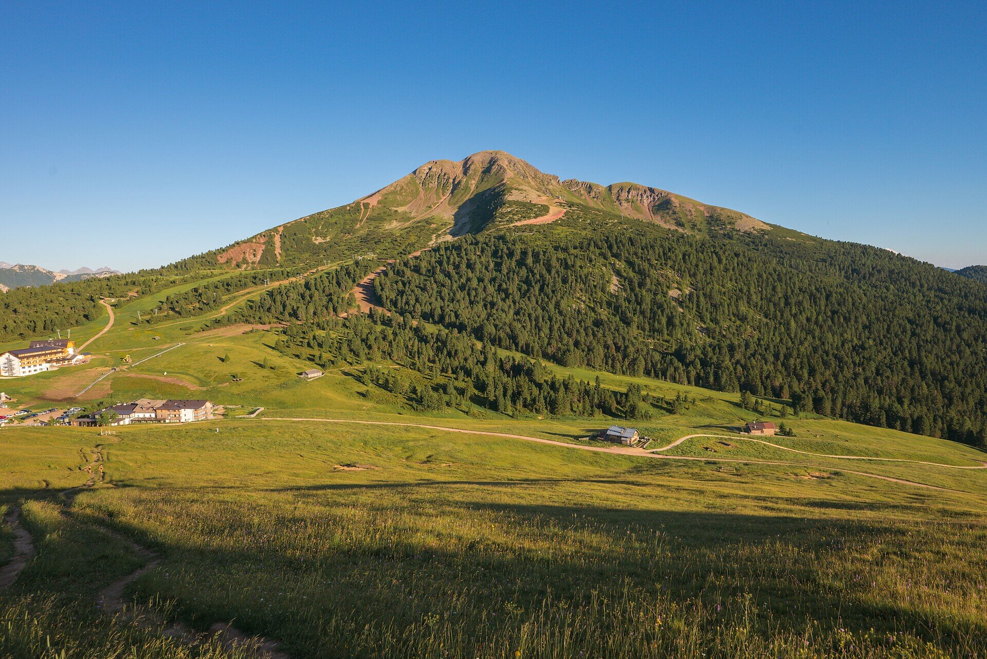
Scenic summit hike from Maria Weissenstein to the Weißhorn – with 360° views, alpine charm and spiritual moments. For active hikers and mountain lovers.

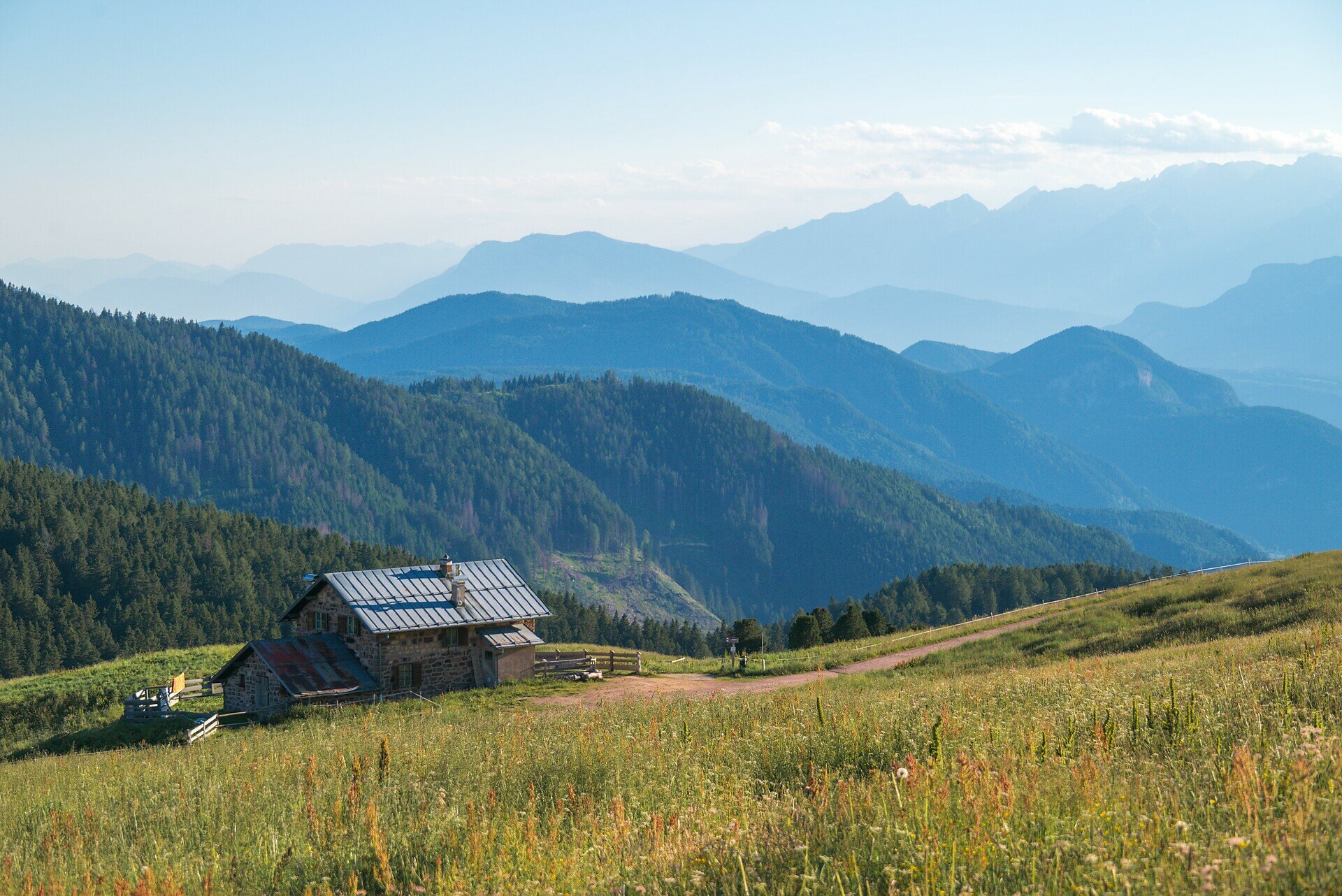
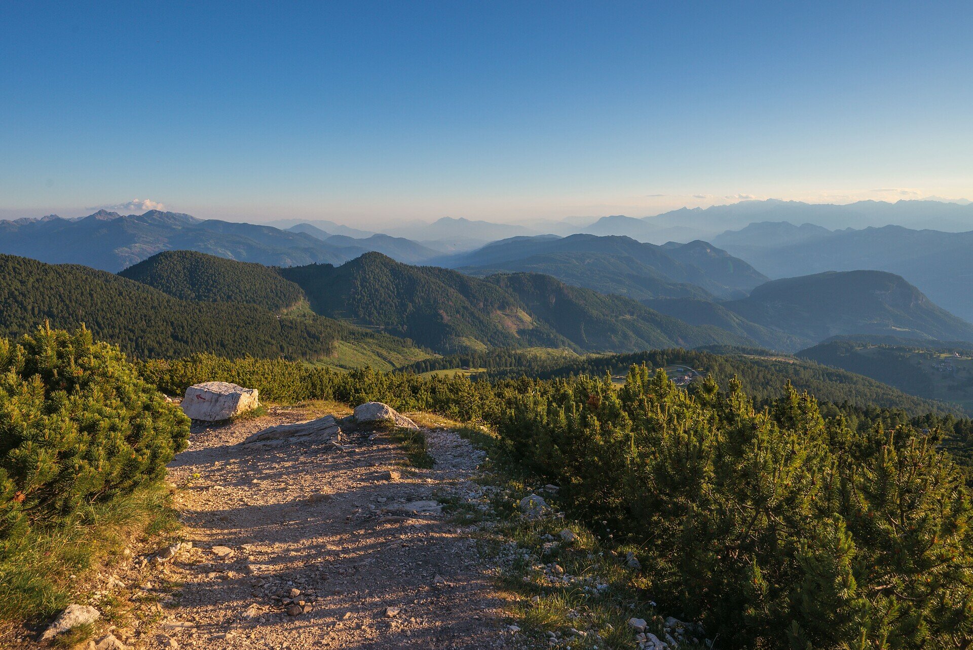
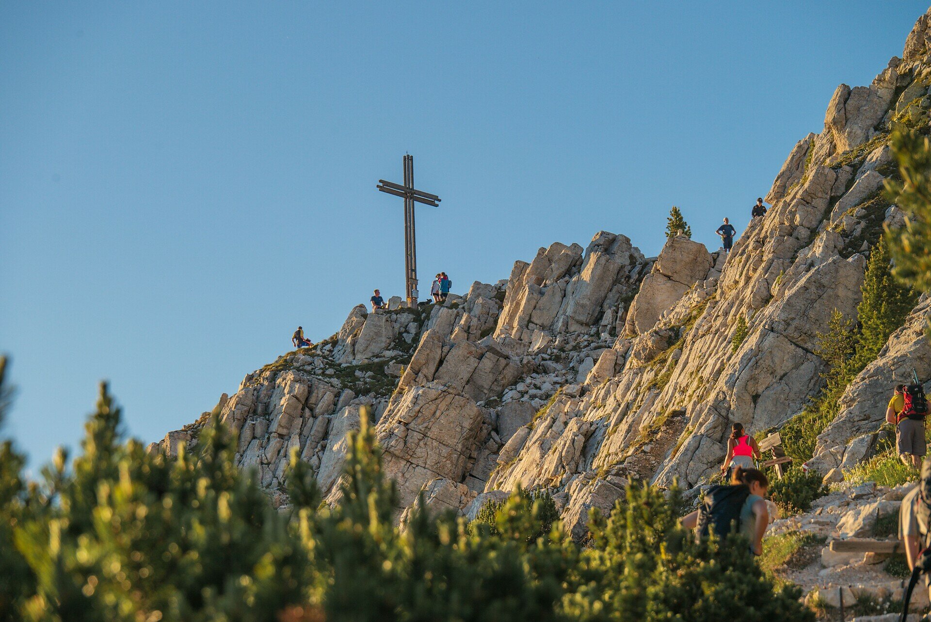
Reaching the summit of the Weißhorn is more than just a hike – it’s an experience that touches body, mind, and soul. Starting at the peaceful Maria Weissenstein sanctuary, the trail leads through the serene Kösertal valley, past alpine pastures and pine scrub, and into rugged high-mountain terrain.
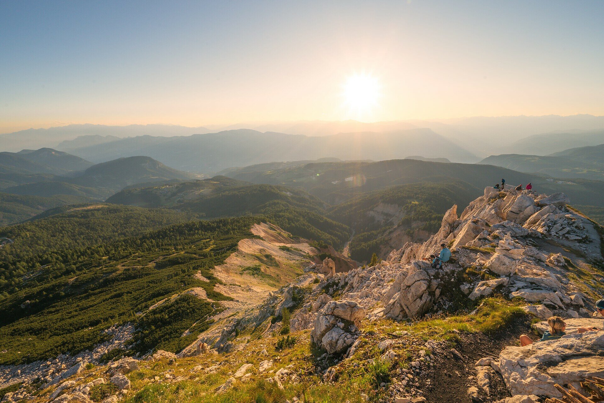
At the top, a breathtaking 360° panorama unfolds: from the Dolomites to the Zillertal and Sarntal Alps, the Rosengarten and even as far as the Ortler. It's a view that stirs the soul.
On the way back, a break at the welcoming Neuhütt Alm | Capanna Nuova is the perfect reward before returning to the valley. A hike of contrasts – between alpine wilderness and spiritual quiet, between panoramic views and grounding silence. Perfect for sure-footed mountain lovers seeking depth and inspiration.
Gallery
Categories
  • Hiking trail
Tags
  • Linear route
Route info
Difficult
Distance
14,8 km
Activity time
5 h 05 min
Ascent
792 m
Descent
835 m
Physical effort
Scenary
Highest point
2.313 m
Lowest point
1.521 m
You might be interested in
Discover related tours
Welschnofen
Circuit « L'impératrice Sissi »
Distance 11,1 km
Activity time 3 h 15 min
Ascent 263 m
Descent 292 m
Status
open
Deutschnofen
Randonnée panoramique
Distance 10,3 km
Activity time 2 h 40 min
Ascent 137 m
Descent 133 m
Status
open
Intermediate
Add to favourites
Welschnofen
Du lac de Carezza au labyrinthe rocheux du Latemar
Distance 9,6 km
Activity time 3 h 00 min
Ascent 447 m
Descent 447 m
Status
open
Welschnofen
Circuit de la Stadlalm
Distance 7,7 km
Activity time 2 h 10 min
Ascent 78 m
Descent 247 m
Status
open
Welschnofen
Randonnée en boucle jusqu’à l’auberge Jocherhof, au-dessus de Welschnofen
Distance 6,4 km
Activity time 2 h 20 min
Ascent 401 m
Descent 407 m
Status
open
Welschnofen
Du parking de Kaiserstein au refuge Masarè
Distance 1,5 km
Activity time 40 min
Ascent 189 m
Descent 0 m
Status
open
© Gabriel Eisath
Neu
Der offizielle WhatsApp-Kanal von Eggental Tourismus!
Abonniere unseren Kanal

Verpasse keine Neuigkeiten mehr! Folge unserem neuen WhatsApp-Kanal und erhalte aktuelle News, Veranstaltungstipps und besondere Highlights aus dem Eggental direkt auf dein Handy.

Wir freuen uns auf dich!