
Difficulty
IntermediateActivity time
2:15
Duration in hours
Distance
7.6
Distance in km
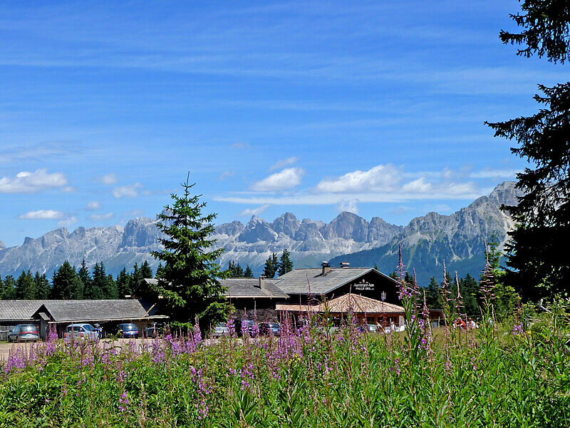
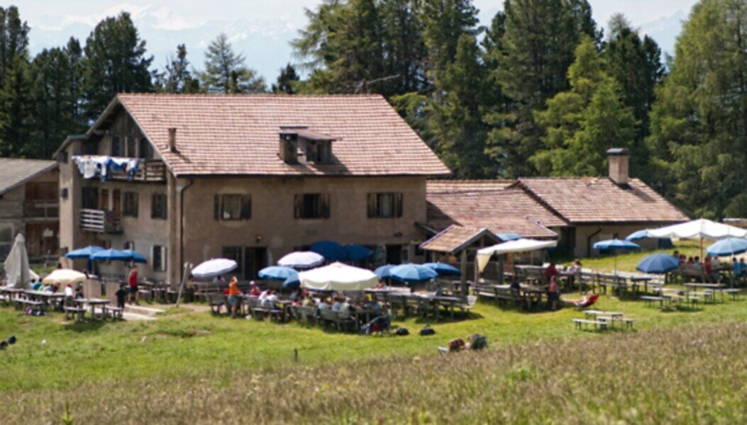
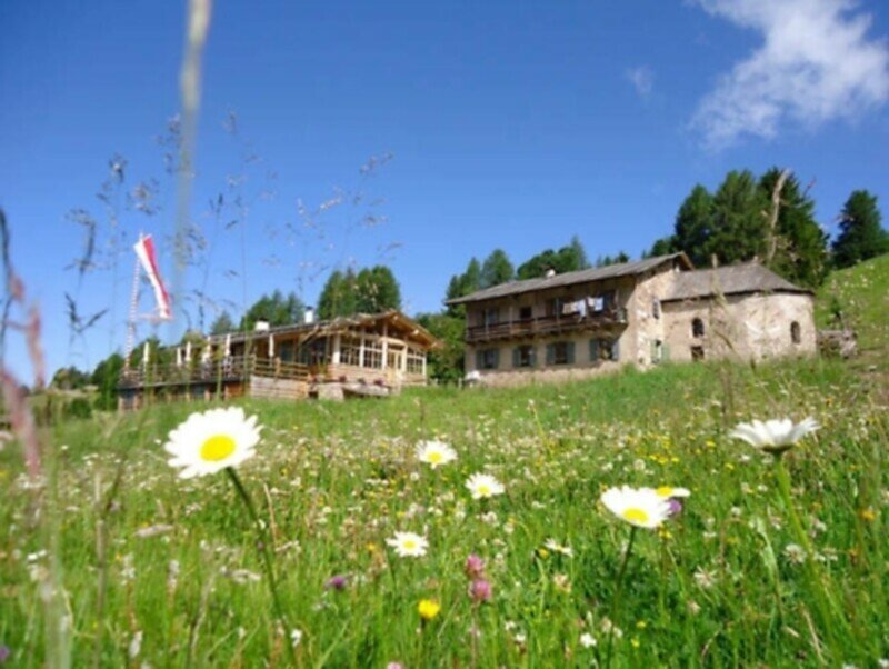
Leisurely alpine loop hike at Passo Oclini with stunning views of the South Tyrolean mountain landscape. Perfect for families, nature lovers, and those seeking peaceful trails.
The alpine loop hike at Passo Oclini offers a scenic and relaxing nature experience for all ages. This well-marked trail leads through peaceful alpine meadows and quiet forests, with breathtaking views of the White Horn, Black Horn, and Zanggen mountain. Along the way, cozy mountain huts invite hikers to take a break and enjoy traditional South Tyrolean dishes. The route is perfect for families, leisure hikers, and anyone looking to enjoy the serene beauty of the South Tyrolean landscape at a comfortable pace. A highlight of this circular hike is the panoramic view over the surrounding peaks and the colorful alpine flora.

You might be interested in
Discover related tours


