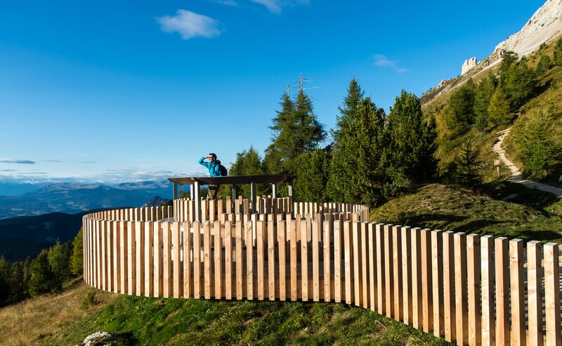
Start right in the idyllic Steinegg and follow a wonderful and partly challenging circular route through forests, meadows, and beautiful views. The path leads you over 9.7 km and about 525 m of altitude gain to romantic spots like the Spitzköfele with breathtaking views of the Schlern and the Rosengarten.
Along the way, you will encounter the lovingly restored Bildstöckl “Ölgartner Bild” and finally arrive at the cozy Hofschank Wiedenhof. There you will find a playground for the little ones and a petting zoo – ideal for families and a relaxing break with regional delicacies.
The loop back to Steinegg is comfortably manageable – and well accessible by public transport or easy to start from the village square.
- Insider tip
- Refreshment stops available
- Flora
Your route starts in the center of Steinegg (820 m) – directly at the bus stop “Steinegg Dorf” or at the parking lot by the village square. From there, you hike on path [3] to the upper village of Steinegg. Just above the bus garages, turn right onto path [6] and follow it past the Kummer Farm to the viewpoint Spitzköfele – a short detour is worthwhile because the view is magnificent!
Back on the main path, continue on path [7]. Past the lovingly restored Bildstöckl “Ölgartner Bild” (1,102 m) you reach path [6] again. Follow it for a bit until path [8B] branches off to the Hofschank Wiedenhof (920 m) on the right. There you will find a playground and a petting zoo – ideal for a cozy stop with the whole family.
The way back to Steinegg finally leads you comfortably via path [8].
The starting point of the route is easy and convenient to reach by public transport.
By public bus line:
- 182 from Bolzano
- 187 from Welschnofen
- 180 from Karersee, Karerpass, Fassatal*
- 184 from Obereggen, Eggen*
- 181 from Weissenstein, Petersberg, Deutschnofen, Stenk*
- 187 or 182 from Gummer
*Change in Birchabruck to line 182
Bus stop: Steinegg, Dorf;
Online timetable search at Südtirol Mobil
Starting point: Steinegg Dorf
By car:
Destination: Steinegg
Parking: next to the main road in front of Café Christl at the Dorfplatz Steinegg parking lot
Starting point: Steinegg Dorf
Parking: next to the main road in front of Café Christl at the Dorfplatz Steinegg parking lot
Starting point: Steinegg Dorf


