
Top
Randonnée de Deutschnofen au lieu de pèlerinage de Maria Weißenstein
Deutschnofen
Add to favouritesDifficulty
IntermediateActivity time
3:50
Duration in hours
Distance
11.8
Distance in km
Status
open
Relaxed hike through forests and alpine huts to the pilgrimage site Maria Weißenstein – perfect for nature lovers, peace seekers and culture fans.
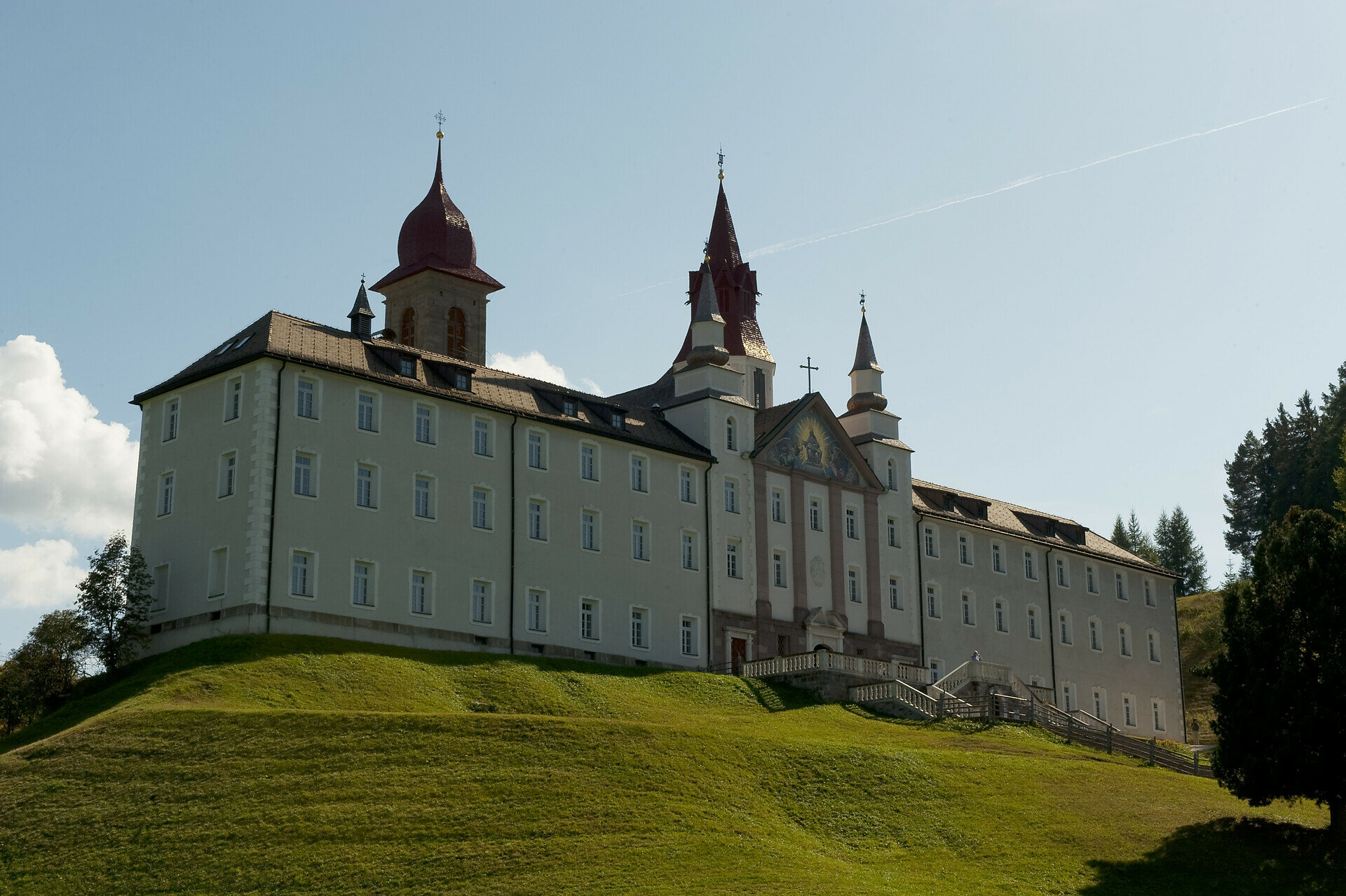
This hike is a journey through nature and inward reflection. Starting from the village of Deutschnofen, the trail winds through quiet forests and across gentle alpine meadows to one of South Tyrol’s most important pilgrimage sites: Maria Weißenstein.
Along the way, cozy mountain huts invite you to pause and enjoy local flavors while taking in the calm, scenic surroundings. Step by step, you leave the everyday behind, until the baroque sanctuary emerges—an inspiring place of peace and contemplation.
Ideal for those who seek a slower pace, love nature, and enjoy combining outdoor activity with cultural and spiritual discovery.
Gallery


You might be interested in
Discover related tours


