Top

Randonnée en famille jusqu'à l'observatoire de Gummer

Steinegg
Add to favourites
Difficulty
Easy
Activity time
0:38
Duration in hours
Distance
2.4
Distance in km
Status
open
Categories
  • Hiking trail
Tags
  • Dog-friendly
  • Linear route
  • Suitable for strollers
  • Accessibility
  • Refreshment stops available
  • Family-friendly
  • Flora
Suggested period
Jan
Feb
Mar
Apr
May
Jun
Jul
Aug
Sep
Oct
Nov
Dec
Short, family-friendly hike to the observatory in Obergummer – with views of the sky and the surrounding mountains.
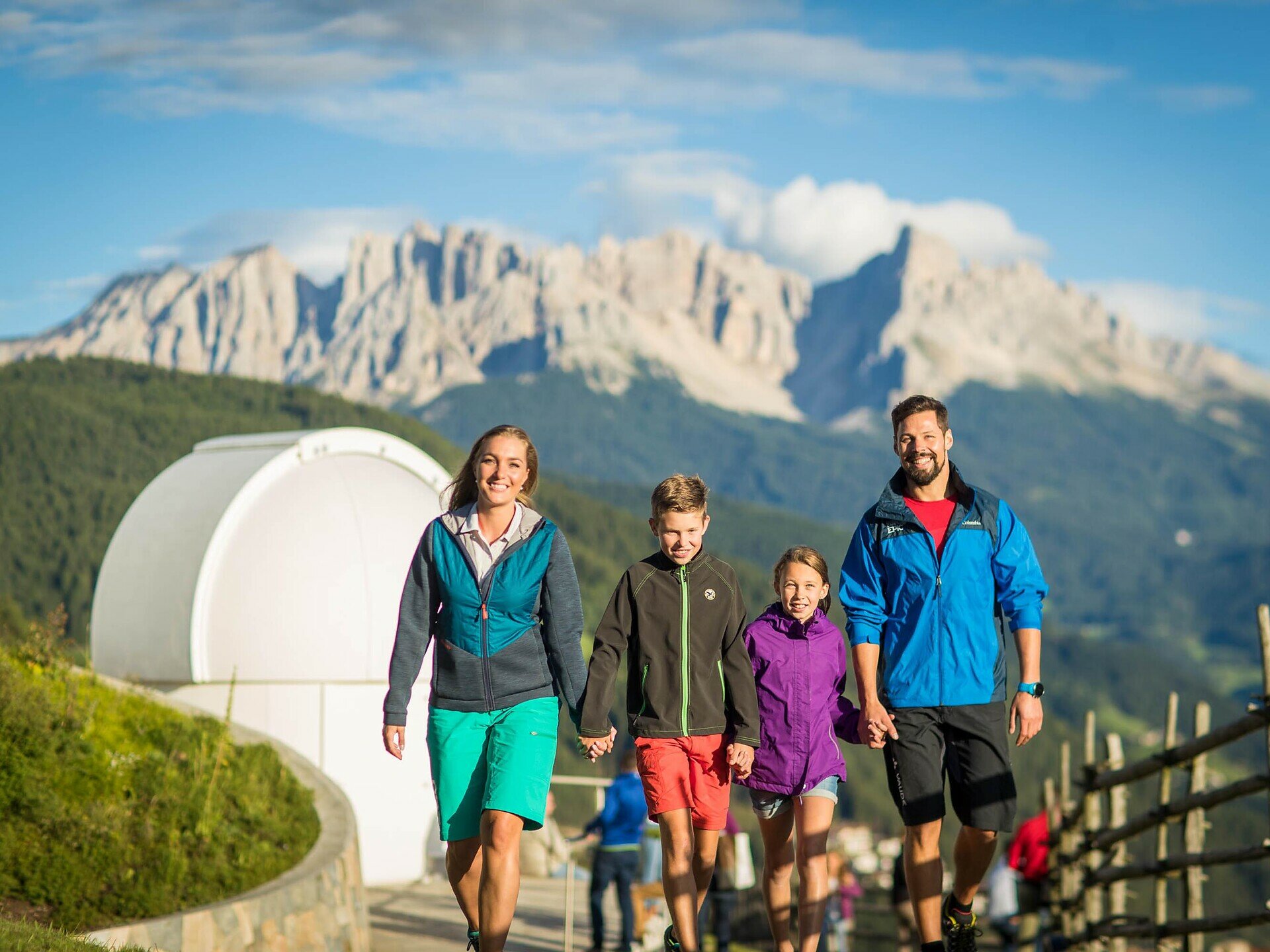
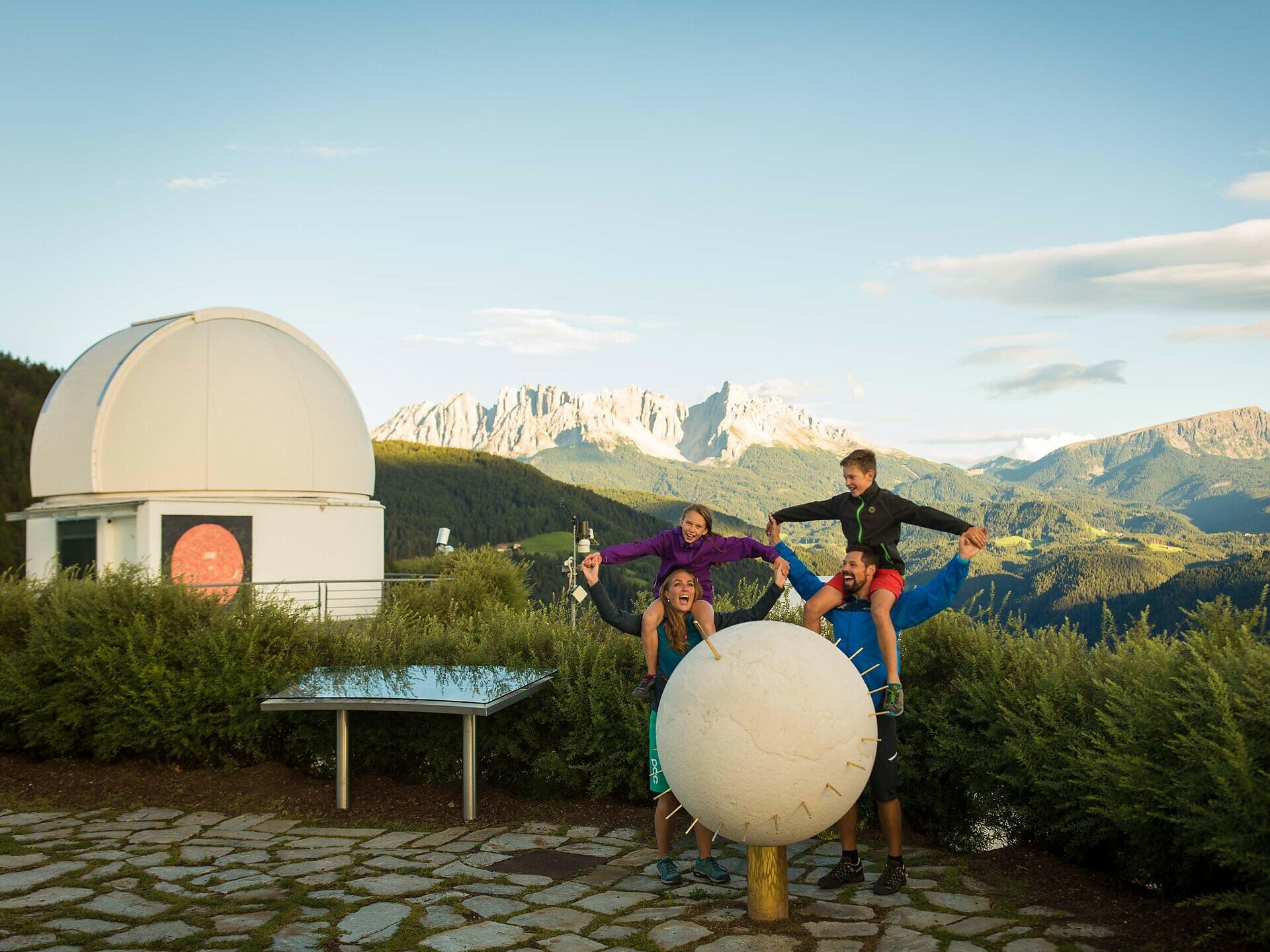
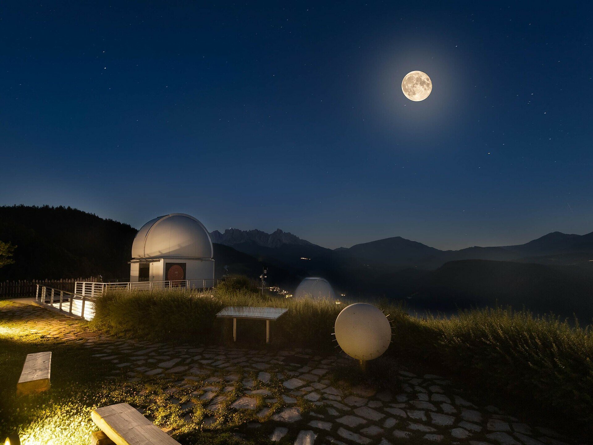
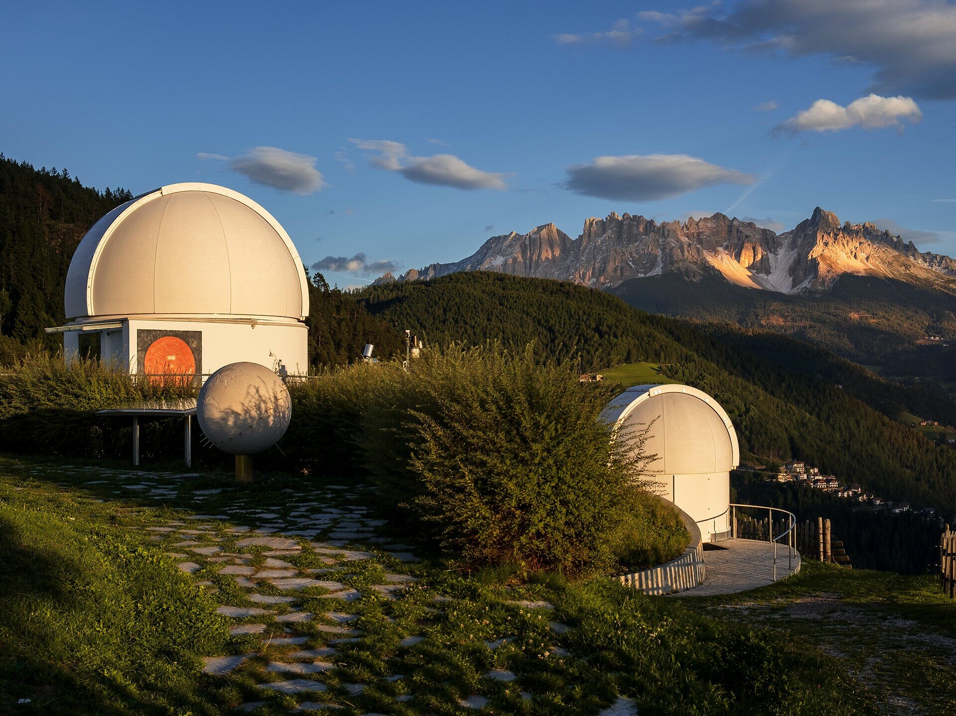
Embark on a family-friendly hike to South Tyrol’s only observatory in Obergummer.Starting from the Schenken parking lot at the Lantschnay bus stop, a quiet, stroller-accessible asphalt road leads you directly to the „Max Valier“ observatory and the „Peter Anich“ solar observatory.Part of the trail follows the Planet Path, where you can explore our solar system at a scale of 1:1 billion.At the destination, not only are stellar views and views of the surrounding mountains awaiting you, but also the Unteregger inn with a playground and petting zoo – perfect for a relaxing break after a short yet celestial hike.
Gallery
Categories
  • Hiking trail
Tags
  • Dog-friendly
  • Linear route
  • Suitable for strollers
  • Accessibility
  • Refreshment stops available
  • Family-friendly
  • Flora
Route info
Easy
Distance
2,4 km
Activity time
38 min
Ascent
34 m
Descent
28 m
Physical effort
Scenary
Highest point
1.318 m
Lowest point
1.291 m
You might be interested in
Discover related tours
Welschnofen
Randonnée autour des lacs Karer See et Mittersee
Distance 5,7 km
Activity time 1 h 35 min
Ascent 127 m
Descent 122 m
Status
open
Obereggen
Randonnée estivale de Gardonè à la forêt du Dragon
Distance 1,5 km
Activity time 25 min
Ascent 37 m
Descent 37 m
Status
open
Intermediate
Add to favourites
Deutschnofen
Randonnée de Deutschnofen au sanctuaire de Maria Weißenstein
Distance 12,3 km
Activity time 3 h 50 min
Ascent 475 m
Descent 475 m
Status
open
Intermediate
Add to favourites
Steinegg
Circuit de randonnée de Steinegg à l'auberge Wiedenhof
Distance 9,8 km
Activity time 3 h 30 min
Ascent 490 m
Descent 491 m
Status
open
Welschnofen
Randonnée en boucle jusqu’à l’auberge Jocherhof, au-dessus de Welschnofen
Distance 6,4 km
Activity time 2 h 20 min
Ascent 401 m
Descent 407 m
Status
open
Intermediate
Add to favourites
Steinegg
Le sentier des pyramides à Steinegg
Distance 5,9 km
Activity time 1 h 52 min
Ascent 355 m
Descent 355 m
Status
open
© Gabriel Eisath
Neu
Der offizielle WhatsApp-Kanal von Eggental Tourismus!
Abonniere unseren Kanal

Verpasse keine Neuigkeiten mehr! Folge unserem neuen WhatsApp-Kanal und erhalte aktuelle News, Veranstaltungstipps und besondere Highlights aus dem Eggental direkt auf dein Handy.

Wir freuen uns auf dich!