Top

Family hike to the observatory in Gummer|San Valentino

Steinegg
Add to favourites
Difficulty
Easy
Activity time
0:38
Duration in hours
Distance
2.4
Distance in km
Status
open
Categories
  • Hiking trail
Tags
  • Dog-friendly
  • Linear route
  • Suitable for strollers
  • Accessibility
  • Refreshment stops available
  • Family-friendly
  • Flora
Suggested period
Jan
Feb
Mar
Apr
May
Jun
Jul
Aug
Sep
Oct
Nov
Dec
Short, family-friendly hike to the observatory in Obergummer – with views of the sky and the surrounding mountains.
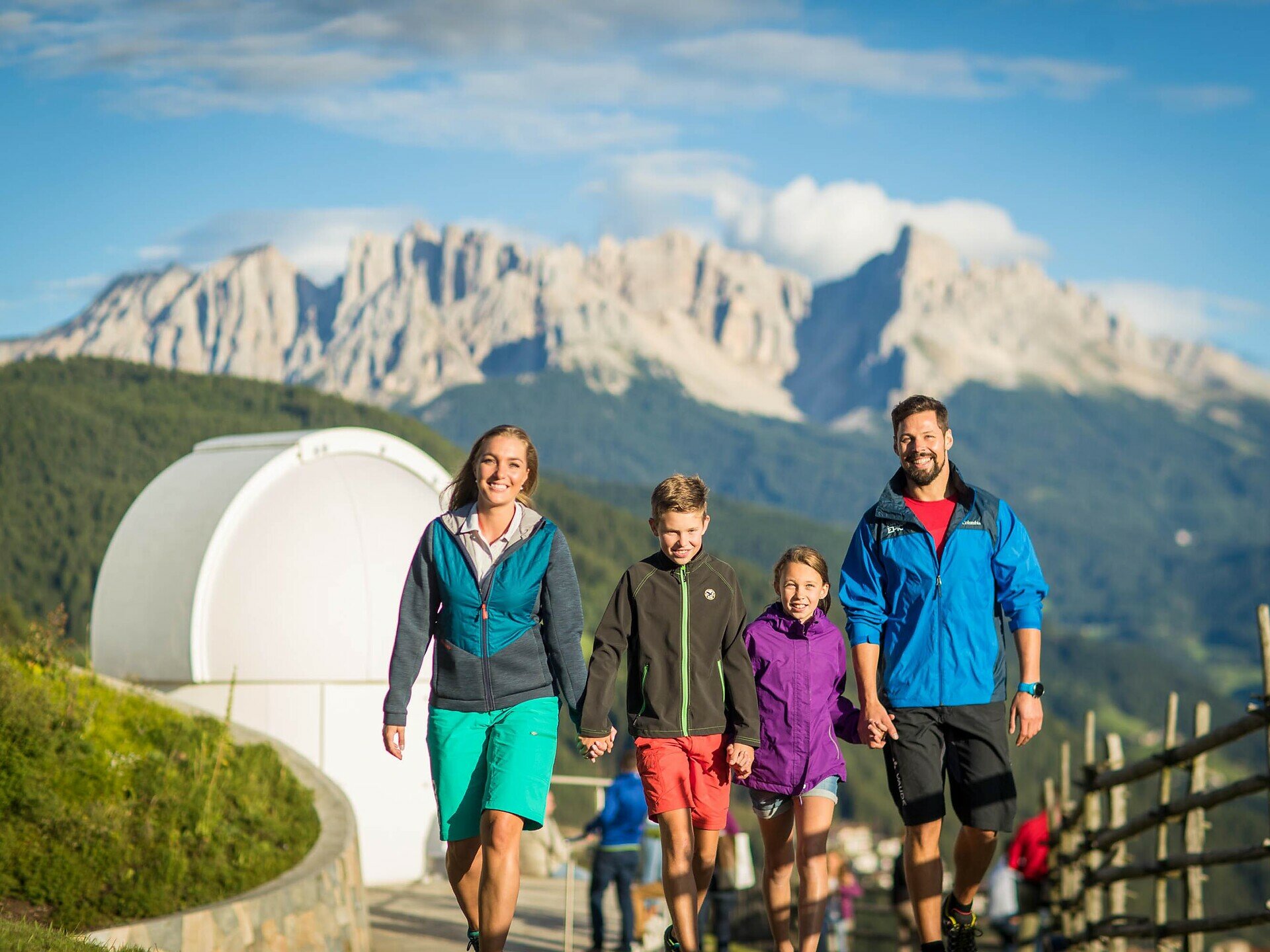
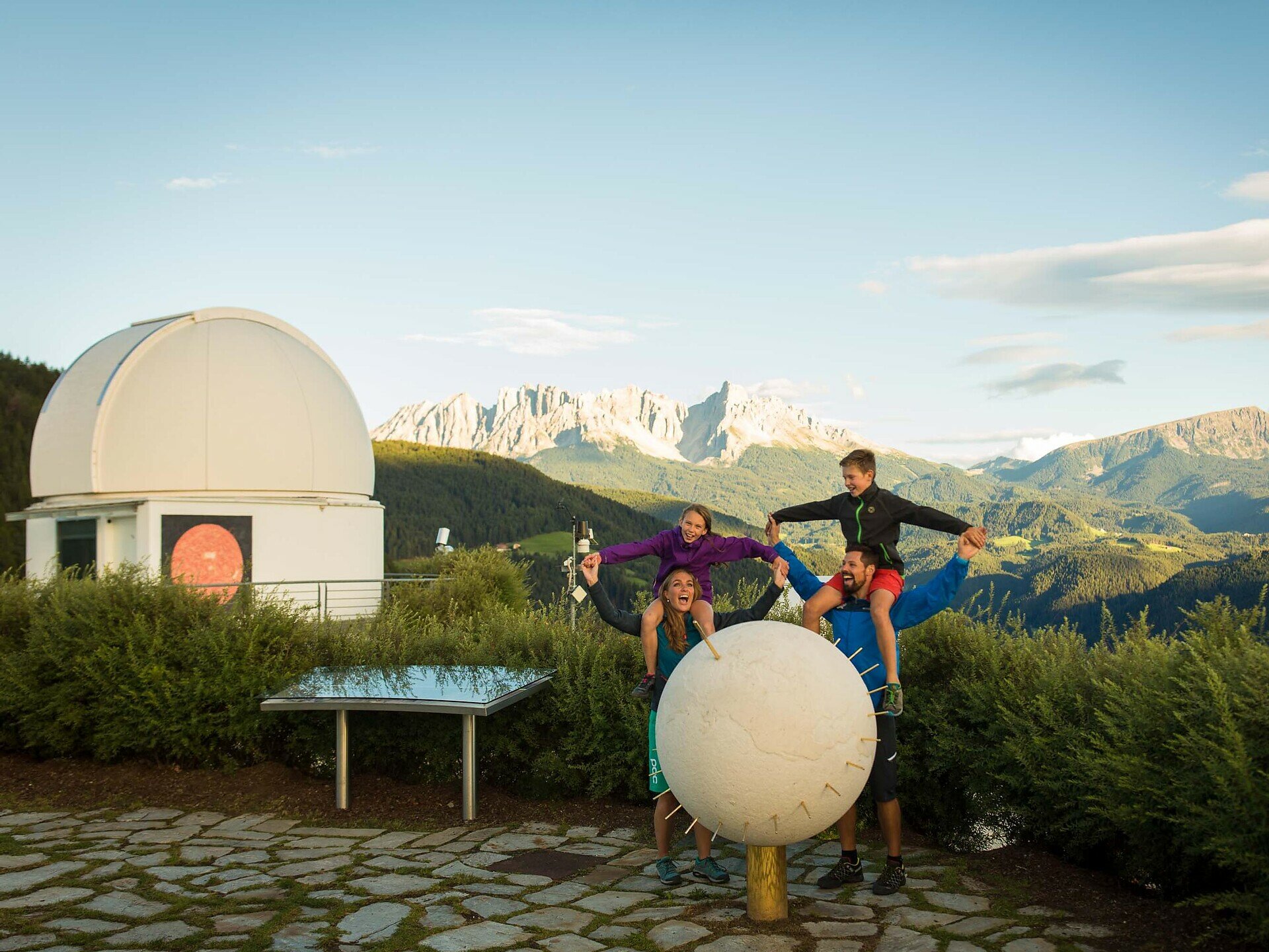
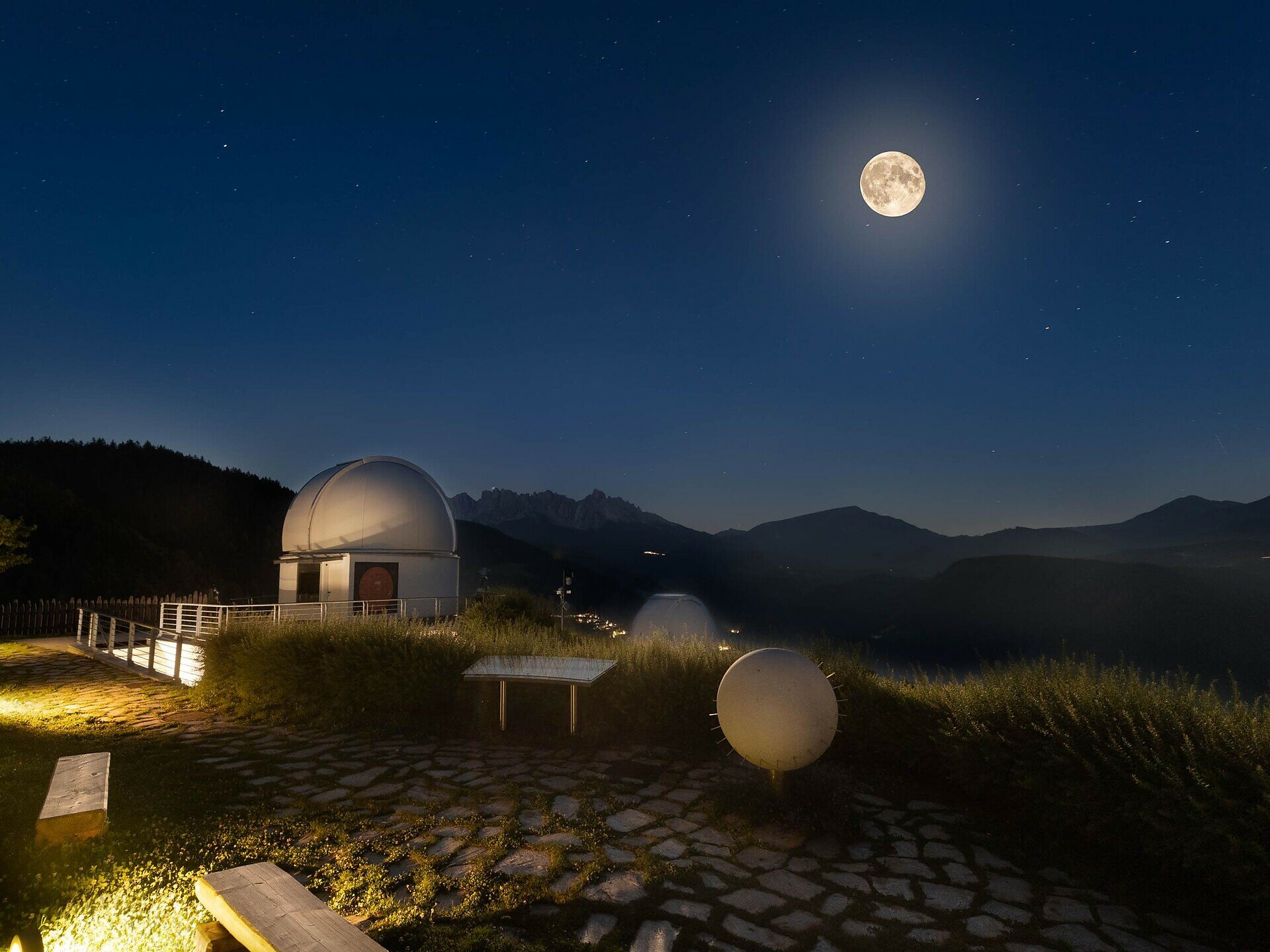
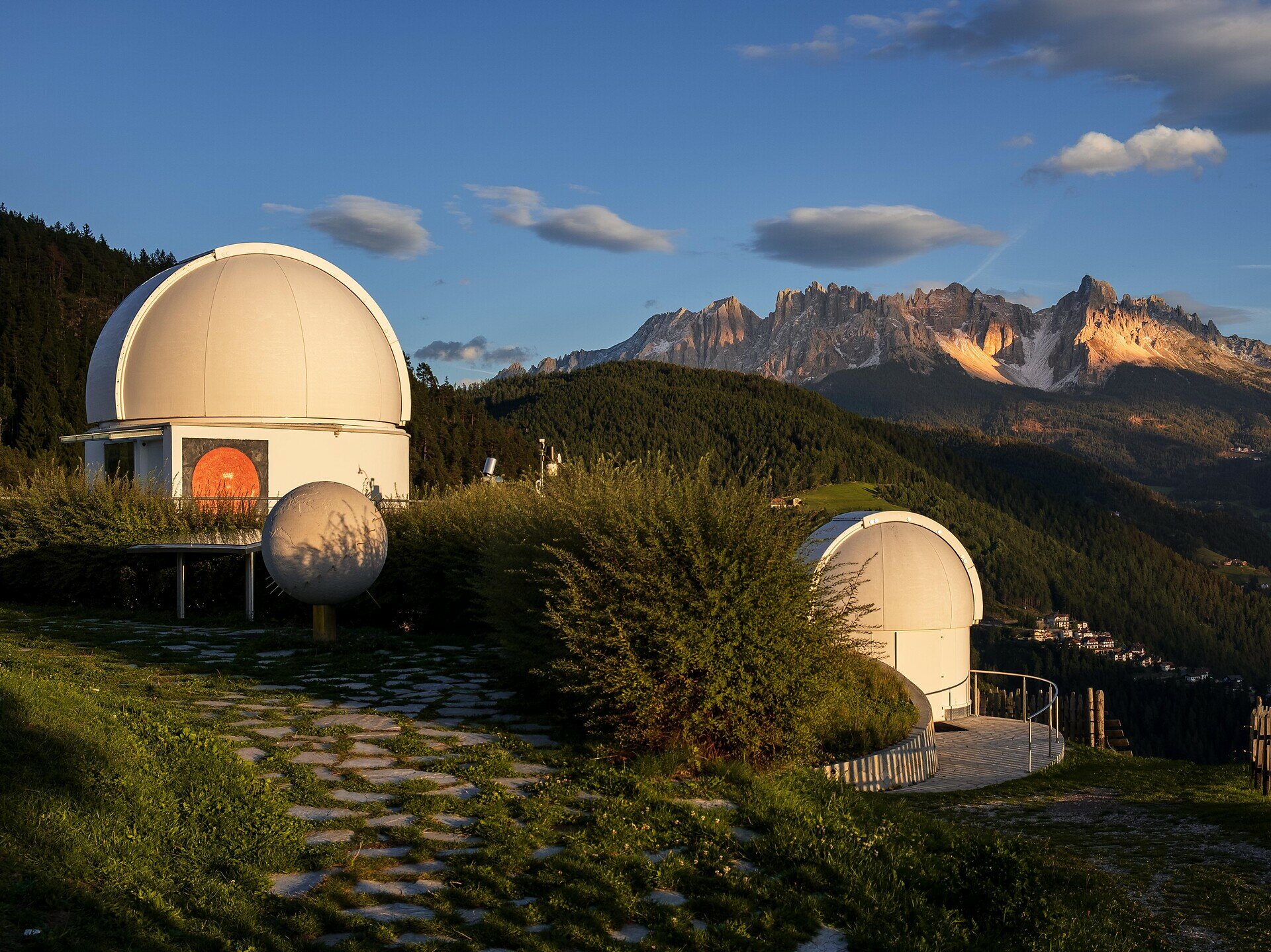
Embark on a family-friendly hike to South Tyrol’s only observatory in Obergummer.Starting from the Schenken parking lot at the Lantschnay bus stop, a quiet, stroller-accessible asphalt road leads you directly to the „Max Valier“ observatory and the „Peter Anich“ solar observatory.Part of the trail follows the Planet Path, where you can explore our solar system at a scale of 1:1 billion.At the destination, not only are stellar views and views of the surrounding mountains awaiting you, but also the Unteregger inn with a playground and petting zoo – perfect for a relaxing break after a short yet celestial hike.
Gallery
Categories
  • Hiking trail
Tags
  • Dog-friendly
  • Linear route
  • Suitable for strollers
  • Accessibility
  • Refreshment stops available
  • Family-friendly
  • Flora
Route info
Easy
Distance
2,4 km
Activity time
38 min
Ascent
34 m
Descent
28 m
Physical effort
Scenary
Highest point
1.318 m
Lowest point
1.291 m
You might be interested in
Discover related tours
Intermediate
Add to favourites
Steinegg
Path of the Stars from Gummer|San Valentino to Steinegg|Collepietra
Distance 12,2 km
Activity time 3 h 27 min
Ascent 334 m
Descent 656 m
Status
closed
Intermediate
Add to favourites
Deutschnofen
Hike through the Bletterbachschlucht Gorge
Distance 11,5 km
Activity time 3 h 56 min
Ascent 588 m
Descent 588 m
Status
open
Intermediate
Add to favourites
Deutschnofen
Hike to Kohlern | Colle di Bolzano and Bozen | Bolzano
Distance 11,0 km
Activity time 3 h 25 min
Ascent 342 m
Descent 593 m
Status
open
Intermediate
Add to favourites
Deutschnofen
Hike from Oclini at the top of the Corno Bianco
Distance 1,5 km
Activity time 1 h 00 min
Ascent 307 m
Descent 14 m
Status
open
Deutschnofen
Hike to the Weißhorn Mountain
Distance 14,8 km
Activity time 5 h 05 min
Ascent 792 m
Descent 835 m
Status
closed
Welschnofen
From the Paolina car park to Lake Carezza
Distance 2,0 km
Activity time 27 min
Ascent 12 m
Descent 90 m
Status
open
© Carezza Dolomites/Harald Wisthaler
Information & prices
Ski passes
Winter 2026/27

Here you will find all important information on skipasses, daily, multi-day, and seasonal tickets at a glance. All ski passes can be purchased quickly and conveniently online. Buy your skipass directly from home and get a 5% discount!

To the ski passes & tickets