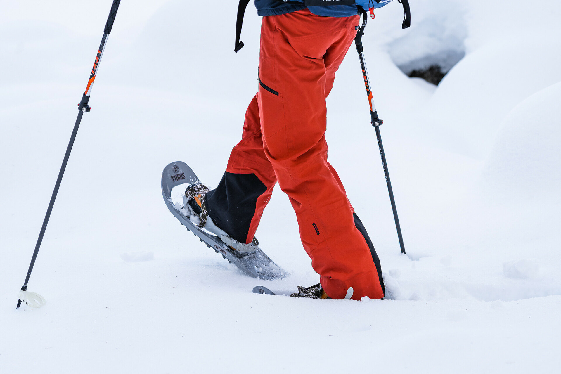
Top

Randonnée en raquettes de Welschnofen au "Totmoos"

Welschnofen, Steinegg
Add to favourites
Category
Difficulty
Intermediate
Activity time
4:00
Duration in hours
Distance
13
Distance in km
Status
closed
Suggested period
Jan
Feb
Mar
Apr
May
Jun
Jul
Aug
Sep
Oct
Nov
Dec
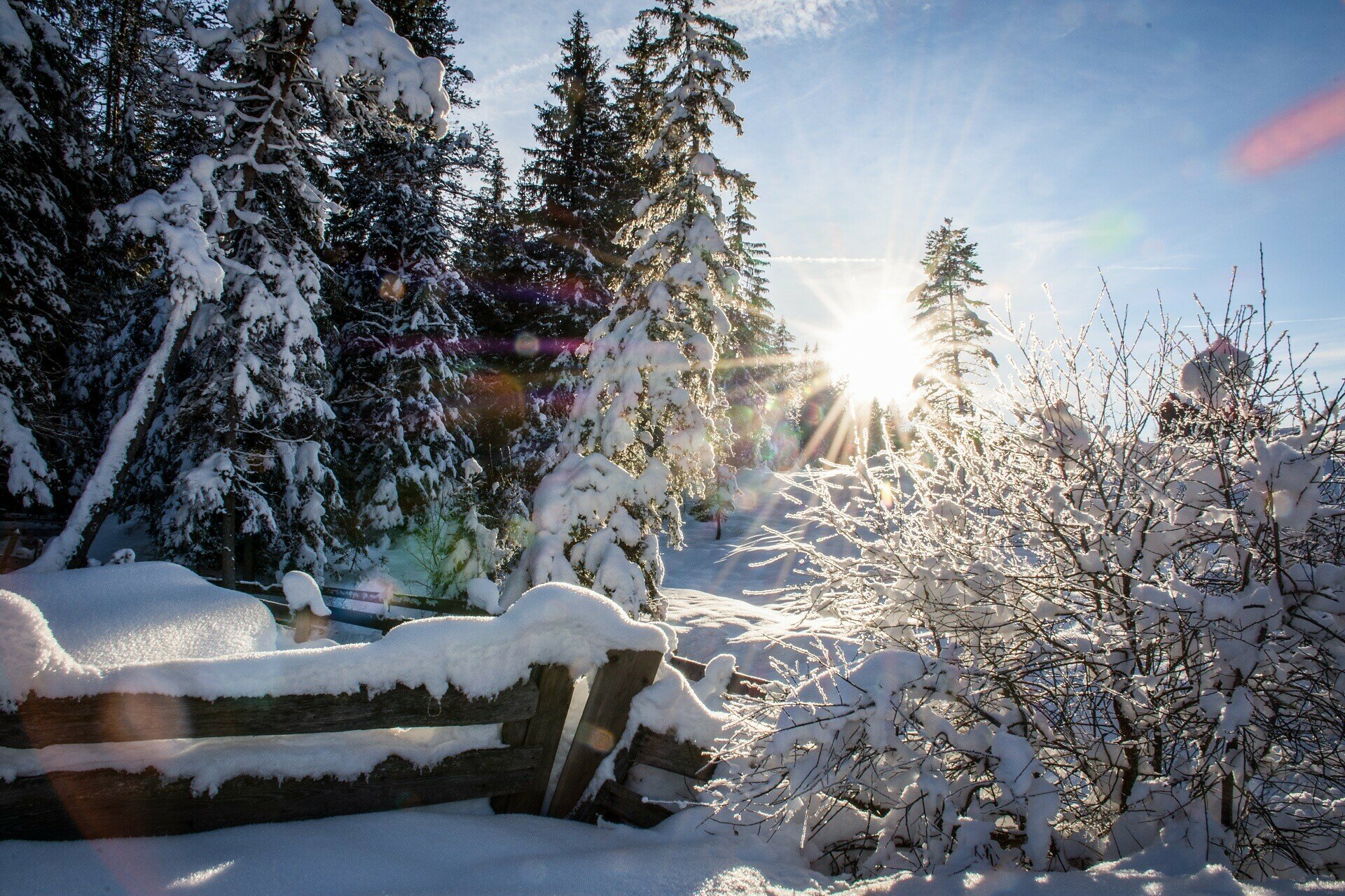
The snowshoe hike leads to the tranquil Totmoos biotope, passing through gentle ascents and quiet forests, with views of the Dolomites and the valley.

This snowshoe hike leads into the tranquil and secluded nature of the Totmoos biotope. In this protected moorland, numerous water lilies can be found in summer, which are decorating the pond and are covered in snow and ice in winter. The nature reserve also provides a home for many forest inhabitants. The path follows gentle ascents and passes through quiet forests, providing a perfect retreat from everyday life. Along the way, you are repeatedly rewarded with views of the surrounding Dolomite mountains and the Eggental Valley.

Route info
Intermediate
Distance
13,0 km
Activity time
4 h 00 min
Ascent
602 m
Descent
602 m
Physical effort
Scenary
Highest point
1.630 m
Lowest point
1.155 m
You might be interested in
Discover related tours
Intermediate
Add to favourites
Deutschnofen
Randonnée en raquettes Deutschnofen - Kohlern - Bolzano
Distance 10,6 km
Activity time 4 h 07 min
Ascent 371 m
Descent 627 m
Status
closed
Welschnofen
Randonnée en raquettes sur les prairies de Frin au lac de Karer
Distance 8,5 km
Activity time 2 h 59 min
Ascent 328 m
Descent 328 m
Status
closed
Deutschnofen
Randonnée en raquettes autour de Jochgrimm
Distance 7,5 km
Activity time 2 h 37 min
Ascent 274 m
Descent 274 m
Status
closed
Deutschnofen
Randonnée en raquettes de Eggen à Rauth
Distance 8,4 km
Activity time 3 h 00 min
Ascent 391 m
Descent 346 m
Status
closed
Deutschnofen
Randonnée en raquettes jusqu'à Häusler Sam
Distance 7,7 km
Activity time 2 h 54 min
Ascent 280 m
Descent 276 m
Status
closed
Deutschnofen
Randonnée en raquettes Maria Weißenstein - Vallée Köser - Neuhütt
Distance 10,0 km
Activity time 2 h 55 min
Ascent 350 m
Descent 350 m
Status
closed