Top

Randonnée en raquettes à neige Enzbirch

Deutschnofen
Add to favourites
Category
Difficulty
Intermediate
Activity time
4:51
Duration in hours
Distance
13.3
Distance in km
Status
closed
Suggested period
Jan
Feb
Mar
Apr
May
Jun
Jul
Aug
Sep
Oct
Nov
Dec
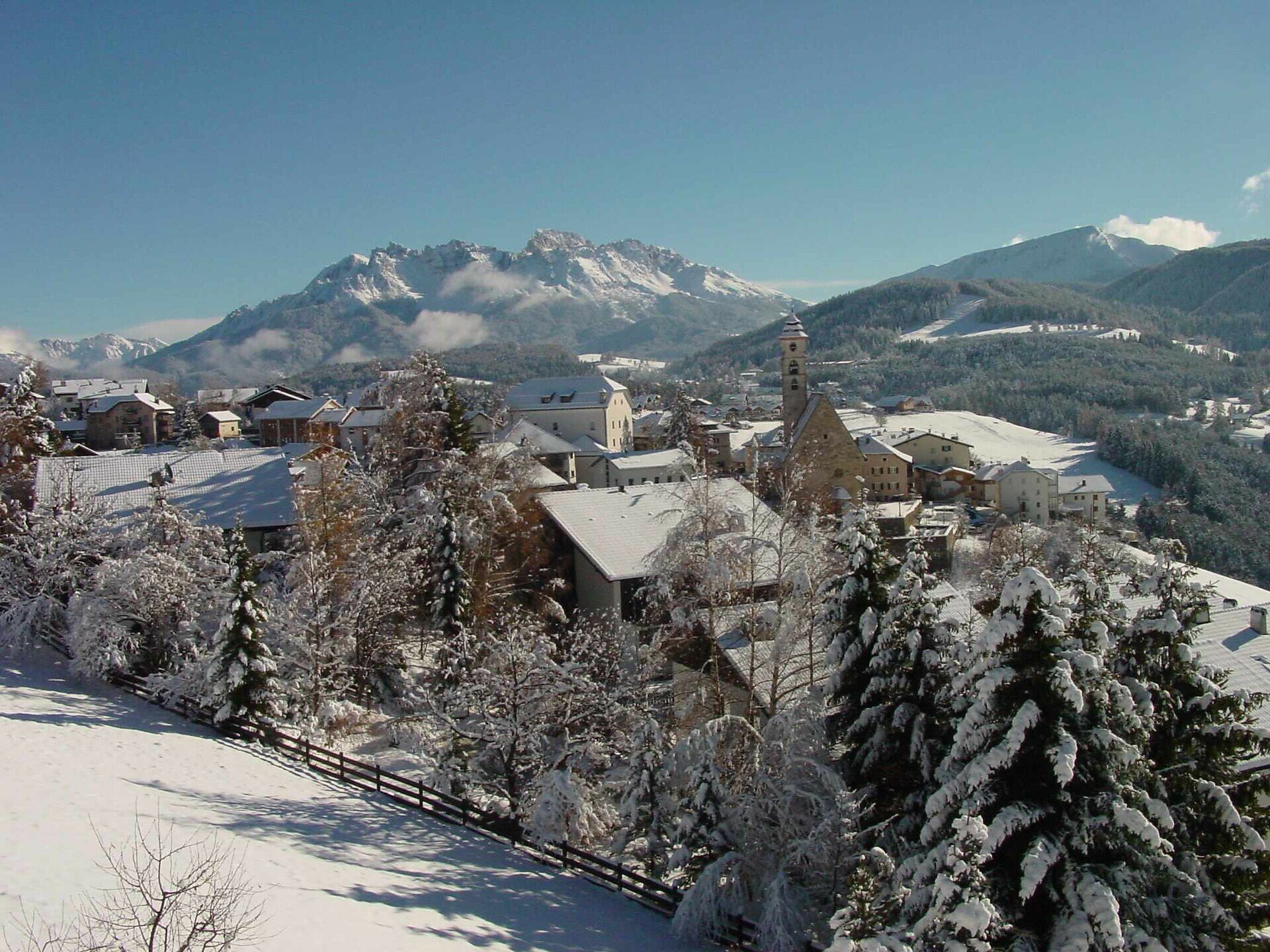
This Stone Age Settlement includes a heavy overgrown hilltop, the ruins of a walled fortress, and great views of the Adige Valley.

The snowshoe hike to the primeval settlement of Enzbirch leads through an idyllic winter landscape characterized by dense forests and vast snowfields. Enzbirch itself, an overgrown hilltop, bears witness to the historical importance of the region. The remains of an old rampart castle can be found here. Once here, a breathtaking panorama opens up with a view of the Adige Valley.

Tags
  • Round trip
Route info
Intermediate
Distance
13,3 km
Activity time
4 h 51 min
Ascent
518 m
Descent
518 m
Physical effort
Scenary
Highest point
1.428 m
Lowest point
1.218 m
You might be interested in
Discover related tours
Intermediate
Add to favourites
Welschnofen
Randonnée en raquettes de Welschnofen au lac Karer
Distance 16,5 km
Activity time 4 h 49 min
Ascent 547 m
Descent 547 m
Status
closed
Intermediate
Add to favourites
Welschnofen, Steinegg
Randonnée en raquettes de Welschnofen au "Totmoos"
Distance 13,0 km
Activity time 4 h 00 min
Ascent 602 m
Descent 602 m
Status
closed
Intermediate
Add to favourites
Karersee, Welschnofen
Randonnée en raquettes à neige vers le Buselineck-Monte Nigra à Novare
Distance 10,7 km
Activity time 2 h 51 min
Ascent 140 m
Descent 727 m
Status
closed
Intermediate
Add to favourites
Deutschnofen
Randonnée en raquettes à neige vers Maria Weißenstein et Laab Alm
Distance 14,0 km
Activity time 4 h 35 min
Ascent 339 m
Descent 339 m
Status
closed
Intermediate
Add to favourites
Deutschnofen
Randonnée en raquettes vers la petite église St. Agatha
Distance 5,0 km
Activity time 1 h 25 min
Ascent 150 m
Descent 150 m
Status
closed
Deutschnofen
Randonnée en raquettes jusqu'au Häusler Sam
Distance 7,7 km
Activity time 2 h 54 min
Ascent 280 m
Descent 276 m
Status
closed