Top

Randonnée familiale de Jolanda à la cabane Messnerjoch

Welschnofen
Add to favourites
Difficulty
Easy
Activity time
1:11
Duration in hours
Distance
4
Distance in km
Suggested period
Jan
Feb
Mar
Apr
May
Jun
Jul
Aug
Sep
Oct
Nov
Dec
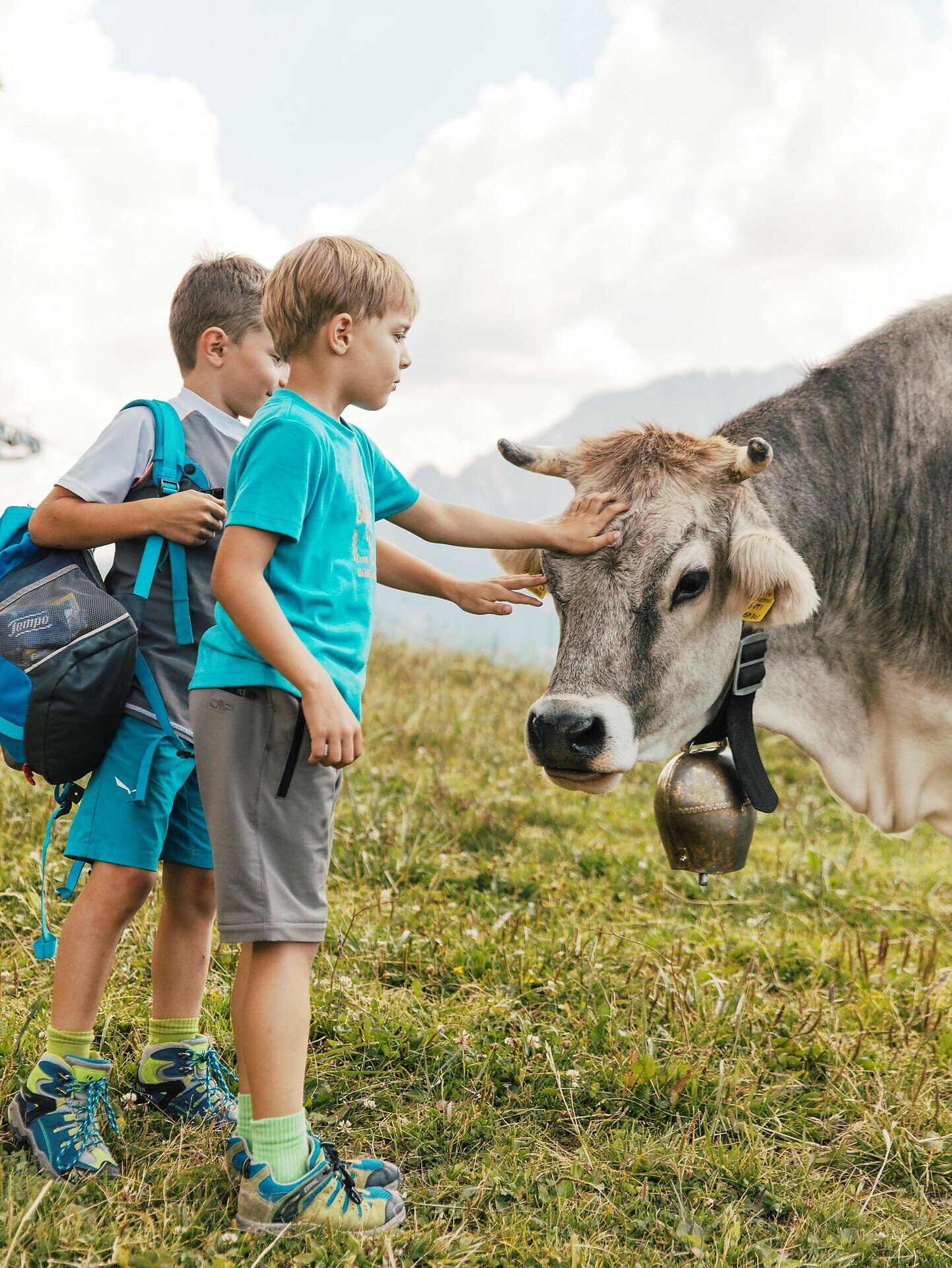
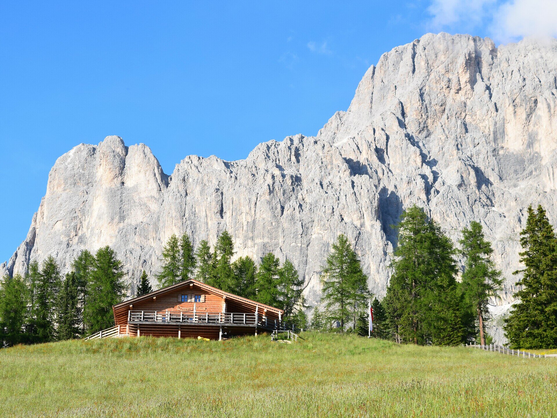
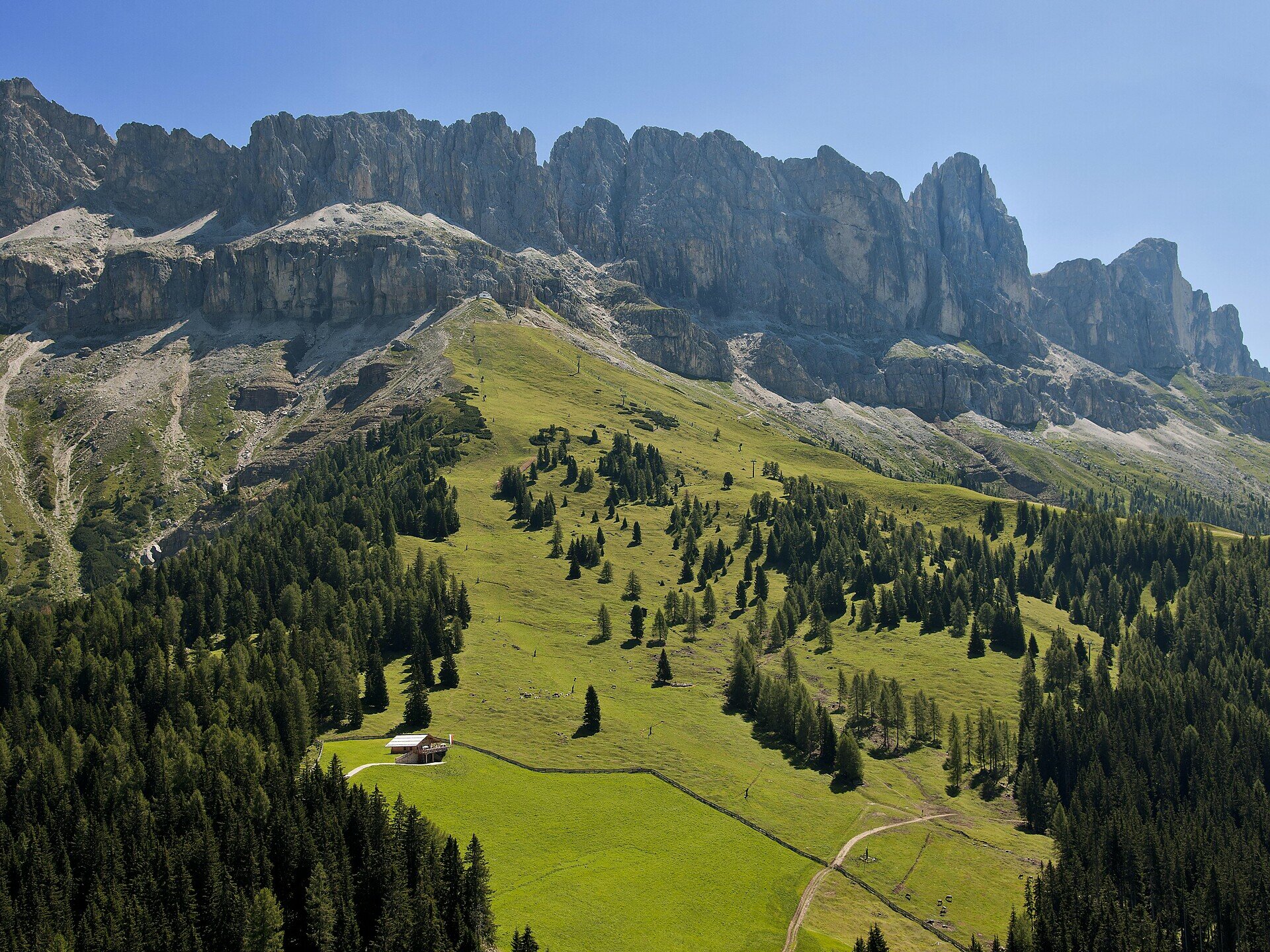
Easy, buggy-friendly family hike to the Messnerjoch hut with playground, regional cuisine, and stunning mountain panorama.

This ideal family hike leads along a comfortable forest path through stunning natural surroundings to the cozy Messnerjoch hut. The route is easy to manage and well-suited for children. Once at the top, hikers are rewarded with breathtaking views of the surrounding mountain ranges of the Rosengarten | Catinaccio and a warm, welcoming alpine hut offering regional specialties. For the little ones, there's a lovingly designed playground where they can play to their hearts' content - while adults relax and take in the peaceful atmosphere and panoramic scenery.

Route info
Easy
Distance
4,0 km
Activity time
1 h 11 min
Ascent
152 m
Descent
152 m
Physical effort
Scenary
Highest point
1.925 m
Lowest point
1.770 m
Suggestions

Refreshment stop Messnerjoch hut - Opening hours and closing day: https://eggental.com/en/info/almhtte-messnerjoch_5238

Directions

The hike starts at the parking area on the Nigerstraße | Via Nigra (Niger road), just below the Jolanda guesthouse. Opposite the parking area, the forest path [1A] begins. Follow this path until you reach a junction, where you turn onto path [1B], which leads directly to the Messnerjoch hut. The return route follows the same path back. The path is suitable for baby-buggies.

Refreshment stop Messnerjoch hut - Opening hours and closing day: https://eggental.com/en/info/almhtte-messnerjoch_5238

public transportation
Getting to the starting point of the tour by public transport is easy and convenient.

By public bus line:
- 180 from Bozen | Bolzano, Birchabruck | Ponte Nova
- 180 or 184 from Karerpass | Passo Costalunga
- 184 from Weissenstein | Pietralba, Petersberg | Monte San Pietro, Deutschnofen | Nova Ponente, Stenk (or 181 and change 180)
- 184 from Obereggen, Eggen | Ega (or 184 and change 180)
- 187 from Steinegg | Collepietra, Gummer | San Valentino (or 182 and change 180)
- 180 from Val di Fassa
*all bus lines require a change to line 186

Bus stop: Jolanda. Online timetable search at www.suedtirolmobil.info/en/

How to get there
Getting to the starting point of the tour by public transport is easy and convenient.

By public bus line:
- 180 from Bozen | Bolzano, Birchabruck | Ponte Nova
- 180 or 184 from Karerpass | Passo Costalunga
- 184 from Weissenstein | Pietralba, Petersberg | Monte San Pietro, Deutschnofen | Nova Ponente, Stenk (or 181 and change 180)
- 184 from Obereggen, Eggen | Ega (or 184 and change 180)
- 187 from Steinegg | Collepietra, Gummer | San Valentino (or 182 and change 180)
- 180 from Val di Fassa
*all bus lines require a change to line 186

Bus stop: Jolanda. Online timetable search at www.suedtirolmobil.info/en/

By car:
Destination: Welschnofen | Nova Levante
Parking: Parking below the Jolanda.
Where to park

Parking: parking lot on the Nigerstraße | Via Nigra (Niger road), just below the Jolanda guesthouse, https://maps.app.goo.gl/ppG2xVVpdPor6nse8

You might be interested in
Discover related tours
Obereggen, Deutschnofen
LATEMAR.ALP
Distance 9,1 km
Activity time 2 h 35 min
Ascent 305 m
Descent 305 m
Intermediate
Add to favourites
Welschnofen
From Welschnofen | Nova Levante to the Stadl Alm farm and Lake Carezza
Distance 16,1 km
Activity time 4 h 51 min
Ascent 655 m
Descent 649 m
Intermediate
Add to favourites
Deutschnofen, Welschnofen
Hike from Obereggen to Lake Carezza via the path "Templweg"
Distance 13,2 km
Activity time 3 h 30 min
Ascent 169 m
Descent 171 m
Deutschnofen
Family-hike to the Häusler Sam Hut - Experience animals and play in nature
Distance 4,5 km
Activity time 1 h 15 min
Ascent 152 m
Descent 152 m
Steinegg
Family hike to the observatory in Gummer|San Valentino
Distance 2,4 km
Activity time 38 min
Ascent 34 m
Descent 28 m
Steinegg
Winter hike to the observatory in Gummer|San Valentino
Distance 4,8 km
Activity time 1 h 16 min
Ascent 57 m
Descent 57 m