Top

Randonnée familiale vers l'observatoire à Gummer

Steinegg
Add to favourites
Difficulty
Easy
Activity time
0:38
Duration in hours
Distance
2.4
Distance in km
Status
open
Categories
  • Hiking trail
Tags
  • Linear route
  • Suitable for strollers
  • Accessibility
  • Family-friendly
Suggested period
Jan
Feb
Mar
Apr
May
Jun
Jul
Aug
Sep
Oct
Nov
Dec
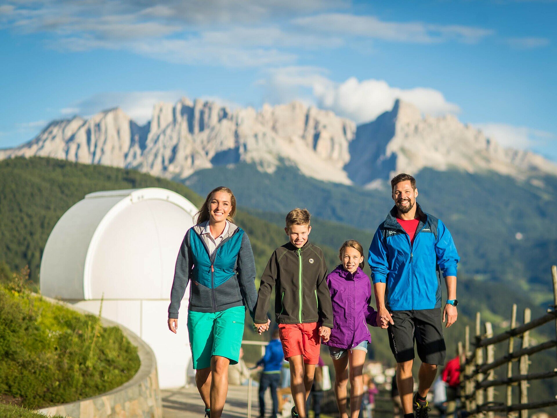
Short, family-friendly hike to the observatory in Obergummer – with views of the sky and the surrounding mountains.
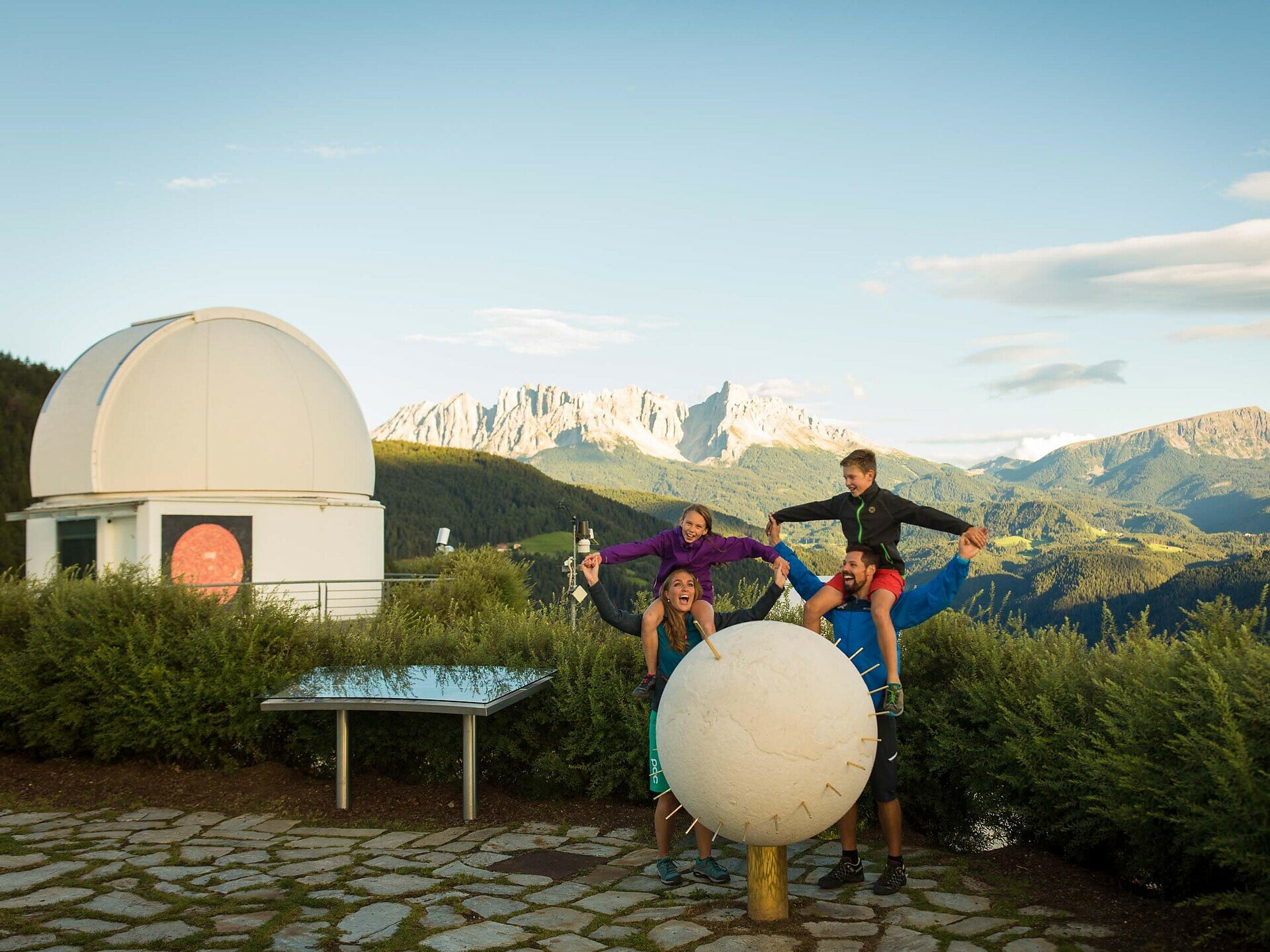
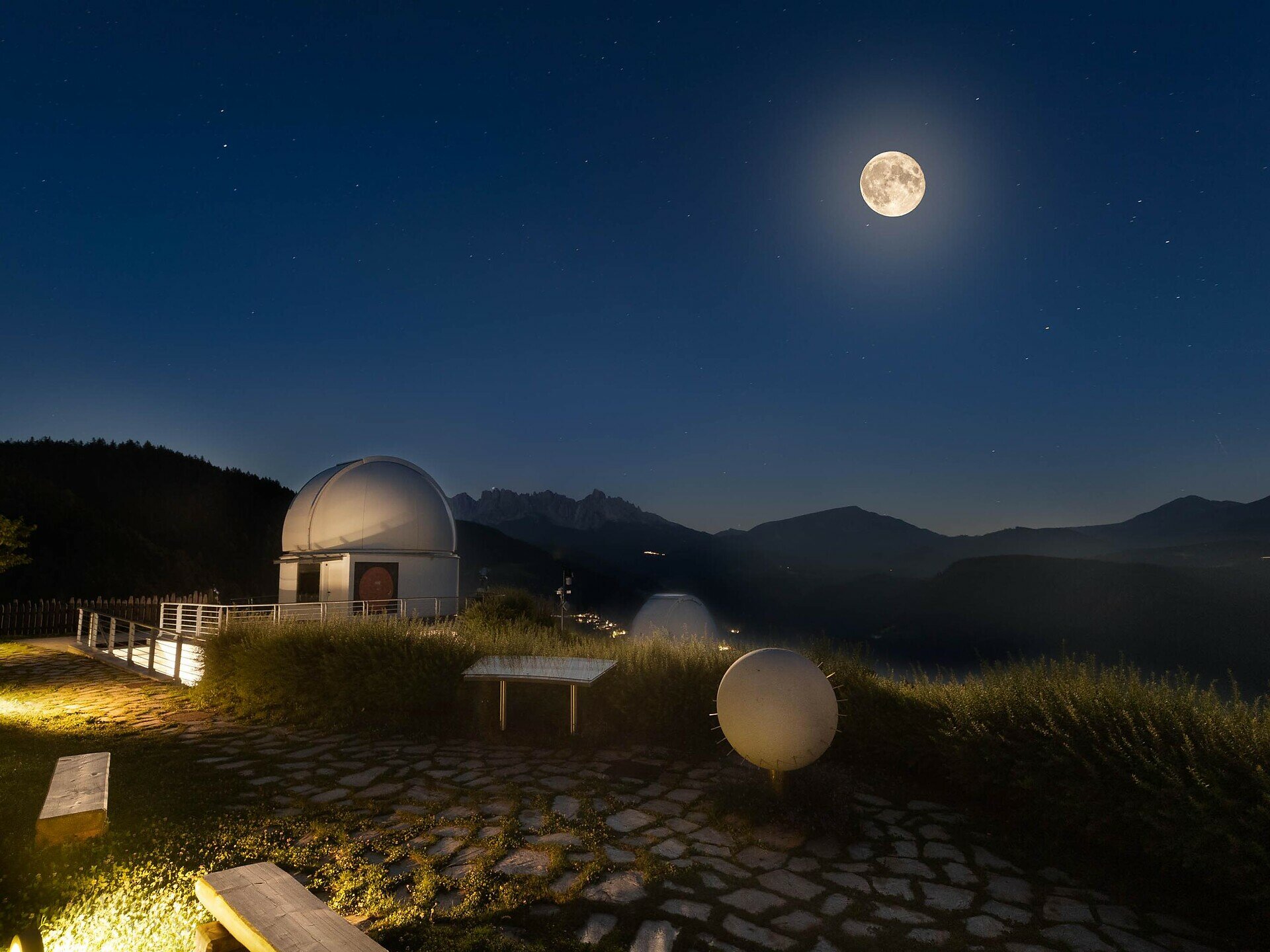
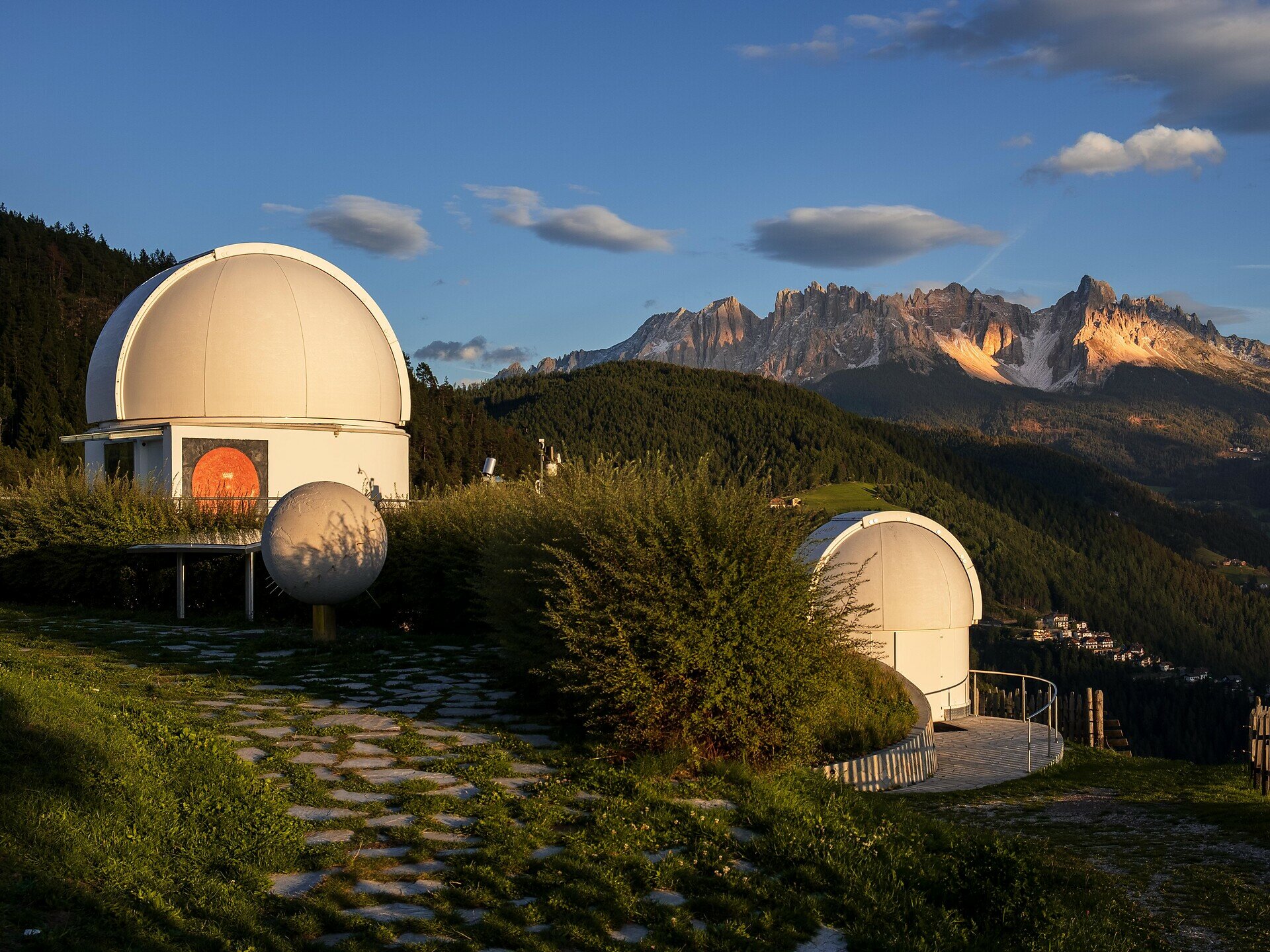
Embark on a family-friendly hike to South Tyrol’s only observatory in Obergummer.Starting from the Schenken parking lot at the Lantschnay bus stop, a quiet, stroller-accessible asphalt road leads you directly to the „Max Valier“ observatory and the „Peter Anich“ solar observatory.Part of the trail follows the Planet Path, where you can explore our solar system at a scale of 1:1 billion.At the destination, not only are stellar views and views of the surrounding mountains awaiting you, but also the Unteregger inn with a playground and petting zoo – perfect for a relaxing break after a short yet celestial hike.
Gallery
Categories
  • Hiking trail
Tags
  • Linear route
  • Suitable for strollers
  • Accessibility
  • Family-friendly
Route info
Easy
Distance
2,4 km
Activity time
38 min
Ascent
34 m
Descent
28 m
Physical effort
Scenary
Highest point
1.318 m
Lowest point
1.291 m
You might be interested in
Discover related tours
Welschnofen
Sentier circulaire moyen au lac de Carezza
Distance 2,7 km
Activity time 45 min
Ascent 69 m
Descent 69 m
Status
open
Intermediate
Add to favourites
Karersee, Deutschnofen, Obereggen, Welschnofen
Dolomites World Heritage Geotrail II
Distance 198,2 km
Activity time 54 h 00 min
Ascent 11.589 m
Descent 11.825 m
Status
open
Intermediate
Add to favourites
Deutschnofen
Eggentaler Bergkino - Laab Alm
Distance 4,6 km
Activity time 1 h 35 min
Ascent 331 m
Descent 17 m
Status
open
Deutschnofen
Randonnée vers Häusler Sam
Distance 4,1 km
Activity time 1 h 10 min
Ascent 142 m
Descent 161 m
Status
open
Karersee, Welschnofen
Randonnée familiale du col Niger au refuge de montagne Messnerjoch
Distance 3,9 km
Activity time 1 h 16 min
Ascent 242 m
Descent 242 m
Status
open
Deutschnofen
LATEMAR.METEO
Distance 3,1 km
Activity time 1 h 07 min
Ascent 151 m
Descent 150 m
Status
open
© Gabriel Eisath
Neu
Der offizielle WhatsApp-Kanal von Eggental Tourismus!
Abonniere unseren Kanal

Verpasse keine Neuigkeiten mehr! Folge unserem neuen WhatsApp-Kanal und erhalte aktuelle News, Veranstaltungstipps und besondere Highlights aus dem Eggental direkt auf dein Handy.

Wir freuen uns auf dich!