
Difficulty
EasyActivity time
1:45
Duration in hours
Distance
6.7
Distance in km
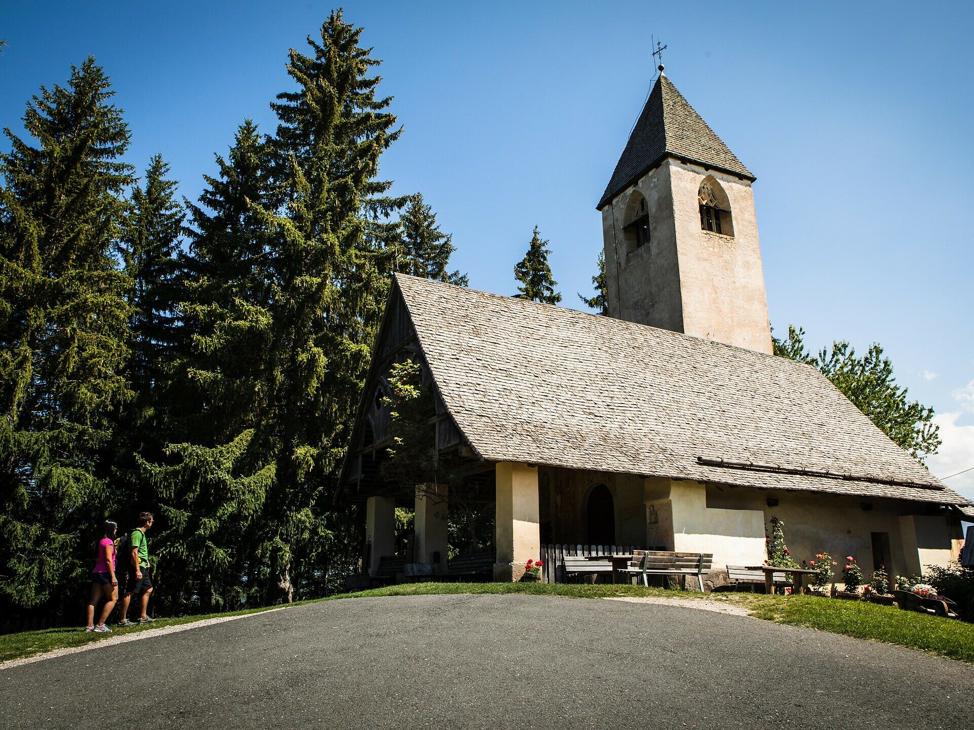
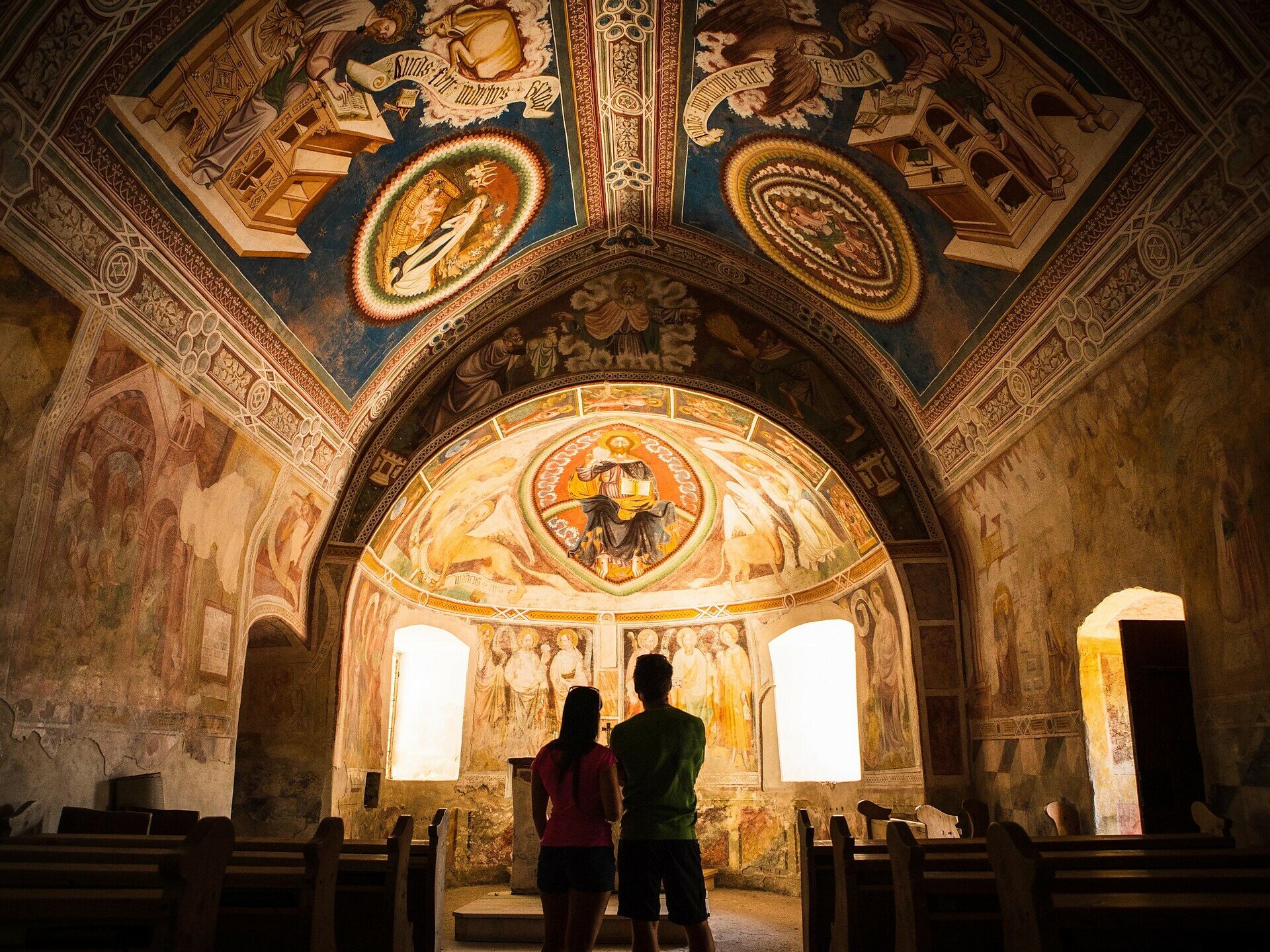
Easy family hike to the idyllic St. Helena chapel with wonderful views. Ideal for nature lovers, those seeking peace, and families interested in culture.
This family-friendly hike to the charming St. Helena chapel is a quiet, nature-close discovery route full of scenic and cultural highlights. The path leads through light forests, over gentle meadows, and repeatedly offers dreamlike views of the South Tyrolean mountain panorama. The destination – the small, idyllic chapel St. Helena – lies picturesquely on a hill, surrounded by silence and nature. The special atmosphere of the place invites you to linger and pause, while children can play to their heart's content around the meadows. Those who wish can later enjoy a delightful stop at one of the cozy inns along the route. An ideal route for families who want to combine exercise, nature, and a touch of culture.
You might be interested in
Discover related tours


