Top

Randonnée hivernale du lac de Carezza à Obereggen par le « Templweg »

Deutschnofen, Welschnofen
Add to favourites
Difficulty
Easy
Activity time
1:55
Duration in hours
Distance
7.1
Distance in km
Status
open
Categories
  • Winter hiking
Tags
  • Linear route
Suggested period
Jan
Feb
Mar
Apr
May
Jun
Jul
Aug
Sep
Oct
Nov
Dec
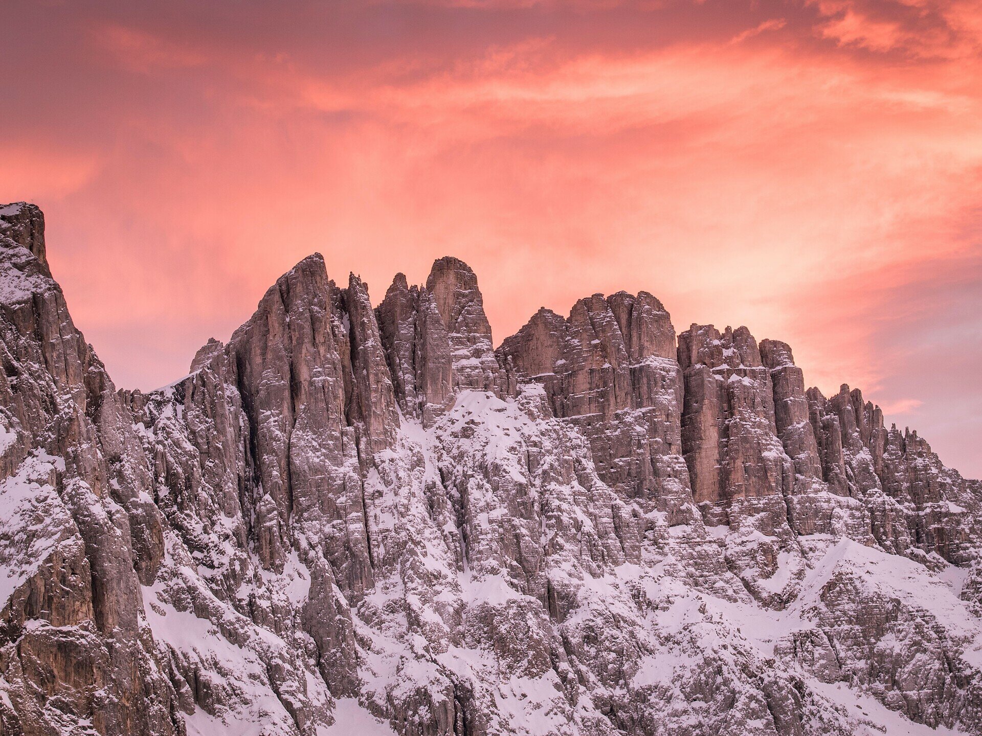
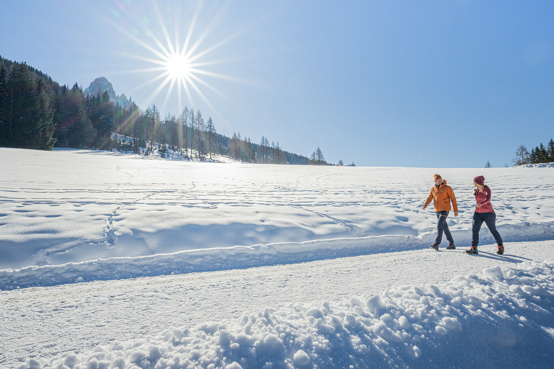
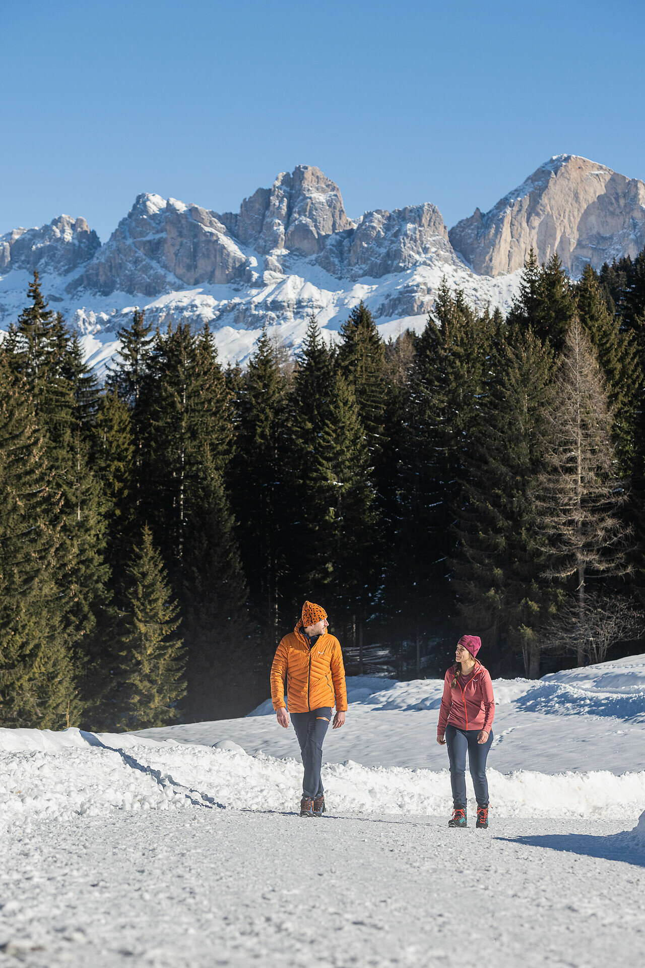
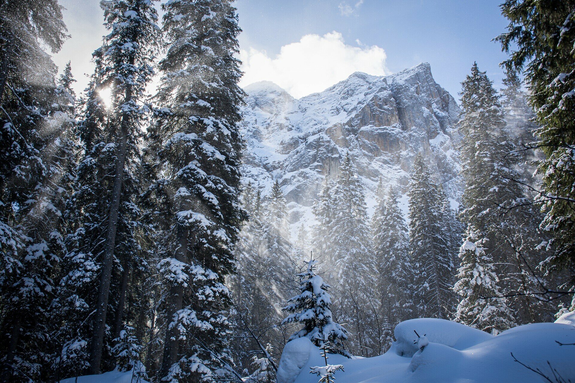
Winter hike from Lake Carezza to Obereggen through snowy forests with Latemar views – perfect for nature lovers and those seeking winter peace.

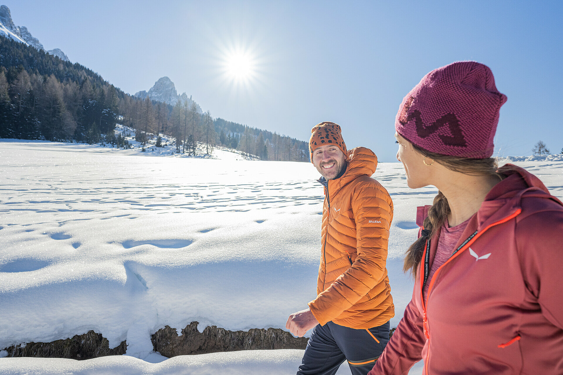
This winter hike from Lake Carezza to Obereggen offers a peaceful journey through the quiet beauty of the Dolomites. The trail winds through snow-covered forests, sunlit clearings, and traditional mountain farms, with panoramic views of the Latemar and surrounding peaks along the way. The crisp mountain air, the soft crunch of snow underfoot, and the serene atmosphere make this the perfect route for anyone seeking calm, connection with nature, and the magic of South Tyrol’s winter landscape.

Gallery
Categories
  • Winter hiking
Tags
  • Linear route
Route info
Easy
Distance
7,1 km
Activity time
1 h 55 min
Ascent
77 m
Descent
90 m
Technical skills
Physical effort
Scenary
Highest point
1.571 m
Lowest point
1.481 m
You might be interested in
Discover related tours
Welschnofen
Randonnée hivernale vers les Frinwiesen au lac de Carère
Distance 4,0 km
Activity time 1 h 10 min
Ascent 141 m
Descent 141 m
Status
open
Welschnofen
Sentier panoramique d'hiver à Welschnofen
Distance 5,1 km
Activity time 1 h 25 min
Ascent 143 m
Descent 143 m
Status
open
Karersee, Welschnofen
Randonnée hivernale entre refuges, du lac de Karersee à Welschnofen
Distance 20,3 km
Activity time 5 h 30 min
Ascent 273 m
Descent 769 m
Status
open
Welschnofen
Randonnée hivernale entre les fermes à Welschnofen
Distance 10,8 km
Activity time 2 h 34 min
Ascent 429 m
Descent 429 m
Status
open
Deutschnofen
Randonnée hivernale de l'alpage de Laab à celui de Neuhütt
Distance 7,0 km
Activity time 1 h 50 min
Ascent 152 m
Descent 154 m
Status
open
Welschnofen
Randonnée hivernale de la Frommer Alm à l'Ochsenhütte
Distance 4,2 km
Activity time 1 h 10 min
Ascent 112 m
Descent 107 m
Status
open
© Gabriel Eisath
Neu
Der offizielle WhatsApp-Kanal von Eggental Tourismus!
Abonniere unseren Kanal

Verpasse keine Neuigkeiten mehr! Folge unserem neuen WhatsApp-Kanal und erhalte aktuelle News, Veranstaltungstipps und besondere Highlights aus dem Eggental direkt auf dein Handy.

Wir freuen uns auf dich!