Top

Randonnée hivernale jusqu'à l'observatoire de Gummer

Steinegg
Add to favourites
Difficulty
Easy
Activity time
1:16
Duration in hours
Distance
4.9
Distance in km
Status
open
Categories
  • Hiking trail
Tags
  • Suitable for strollers
  • Out and back
  • Family-friendly
  • Way cleared
Suggested period
Jan
Feb
Mar
Apr
May
Jun
Jul
Aug
Sep
Oct
Nov
Dec
Pleasant winter hike suitable for pushchairs to the first observatory in South Tyrol
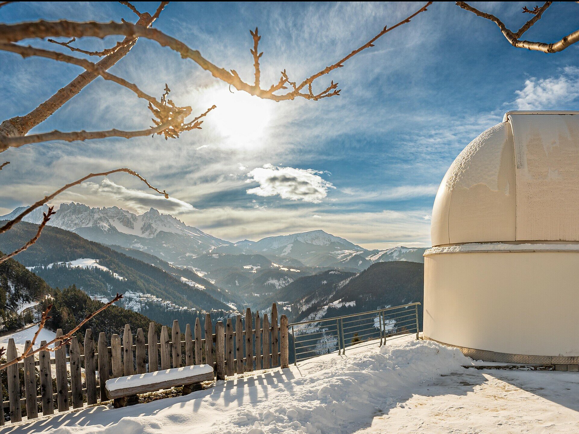
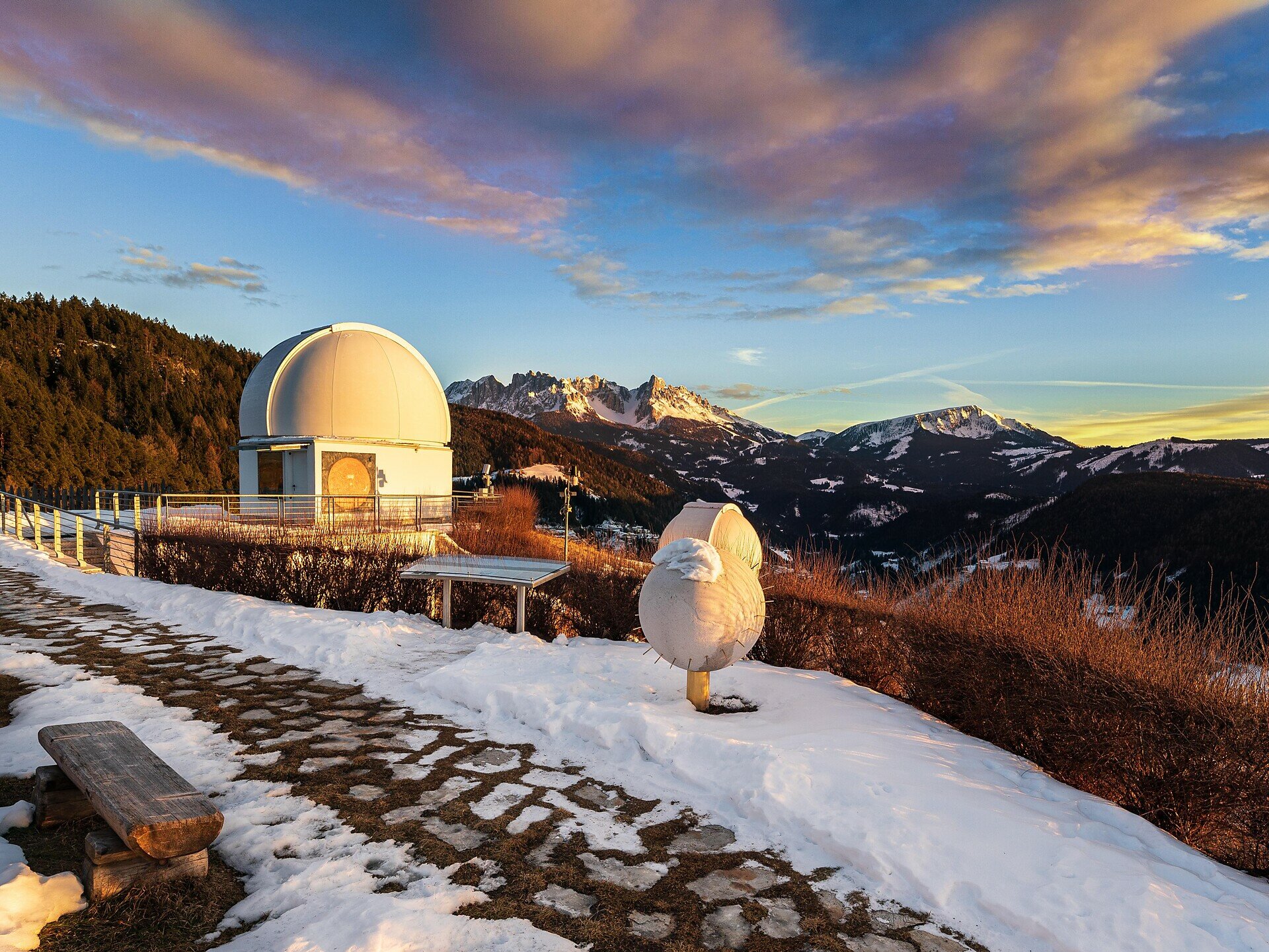
Our destination is the beautiful spot at the observatory in Obergummer| San Valentino di Sopra with a fantastic view of the Dolomite formation Latemar and a unique panoramic view. Starting from the Schenken car park or the Lantschnay bus stop, the pram-friendly path leads along a tarred road with light traffic via the hiking trail [5A] to the observatory. You can stop off at the lovely Unteregger farm inn in Obergummer|San Valentino di Sopra.

Find out in advance about the opening hours and closing days of the Unteregger farm inn in winter.
Gallery
Categories
  • Hiking trail
Tags
  • Suitable for strollers
  • Out and back
  • Family-friendly
  • Way cleared
Route info
Easy
Distance
4,9 km
Activity time
1 h 16 min
Ascent
57 m
Descent
57 m
Physical effort
Scenary
Highest point
1.318 m
Lowest point
1.291 m
You might be interested in
Discover related tours
Intermediate
Add to favourites
Welschnofen
Randonnée à la découverte des fermes à Welschnofen
Distance 10,5 km
Activity time 3 h 14 min
Ascent 477 m
Descent 477 m
Status
open
Intermediate
Add to favourites
Deutschnofen
Randonnée depuis Oclini Jochgrimm jusqu'au Weißhorn
Distance 1,5 km
Activity time 1 h 00 min
Ascent 307 m
Descent 14 m
Status
open
Deutschnofen
Randonnée vers les alpages de Schönrast – Schmieder – Lahner
Distance 15,5 km
Activity time 4 h 30 min
Ascent 499 m
Descent 499 m
Status
open
Welschnofen
Randonnée en famille depuis le Jolanda jusqu'au refuge Messnerjoch
Distance 4,0 km
Activity time 1 h 11 min
Ascent 152 m
Descent 152 m
Status
open
Welschnofen
Circuit de la Stadlalm
Distance 7,7 km
Activity time 2 h 10 min
Ascent 78 m
Descent 247 m
Status
open
Deutschnofen
Randonnée en famille sur le sentier de découverte « Kirchsteig » jusqu'au site préhistorique d'Enzbirch
Distance 14,6 km
Activity time 4 h 28 min
Ascent 532 m
Descent 532 m
Status
open
© Gabriel Eisath
Neu
Der offizielle WhatsApp-Kanal von Eggental Tourismus!
Abonniere unseren Kanal

Verpasse keine Neuigkeiten mehr! Folge unserem neuen WhatsApp-Kanal und erhalte aktuelle News, Veranstaltungstipps und besondere Highlights aus dem Eggental direkt auf dein Handy.

Wir freuen uns auf dich!