Top

Sentier de grande randonnée européen E5 : de Kohlern et Bolzano à Deutschnofen

Deutschnofen
Add to favourites
Difficulty
Intermediate
Activity time
5:17
Duration in hours
Distance
12.1
Distance in km
Status
open
Categories
  • Hiking trail
Tags
  • Linear route
Suggested period
Jan
Feb
Mar
Apr
May
Jun
Jul
Aug
Sep
Oct
Nov
Dec
E5 from Colle | Kohlern to Nova Ponente | Deutschnofen: stunning views, forest and meadow trails, Totes Moos biotope.

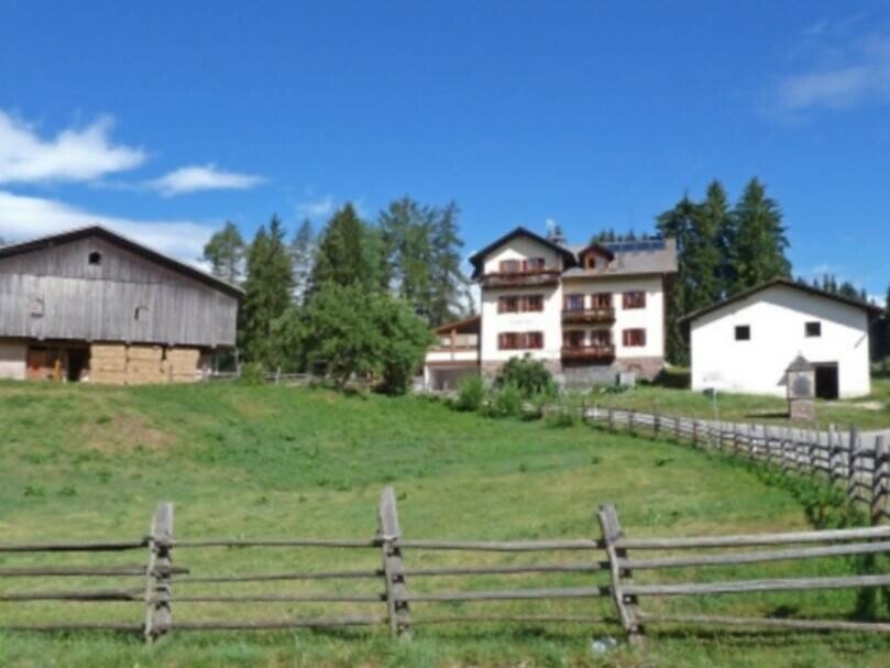
Stage 12: From the valley station of the Kohlern cable car, the E5 trail continues up to Colle | Kohlern with magnificent panoramic views. Passing through Bauernkohlern and Herrenkohlern, the route follows forest roads to the Totes Moos biotope.

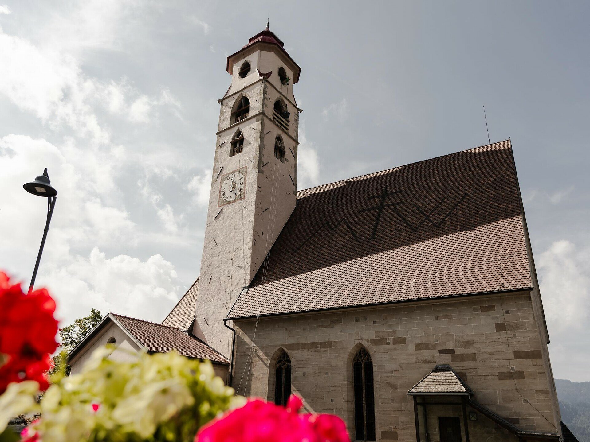
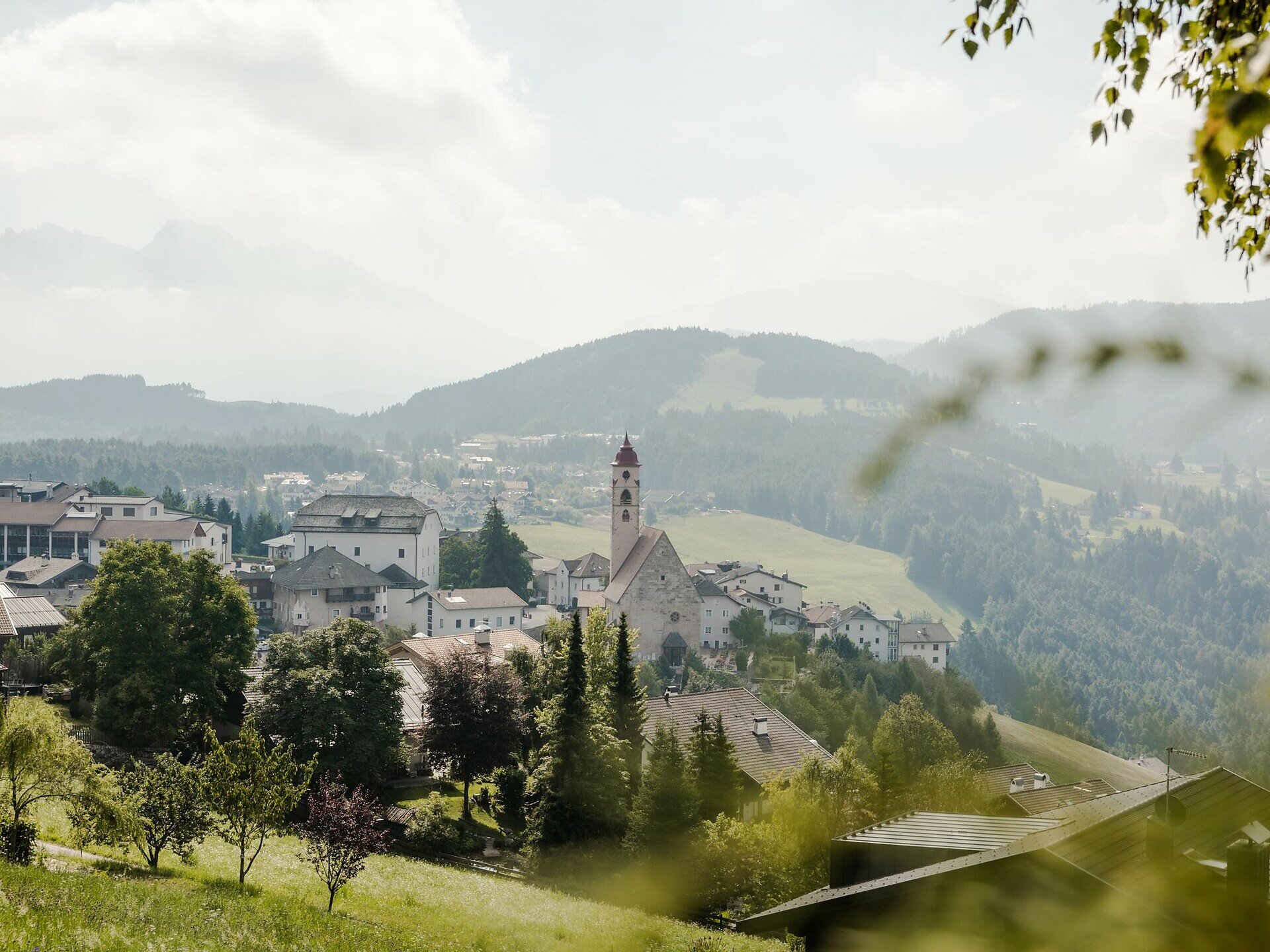
Through varied forests and meadows, and past Wölfl farm, hikers reach the stage destination in Deutschnofen | Nova Ponente.

Dining options: restaurant Schneiderwiesen, Wölfl farm, restaurant Stern, Rössl Café, restaurant Adler

Gallery
Categories
  • Hiking trail
Tags
  • Linear route
Route info
Intermediate
Distance
12,1 km
Activity time
5 h 17 min
Ascent
1.431 m
Descent
341 m
Physical effort
Scenary
Highest point
1.555 m
Lowest point
269 m
You might be interested in
Discover related tours
Karersee, Welschnofen
Circuit du roi Laurin
Distance 22,9 km
Activity time 3 h 40 min
Ascent 100 m
Descent 214 m
Status
open
Intermediate
Add to favourites
Welschnofen
Circuit de randonnée de Welschnofen au monument dédié à Élisabeth
Distance 7,9 km
Activity time 2 h 33 min
Ascent 467 m
Descent 457 m
Status
open
Intermediate
Add to favourites
Welschnofen
De Welschnofen au lac de Carezza
Distance 9,1 km
Activity time 3 h 09 min
Ascent 515 m
Descent 515 m
Status
open
Intermediate
Add to favourites
Steinegg
Circuit de randonnée sur le Rittersteig, de Steinegg au Wiedenhof
Distance 11,1 km
Activity time 3 h 45 min
Ascent 604 m
Descent 601 m
Status
open
Deutschnofen
Randonnée Weissenstein – Neuhütt – Auerleger
Distance 17,4 km
Activity time 5 h 15 min
Ascent 596 m
Descent 571 m
Status
open
Deutschnofen
Randonnée en famille : circuit panoramique
Distance 9,8 km
Activity time 2 h 30 min
Ascent 108 m
Descent 108 m
Status
open
© Gabriel Eisath
Neu
Der offizielle WhatsApp-Kanal von Eggental Tourismus!
Abonniere unseren Kanal

Verpasse keine Neuigkeiten mehr! Folge unserem neuen WhatsApp-Kanal und erhalte aktuelle News, Veranstaltungstipps und besondere Highlights aus dem Eggental direkt auf dein Handy.

Wir freuen uns auf dich!