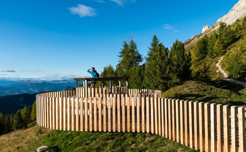
The snowshoe hike to the primeval settlement of Enzbirch leads through an idyllic winter landscape characterized by dense forests and vast snowfields. Enzbirch itself, an overgrown hilltop, bears witness to the historical importance of the region. The remains of an old rampart castle can be found here. Once here, a breathtaking panorama opens up with a view of the Adige Valley.
Nova Ponente, Piazza Gibitz (1273 m) - left towards Wölflhof farm - left onto the church trail [K] across Meadows and past beautiful farmsteads - on trail [10] to Höggerhof farm (1 h) - Schadnerhof farm - trail [R] - downhill to the rocky outcrop. Return: trail [10] - Wölflhof farm - trail [E5] - village centre (2 h).
Getting to the starting point of the tour by public transport is easy and convenient.
By public bus line:
- 181 from Bozen | Bolzano,
- 180 or 184 from Karersee | Lago di Carezza, Karerpass | Passo Costalunga, Welschnofen | Nova Levante
- 184 or 181 from Birchabruck | Ponte Nova
- 184 from Stenk, Eggen | Ega, Obereggen
- 184 or 181 from Weissenstein | Pietralba, Petersberg | Monte San Pietro, Deutschnofen | Nova Ponente
- 182 from Steinegg | Collepietra, Gummer | San Valentino
- 180 from Val di Fassa
Bus stop: Deutschnofen | Nova Ponente Church; online timetable search at www.suedtirolmobil.info/en/
Meeting point: Parking lot : https://goo.gl/maps/UwWfytu3jmCJTRhM6
By car:
Destination: Deutschnofen | Nova Ponente
Parking: parking lot Gibitz
Meeting point: Parking lot Gibitz square Deutschnofen | Nova Ponente: https://goo.gl/maps/UwWfytu3jmCJTRhM6
Parking: parking lot Gibitz
Meeting point: Parking lot Gibitz square Deutschnofen | Nova Ponente: https://goo.gl/maps/UwWfytu3jmCJTRhM6


