
Difficulty
EasyActivity time
0:38
Duration in hours
Distance
2.4
Distance in km
Status
open
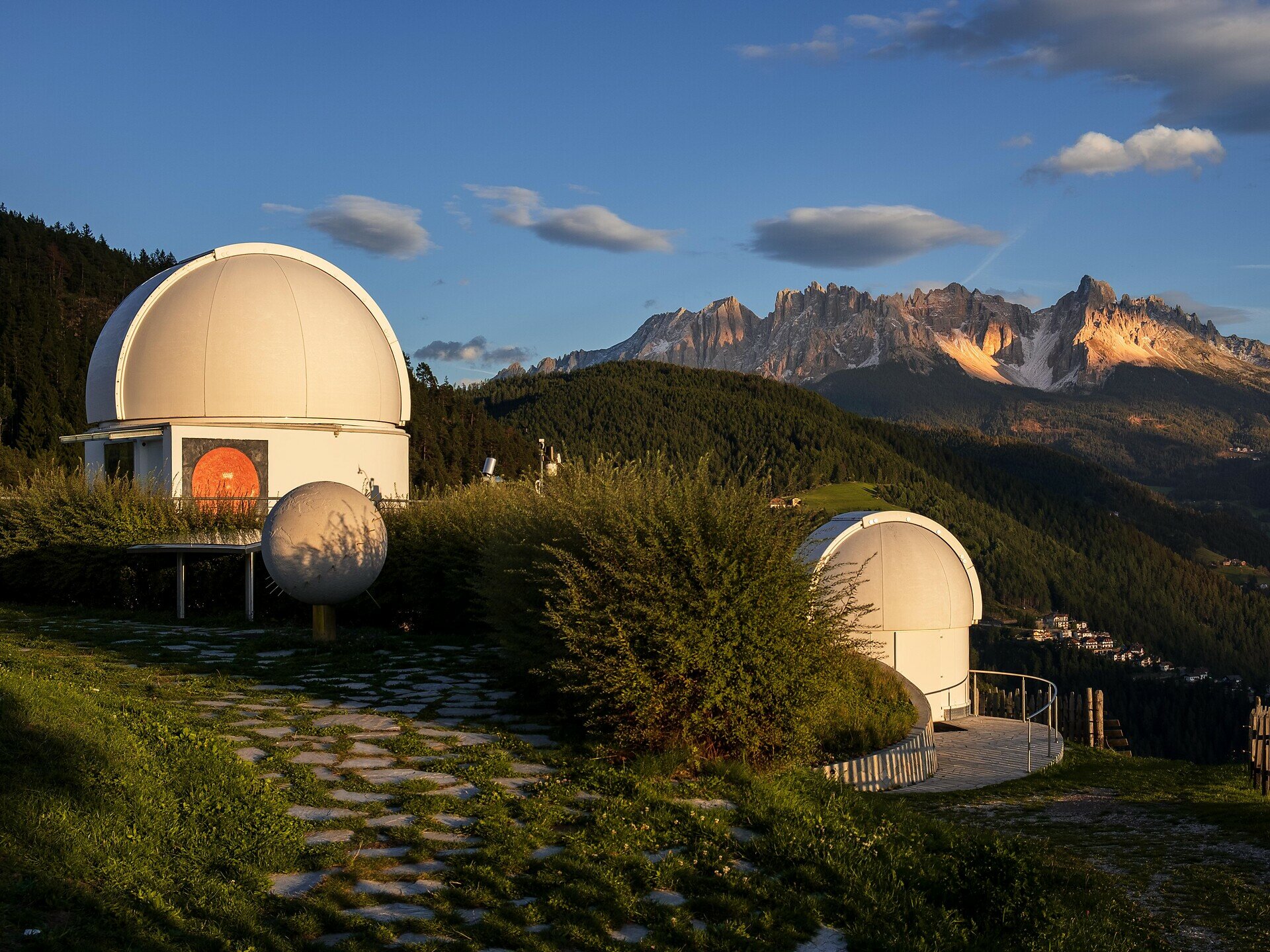
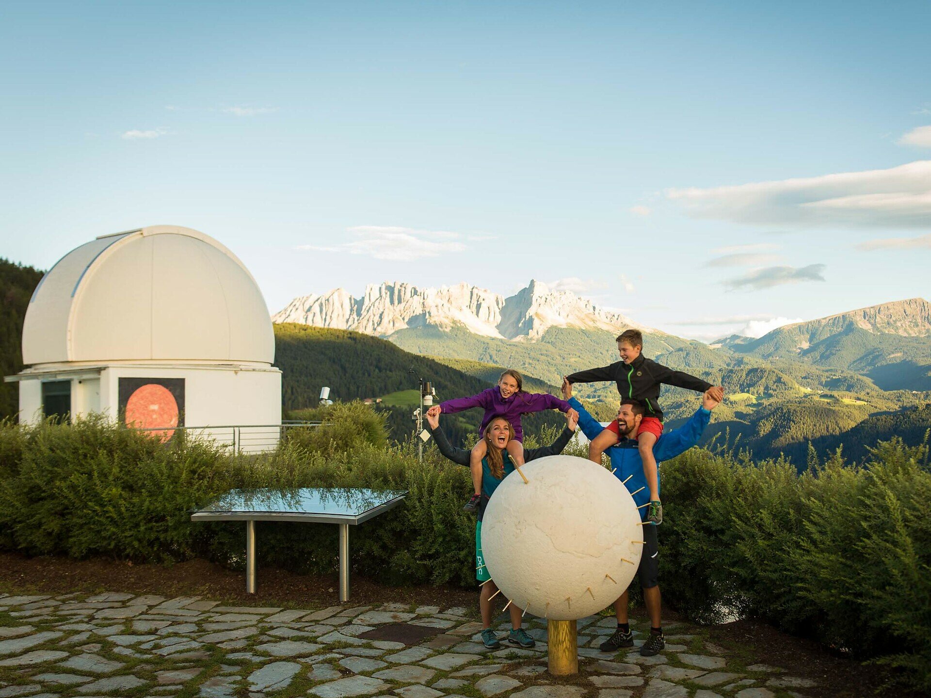
Short, family-friendly hike to the observatory in Obergummer – with views of the sky and the surrounding mountains.
Embark on a family-friendly hike to South Tyrol’s only observatory in Obergummer.Starting from the Schenken parking lot at the Lantschnay bus stop, a quiet, stroller-accessible asphalt road leads you directly to the „Max Valier“ observatory and the „Peter Anich“ solar observatory.Part of the trail follows the Planet Path, where you can explore our solar system at a scale of 1:1 billion.At the destination, not only are stellar views and views of the surrounding mountains awaiting you, but also the Unteregger inn with a playground and petting zoo – perfect for a relaxing break after a short yet celestial hike.


You might be interested in
Discover related tours


