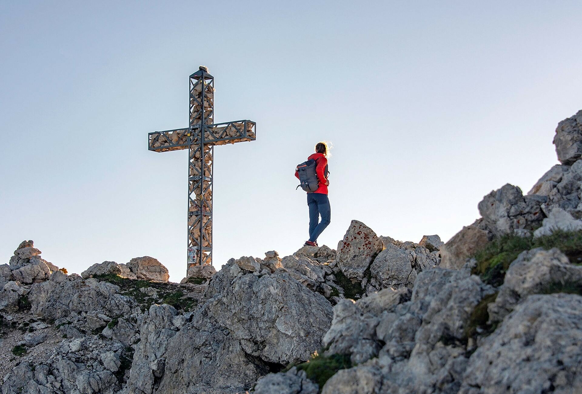
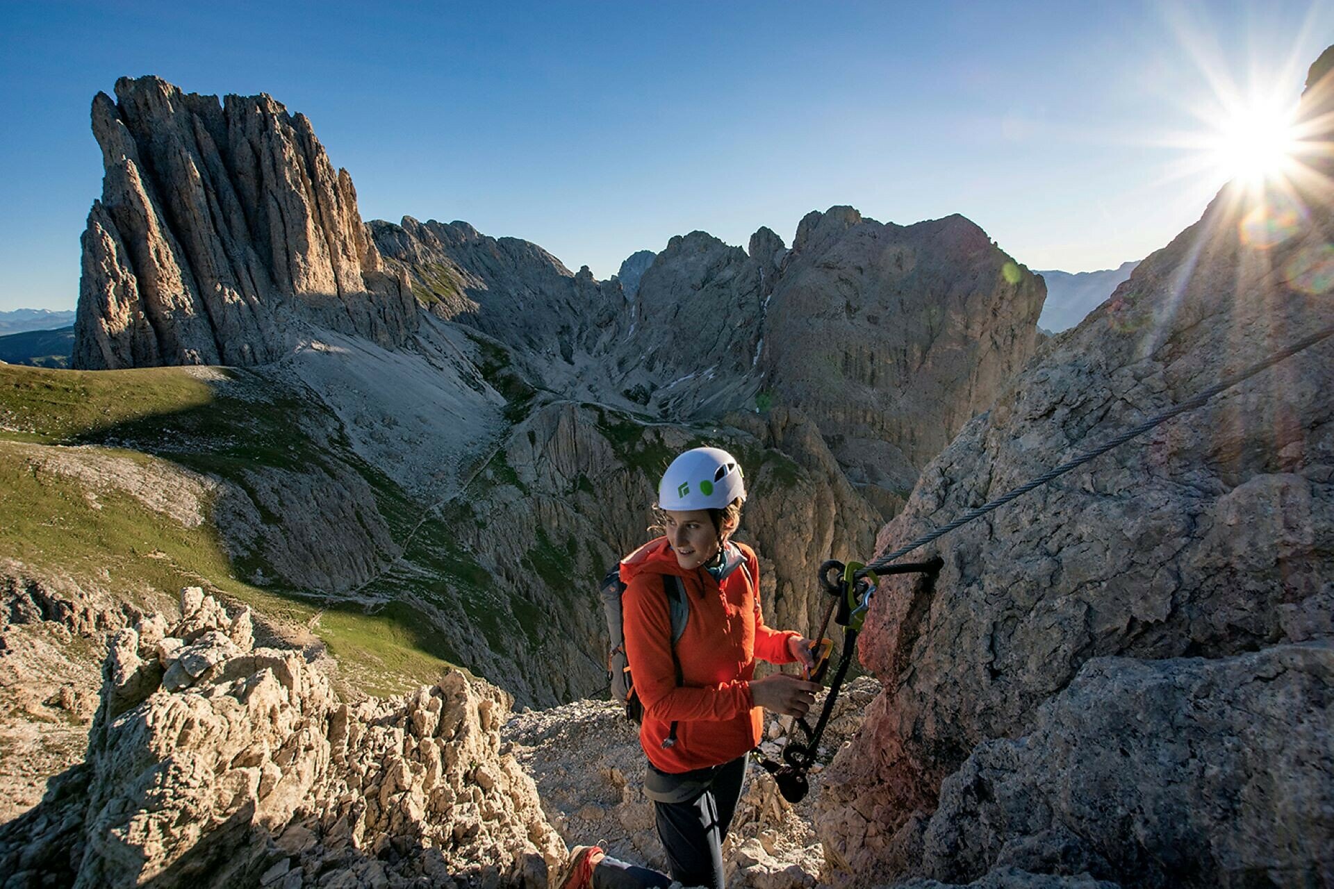
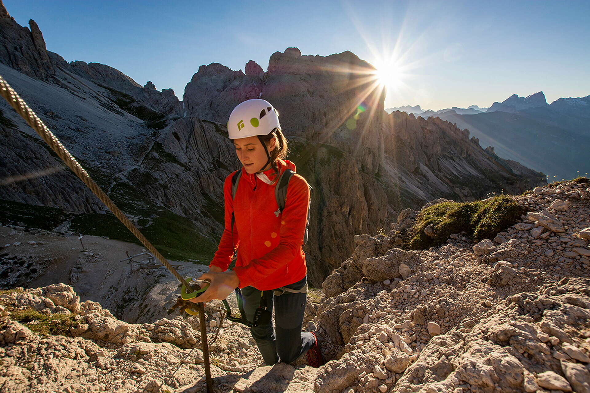
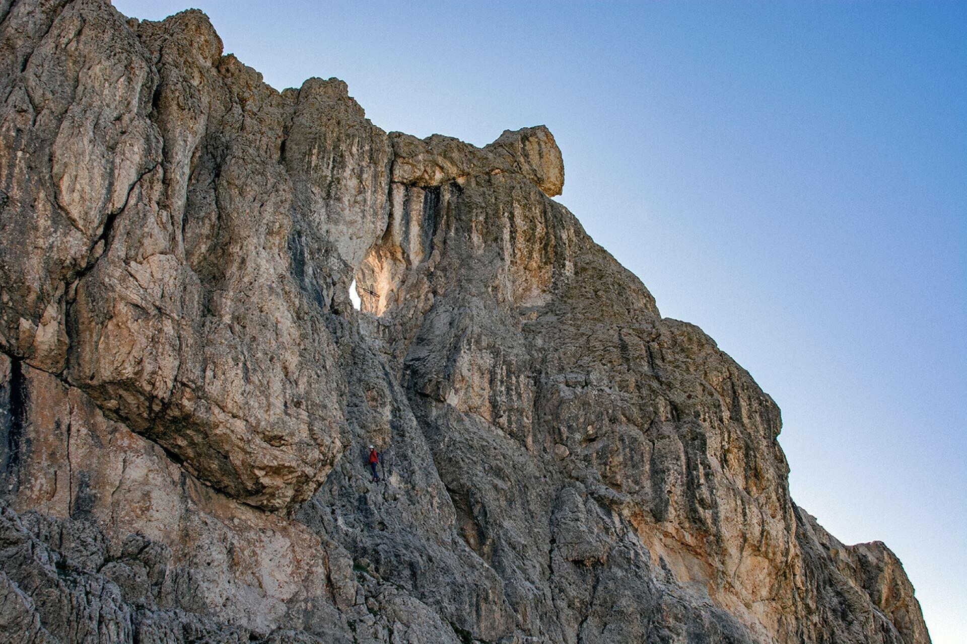
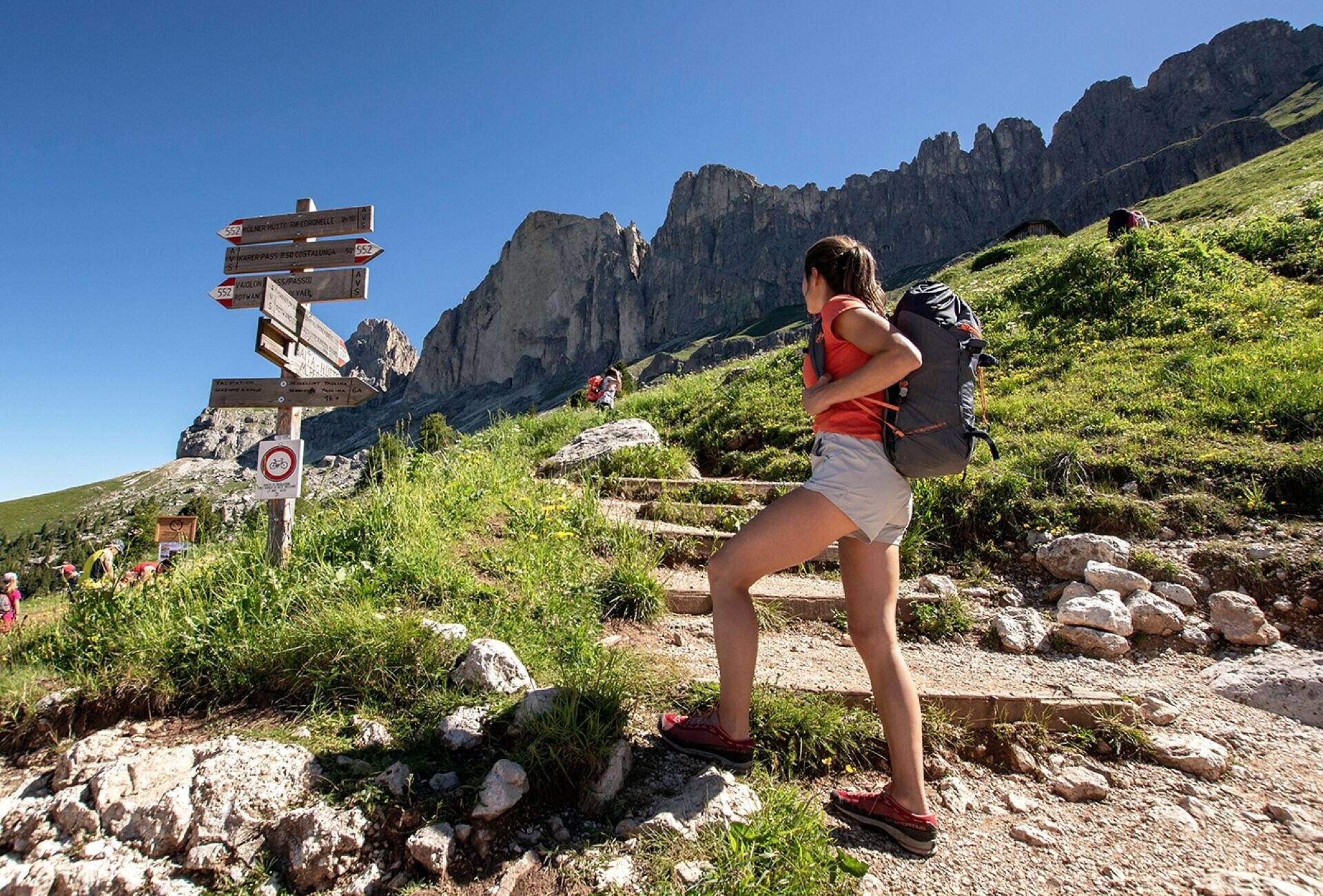
The Rotwand Via Ferrata leads to one of the most scenic summits in the Rosengarten | Catinaccio massif, combining breathtaking Dolomite landscapes with a varied and rewarding climbing experience. Even the approach offers fascinating views of the striking rock formations of the Rosengarten | Catinaccio, before the route ascends through steep rocky terrain and protected sections to the summit of Rotwand | Roda di Vael at 2,806 metres.
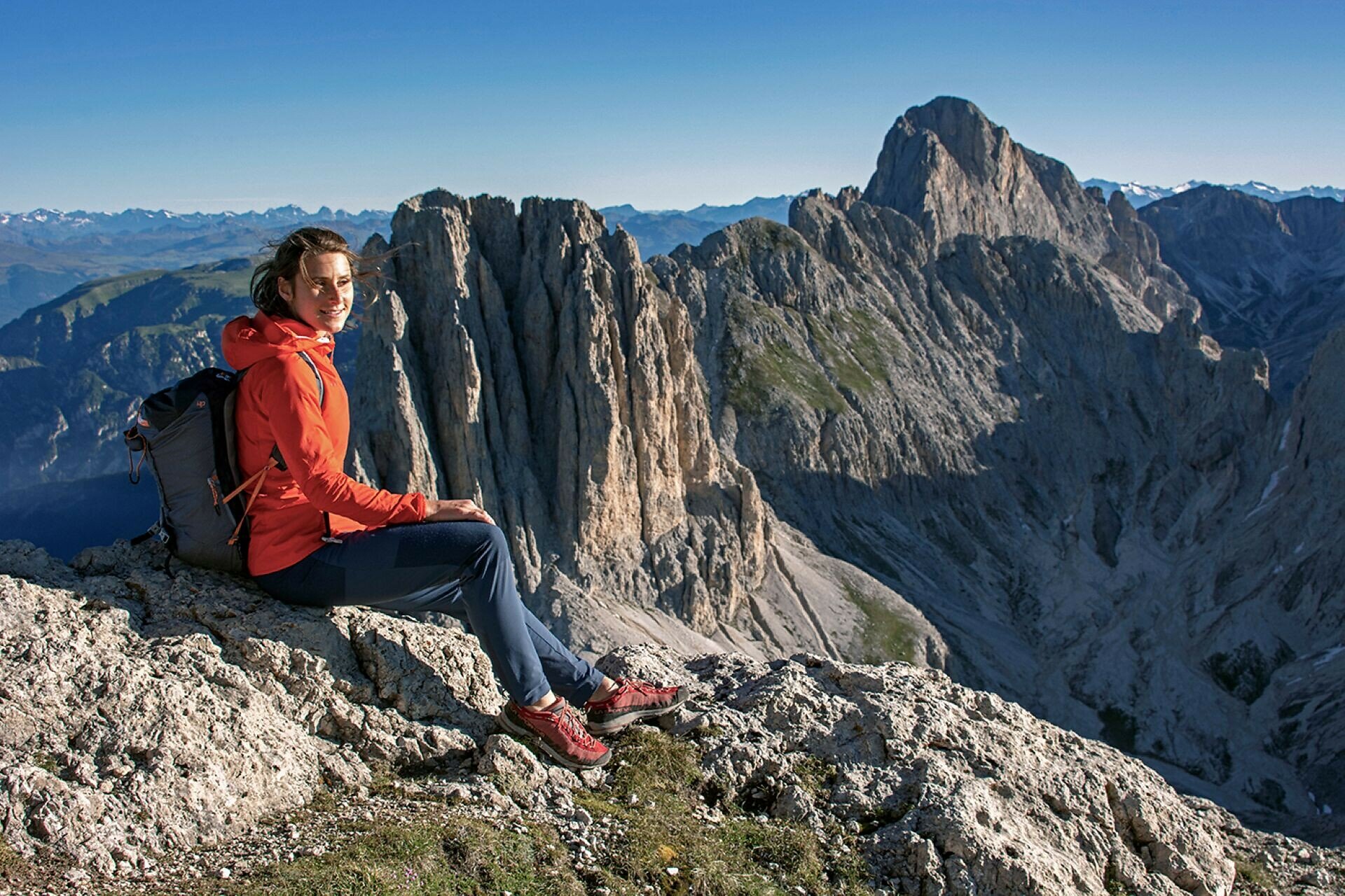
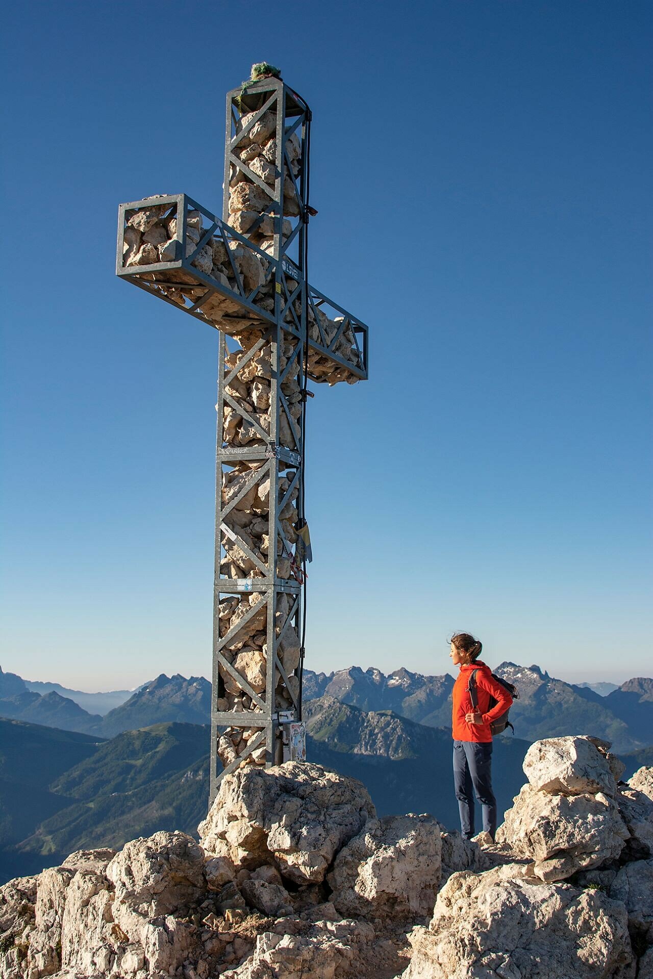
Once at the top, a spectacular panorama unfolds, stretching far beyond the surrounding Dolomites. From the towering cliffs of the Rosengarten | Catinaccio to Latemar and Schlern | Sciliar, and across the peaks of the southern Dolomites, the views are truly unforgettable. Its unique setting, impressive mountain scenery and varied route make the Rotwand Via Ferrata an outstanding alpine experience. Thanks to its relatively moderate difficulty, it is one of the most popular via ferratas in the Dolomites. Sure-footedness, a head for heights and full via ferrata equipment are nevertheless essential.