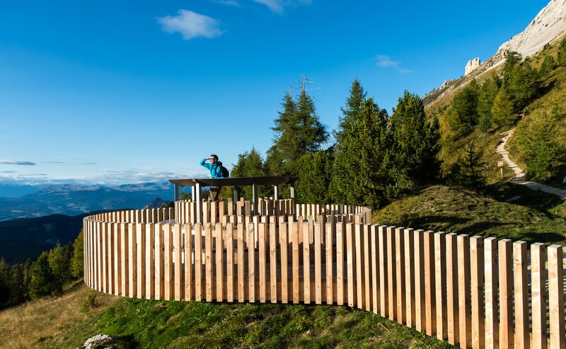
This stage takes you through one of the most iconic landscapes of the Dolomites. Right at the beginning, you'll encounter Lake Carezza, a deep blue mountain lake that, with the rugged peaks of the Latemar in the background, appears as a gem in the landscape. From there, you'll traverse dense coniferous forests and alpine meadows that provide an impressive panorama, which will accompany you all the way to Obereggen.
The third stage guides from the Karerpass | Passo di Costalunga among trail [17] to the meadows of the Latemar mountain. Along the trails [18A], [18] and [21] is reached the place Mitterleger | Radura di Mezzo (idyllic forest glade). It is located in the middle of a beautiful mountain meadow and is usually closed. From this point the trail [11] leads to Lake Carezza. Among the "Templweg" trail [8] until the detergency to trail [9], is reached the end of this stage at Obereggen.
Numerous possibilities for accommodation are at Obereggen.
Bus stops: Karerpass | Passo di Costalunga, Lake Carezza and Obereggen.
By public bus line:
- 180 from Bozen | Bolzano, Birchabruck | Ponte Nova
- 180 or 184 from Welschnofen | Nova Levante, Karersee | Carezza
- 184 from Weissenstein | Pietralba, Petersberg | Monte San Pietro, Deutschnofen | Nova Ponente, Stenk (or 181 and change 180)
- 184 from Obereggen, Eggen | Ega (or 184 and change 180)
- 187 from Steinegg | Collepietra, Gummer | San Valentino (or 182 and change 180)
- 180 from Val di Fassa
Bus stop: Karerpass | Passo Costalunga; online timetable search at www.suedtirolmobil.info/en/
By car:
Destination: Karersee | Carezza
Parking: parking lot Karerpass | Passo Costalunga


