
Category

Difficulty
IntermediateActivity time
6:45
Duration in hours
Distance
22.6
Distance in km
Status
open
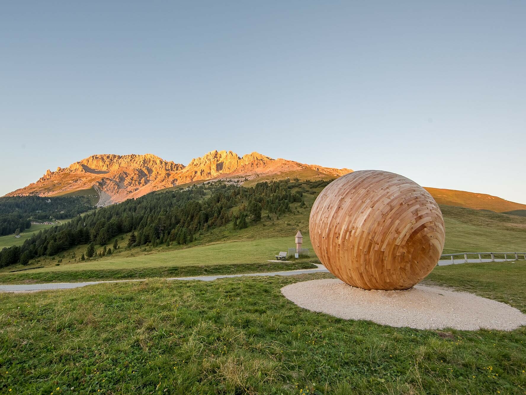
Scenic 4th stage of the Perlen Loop Trail: from Obereggen via Reiter Joch to Deutschnofen – perfect for seasoned hikers and lovers of alpine landscapes.
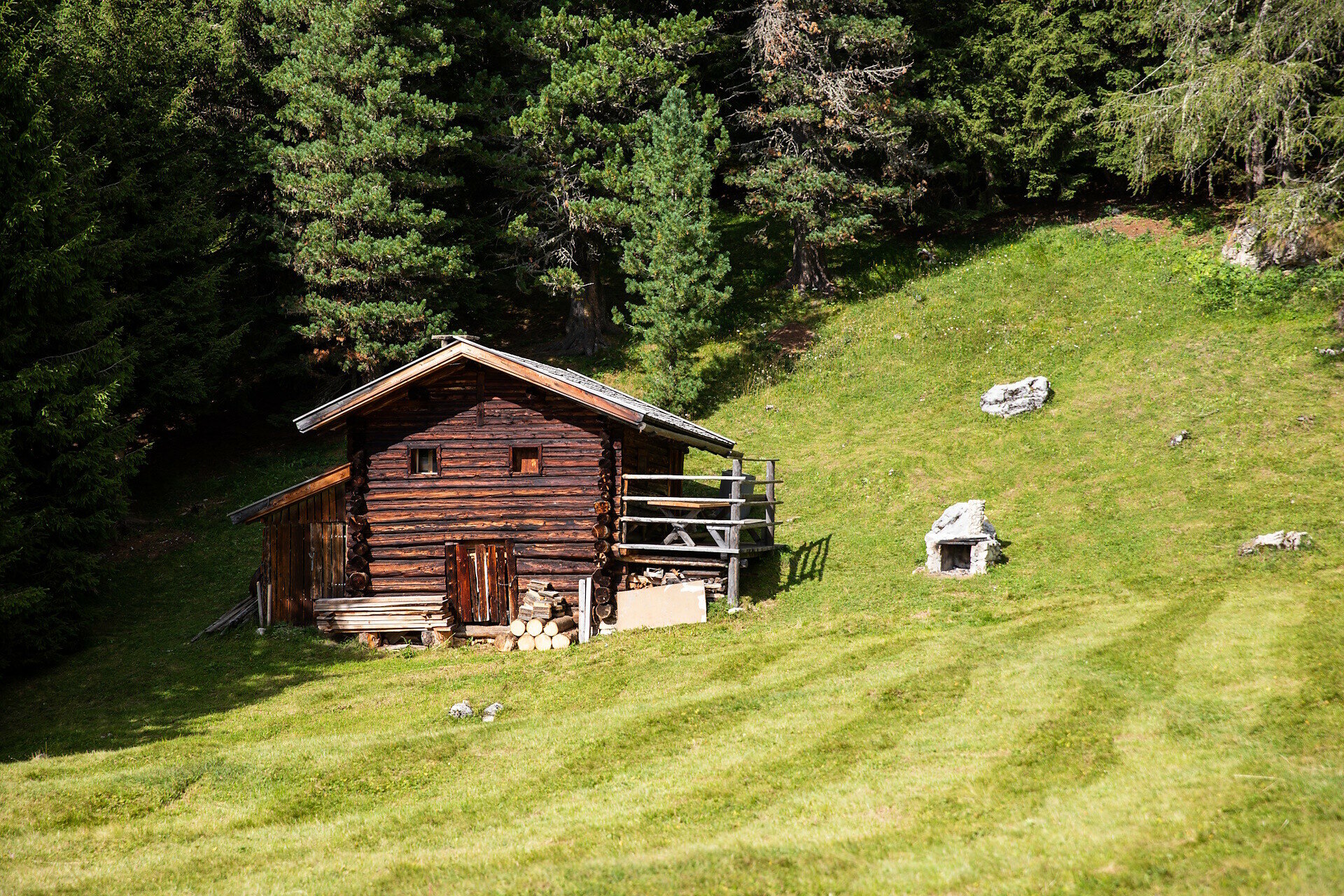
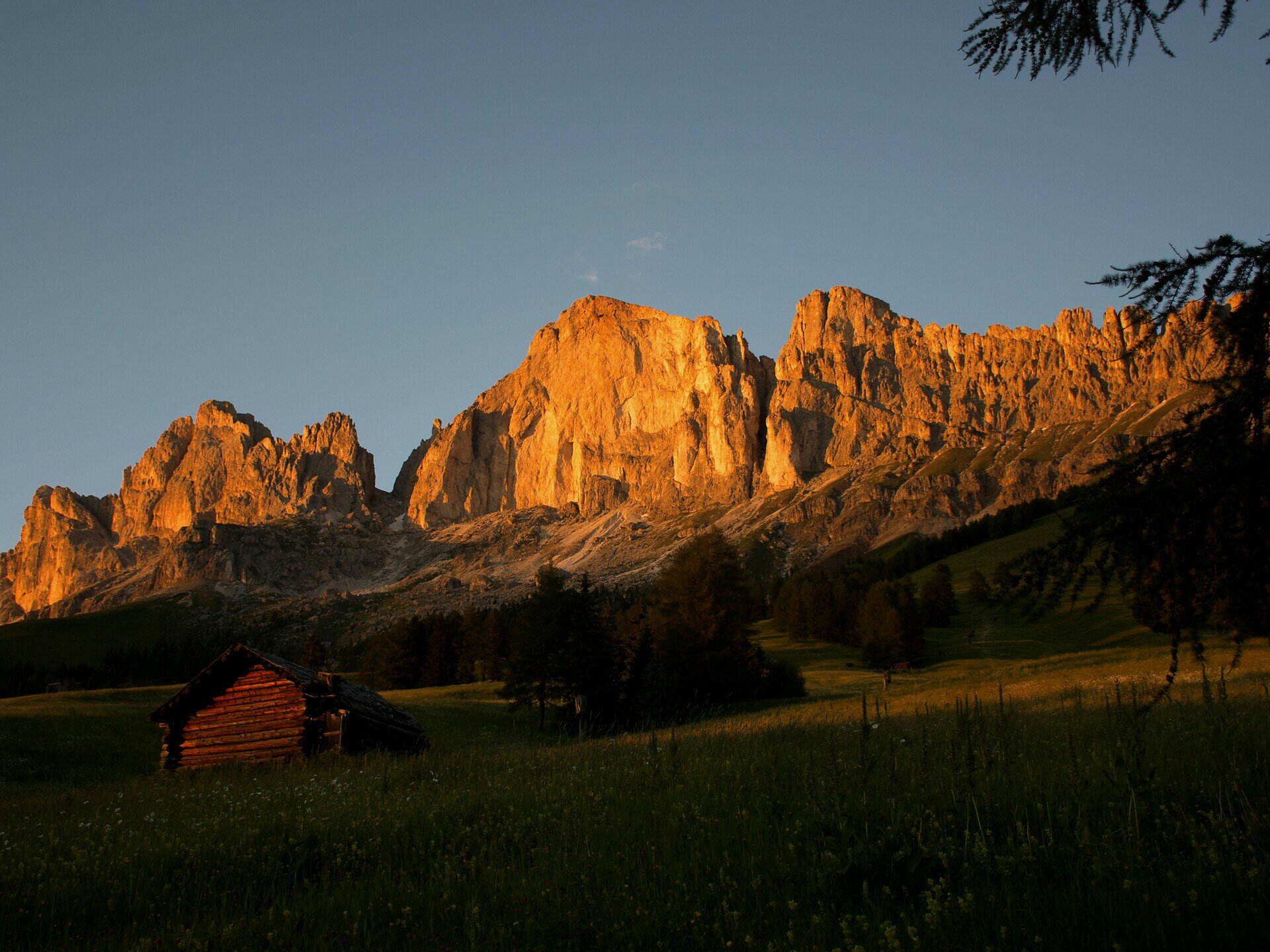
The fourth stage of the Perlen Loop Trail offers a rich variety of landscapes and unforgettable alpine moments. Starting in Obereggen, the trail winds through lush meadows, past traditional mountain huts, and into peaceful high-mountain terrain. The climb to the Reiter Joch is rewarded with sweeping views of the surrounding Dolomite peaks – a true highlight for nature lovers.
From there, the route gently descends through forest paths and sun-drenched clearings, leading to the welcoming village of Deutschnofen, where accommodation and rest stops await. This stage is ideal for experienced hikers seeking authenticity, panoramic views, and a deep connection with the mountains – a true gem of the trail.
You might be interested in
Discover related tours


