Top

Randonnée de cinq jours - Sentier circulaire des perles du Tyrol du Sud

Steinegg, Obereggen, Karersee, Deutschnofen, Welschnofen
Add to favourites
Category
Difficulty
Intermediate
Activity time
27:55
Duration in hours
Distance
88.1
Distance in km
Status
open
Discover picturesque villages, impressive mountain landscapes and real moments of pleasure on this five-day circular hike - a multi-day tour for nature lovers.

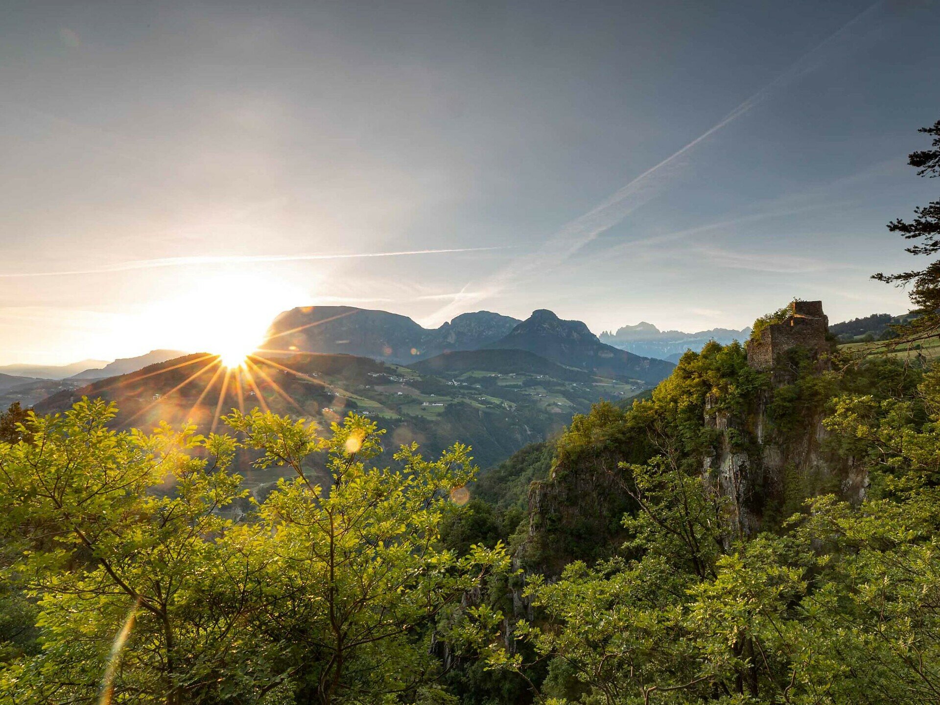
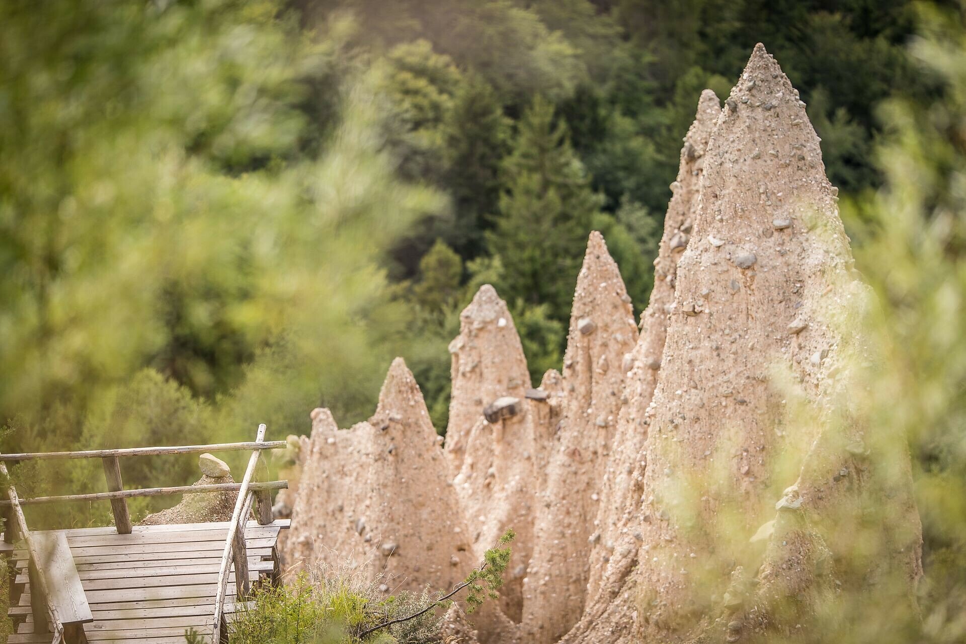
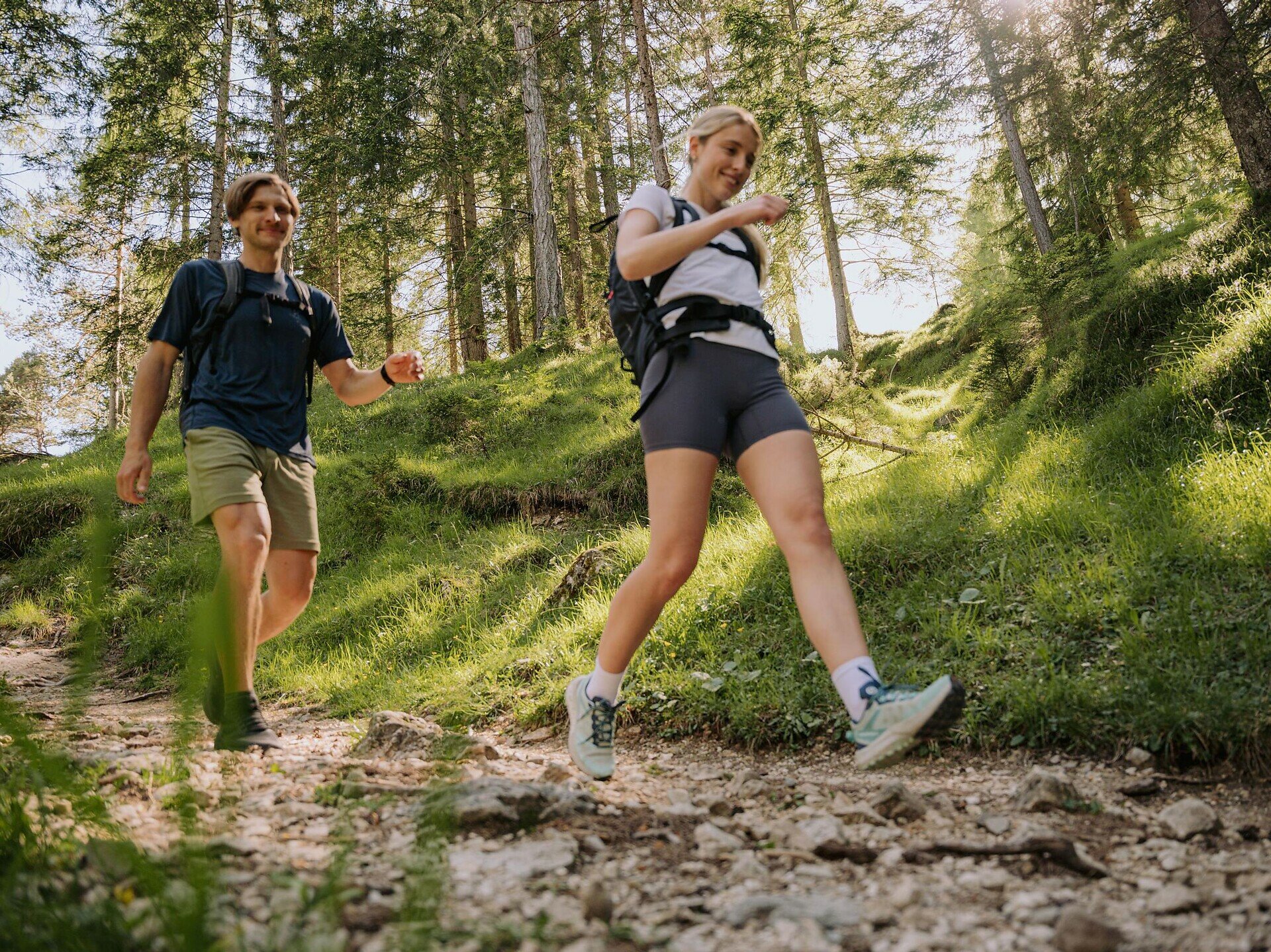
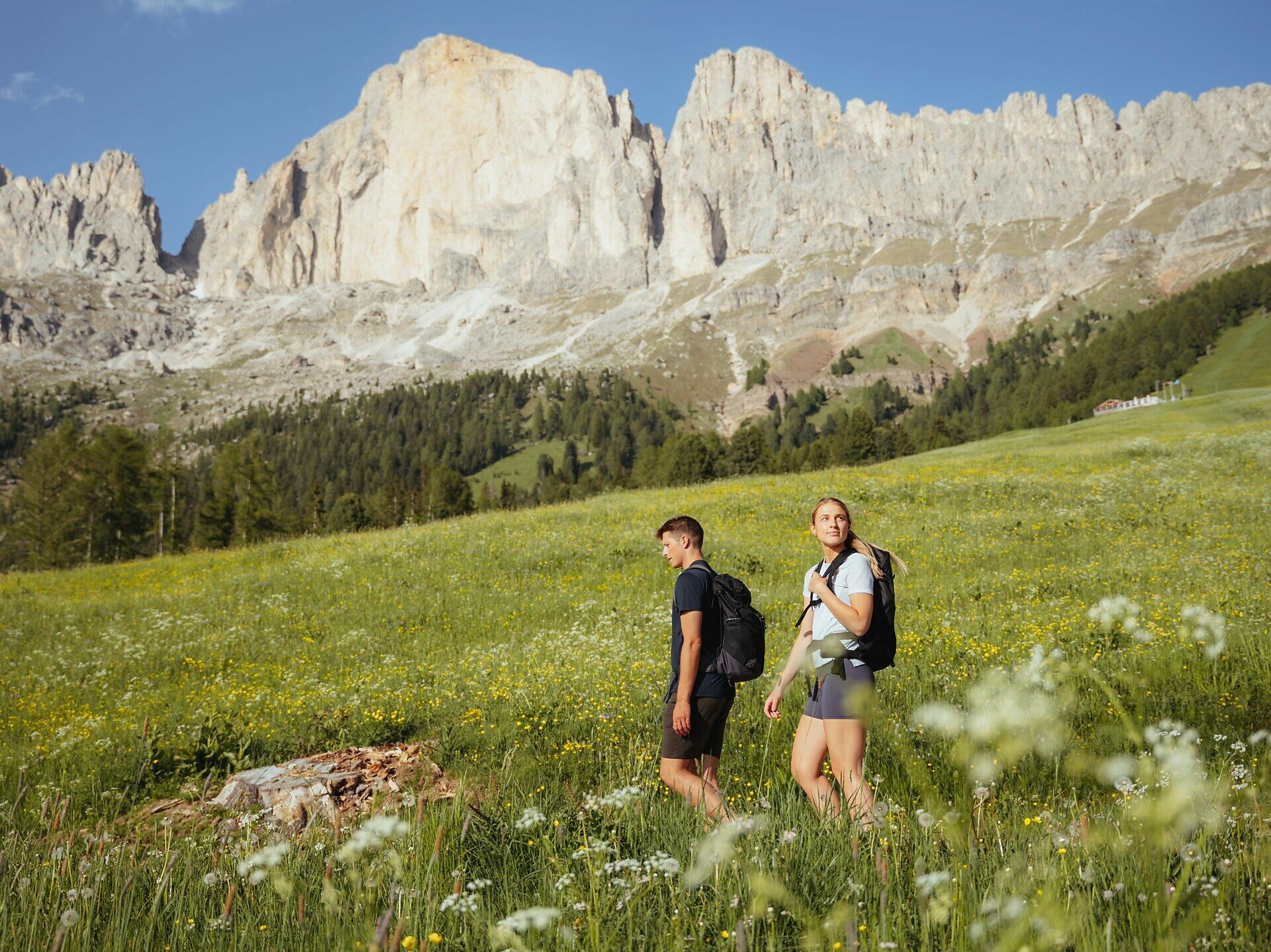
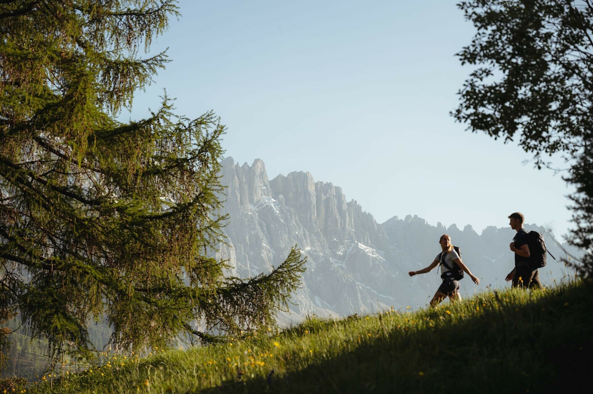
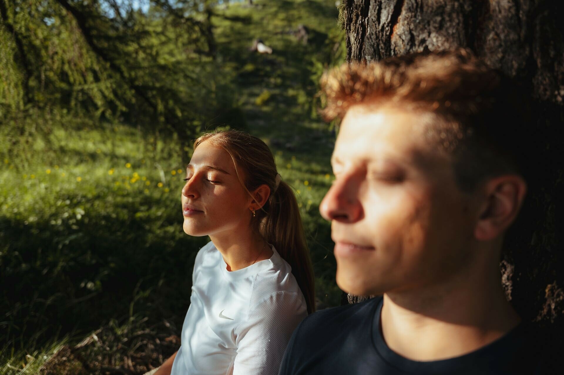
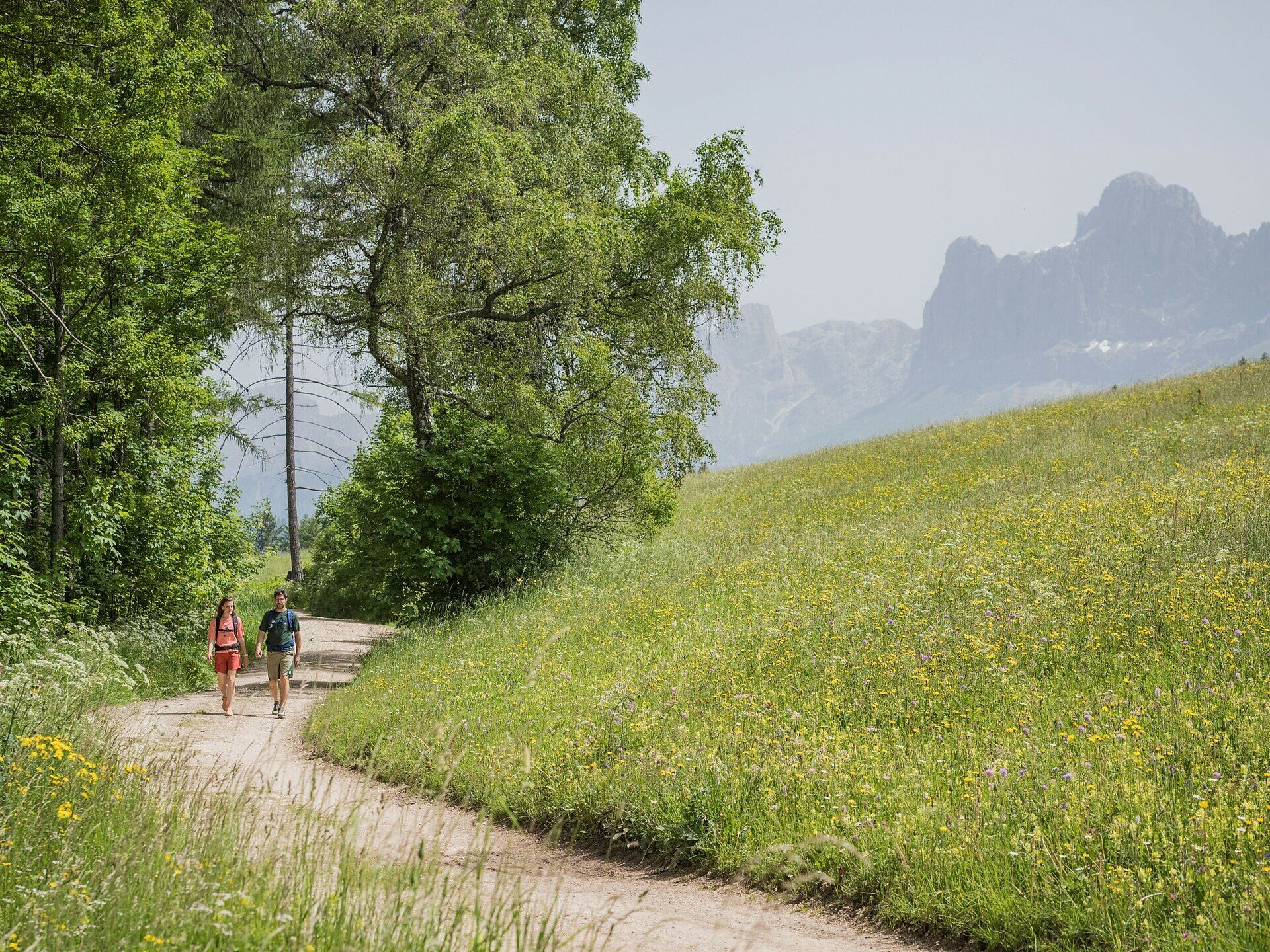
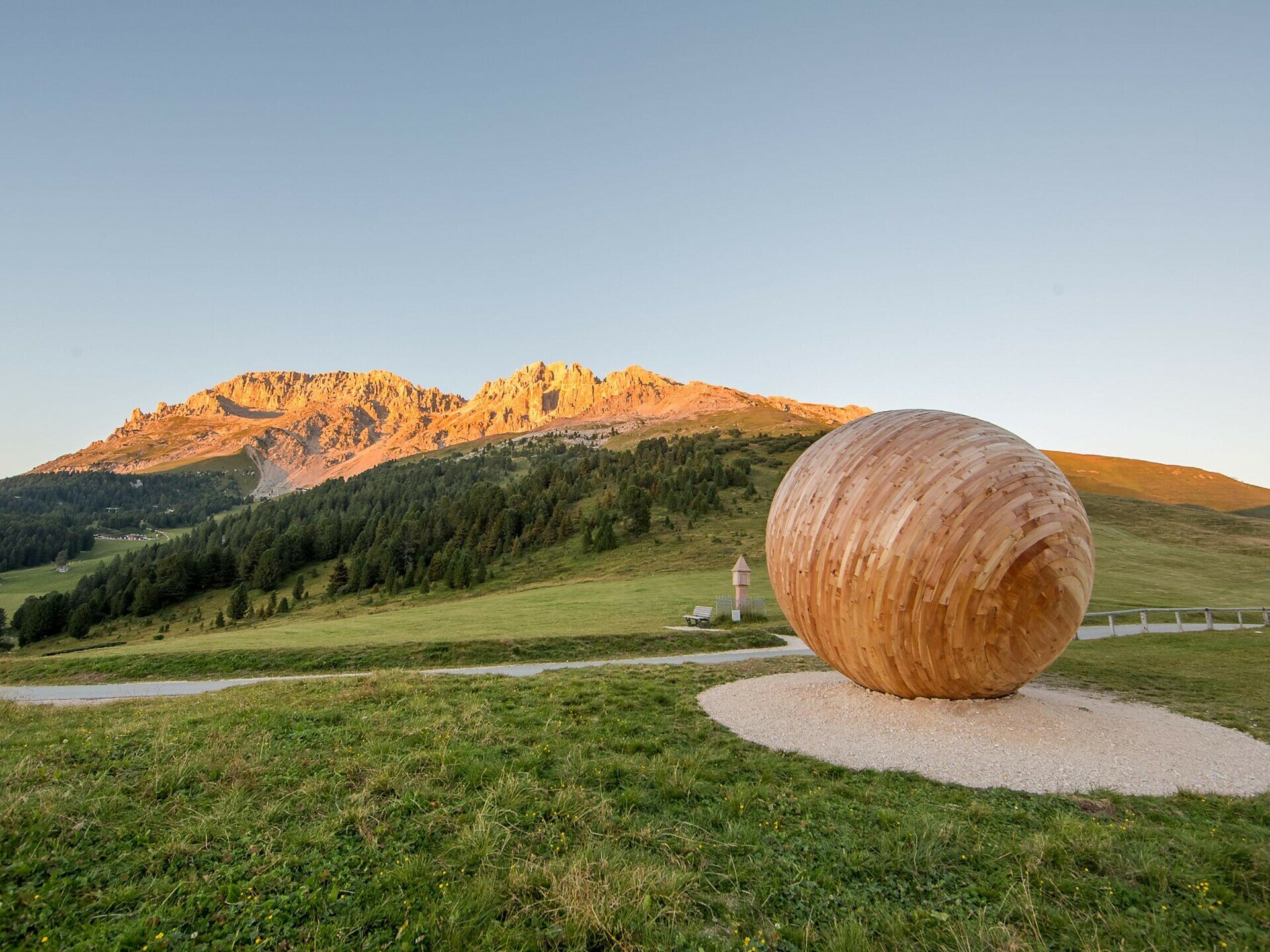
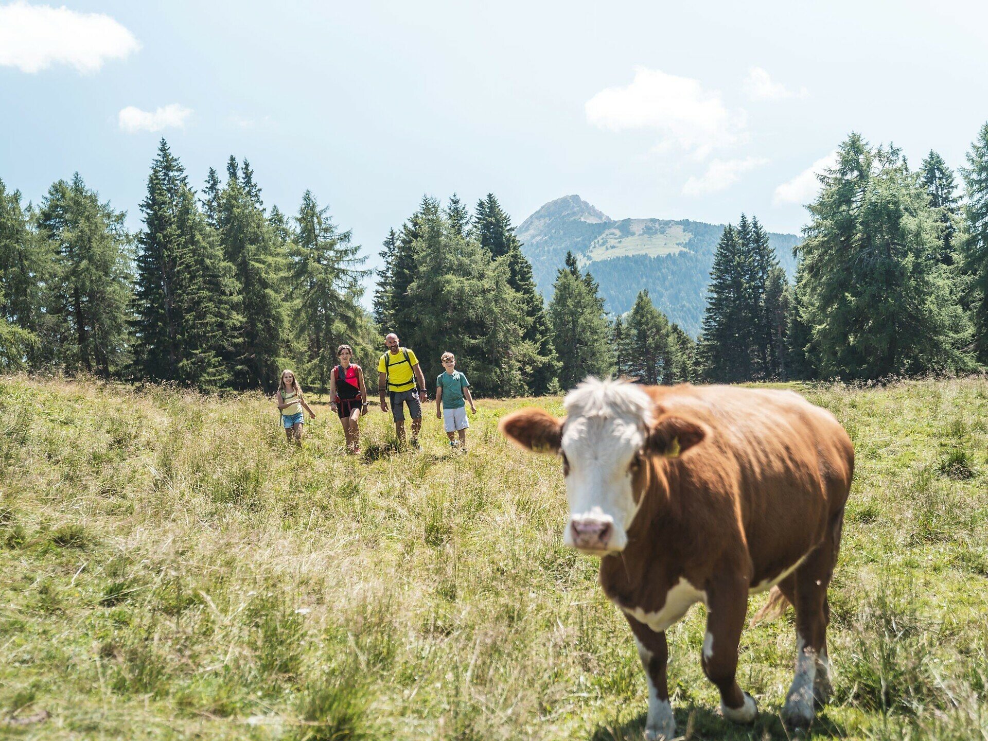
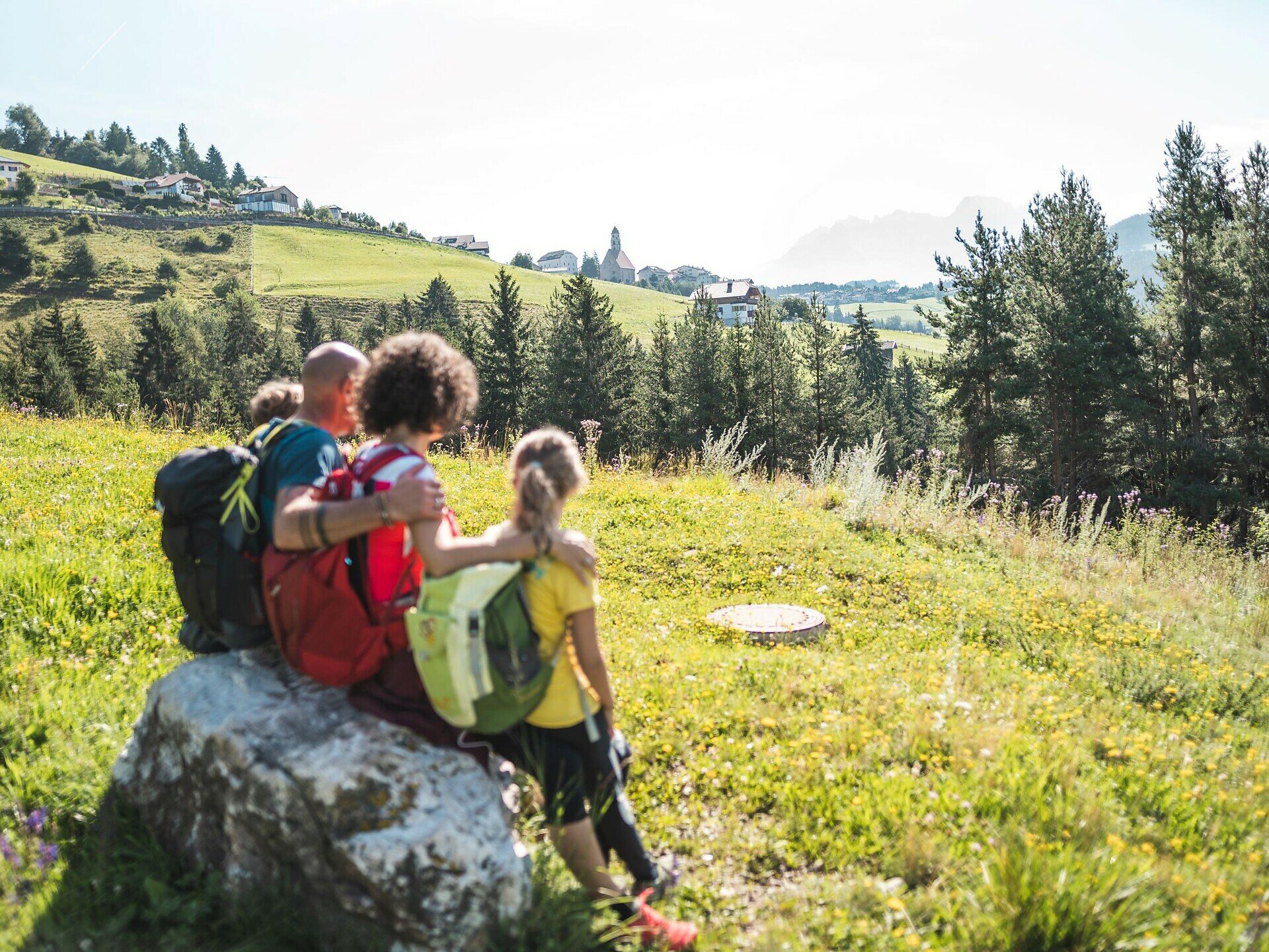
This circular trail connects the four picturesque villages of Deutschnofen | Nova Ponente, Welschnofen | Nova Levante, Steinegg | Collepietra, and Tiers | Tires, running below the impressive Dolomite massifs of the Rosengarten | Catinaccio and Latemar. For those looking for a multi-day hike without venturing into high-alpine terrain, this route is the perfect choice. The entire trail covers around 80 kilometers and can be completed in 4–5 daily stages. Each stage offers its own scenic highlights. The trail can be hiked in either direction and provides numerous variations as well as entry points for additional summit experiences. A particularly practical feature: at several points along the circular route, public transport connections are available, allowing you to plan the tour flexibly.

Tags
  • Round trip
Route info
Intermediate
Distance
88,1 km
Activity time
27 h 55 min
Ascent
3.534 m
Descent
3.534 m
Physical effort
Scenary
Highest point
1.993 m
Lowest point
283 m
You might be interested in
Discover related tours
Welschnofen, Karersee
Randonnée de quatre jours au Rosengarten/Schlern - 1re étape
Distance 12,7 km
Activity time 5 h 30 min
Ascent 1.221 m
Descent 88 m
Status
closed
Intermediate
Add to favourites
Obereggen, Deutschnofen
Randonnée de cinq jours Perlenrundwanderweg - 4e étape
Distance 22,6 km
Activity time 6 h 45 min
Ascent 623 m
Descent 840 m
Status
open
Karersee, Welschnofen
Randonnée de quatre jours Rosengarten/Schlern - 4e étape
Distance 16,7 km
Activity time 6 h 23 min
Ascent 731 m
Descent 2.023 m
Status
closed
Karersee, Welschnofen
Randonnée de quatre jours dans la région du Rosengarten et du Schlern
Distance 49,8 km
Activity time 17 h 49 min
Ascent 4.209 m
Descent 4.209 m
Status
closed
Intermediate
Add to favourites
Obereggen, Deutschnofen
Randonnée à étapes « Sentiero Italia » - Étape : Passo Lavazè-Obereggen
Distance 6,4 km
Activity time 2 h 20 min
Ascent 382 m
Descent 251 m
Status
closed
Deutschnofen, Welschnofen
Randonnée de plusieurs jours "Sentiero Italia" - Étape : Obereggen-Kölner Hütte
Distance 19,3 km
Activity time 6 h 32 min
Ascent 965 m
Descent 569 m
Status
closed