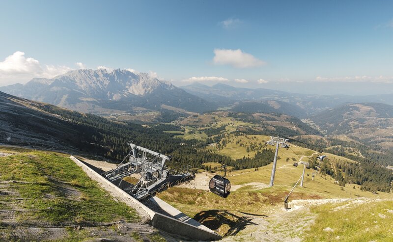
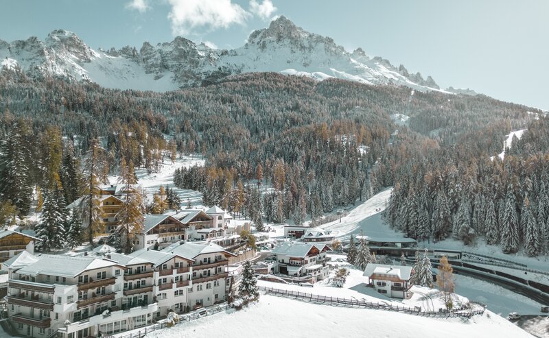
The fifth and final stage of the Perlen Loop Trail takes you from Deutschnofen down into the valley to Kardaun, offering a varied route full of natural beauty and cultural charm. Along the way, you pass picturesque villages such as St. Veit and Karneid, enjoying stunning views of the surrounding mountains and valleys. This stage is perfect for those who want to experience authentic South Tyrolean life, combining diverse landscapes with rich history. After your hike, cozy inns await you along with convenient bus connections.
- Linear route
The final stage starts in Deutschnofen. From there, follow the European long-distance trail E5 toward Wölflhof. After Wölflhof, descend along trail [3] to a junction where you turn onto trail [5A] leading to the Gasthof Sonne in the Eggental valley. Continue along the Perlen Trail to St. Veit, then Karneid, and finally follow the trail downhill to Kardaun.
Bus stops are available at all key points (Deutschnofen, Gasthof Sonne, Karneid, and Kardaun) for convenient return or onward travel.
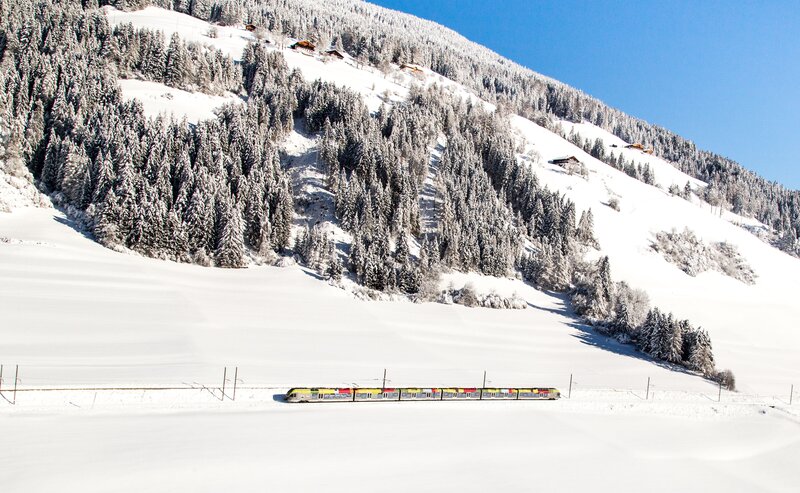
Getting to the starting point of the tour by public transport is easy and convenient.
By public bus line:
- 181 from Bozen | Bolzano
- 180 or 184 from Karersee | Lago di Carezza, Karerpass | Passo Costalunga, Welschnofen | Nova Levante
- 184 or 181 from Birchabruck | Ponte Nova
- 184 from Stenk, Eggen | Ega, Obereggen
- 184 or 181 from Weissenstein | Pietralba, Petersberg | Monte San Pietro, Deutschnofen | Nova Ponente
- 182 from Steinegg | Collepietra, Gummer | San Valentino
- 180 from Val di Fassa
Bus stop: Deutschnofen | Nova Ponente Church; online timetable search at www.suedtirolmobil.info/en/
Meeting point: Parking lot : https://goo.gl/maps/UwWfytu3jmCJTRhM6
By car:
Destination: Deutschnofen | Nova Ponente
Parking: parking lot Gibitz
Meeting point: Parking lot Gibitz square Deutschnofen | Nova Ponente: https://goo.gl/maps/UwWfytu3jmCJTRhM6
Parking: parking lot Gibitz
Meeting point: Parking lot Gibitz square Deutschnofen | Nova Ponente: https://goo.gl/maps/UwWfytu3jmCJTRhM6
