Top

Sentier géologique « Dolomites, patrimoine mondial » II

Karersee, Deutschnofen, Obereggen, Welschnofen
Add to favourites
Difficulty
Intermediate
Activity time
54:00
Duration in hours
Distance
198.2
Distance in km
Status
open
Categories
  • Hiking trail
Tags
  • Linear route
Suggested period
Jan
Feb
Mar
Apr
May
Jun
Jul
Aug
Sep
Oct
Nov
Dec

Dolomites World Heritage Geotrail II - from Bletterbach to the Sexten Dolomites

A hiking trail to discover the fossil archipelago of the  Dolomites UNESCO World Hetitage

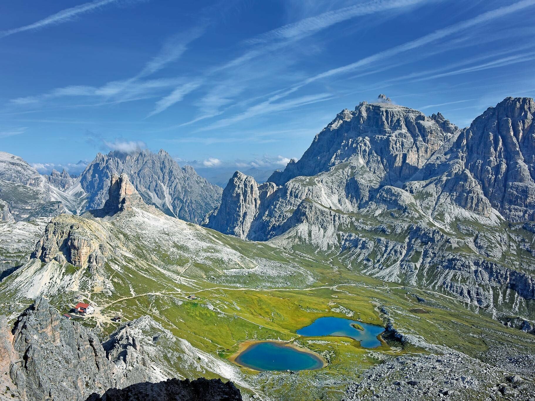
In 2009 UNESCO listed the Dolomites as a World Heritage Site for the aesthetic value of its landscape and for the scientific importance of its geology and geomorphology. From this arose the idea of designing a trekking route through the Dolomites that would present this spectacular history and beauty to hiker.

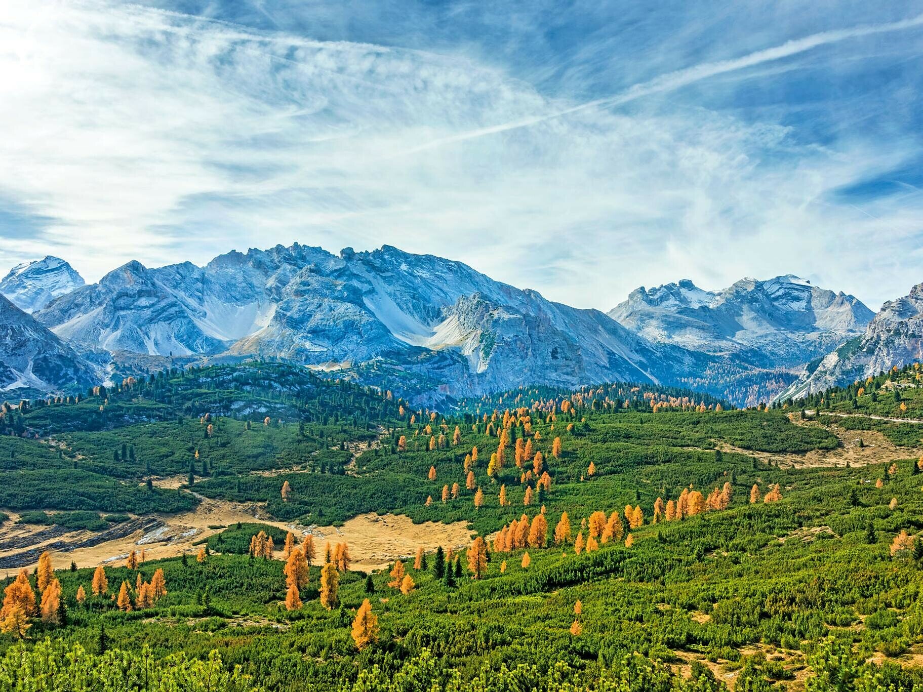
The Dolomites World Heritage Geotrail explores the entire Dolomites World Heritage Site in 47 stages. 10 of these stages run through the South Tyrolean Dolomites, traversing some of the most beautiful and geologically interesting mountain ranges in the region. There are breathtaking views to be had along a route that features plenty of opposites, while hiking is a unique experience along the well-marked, well-maintained paths.

The Geotrail is thus a combination of long-distance footpath and educational trail. The individual stages of this trail are also possible as day tours; you can almost always use public transport to get back to your starting point or to return from the day’s destination. The main challenge is nevertheless to attempt the Geotrail in ten days, taking the time to explore a unique world full of secrets and for a while escaping the hustle and bustle of our (over-)organised everyday world.

For more information, please visit: https://www.dolomitiunesco.info/attivita/dolomites-world-heritage-geotrail/?lang=de

Lenght
: 176 km

Duration: 10 days

Please check the opening hours of the huts and restaurants: www.seiseralm.it/huts
Gallery
Categories
  • Hiking trail
Tags
  • Linear route
Route info
Intermediate
Distance
198,2 km
Activity time
54 h 00 min
Ascent
11.589 m
Descent
11.825 m
Physical effort
Scenary
Highest point
2.671 m
Lowest point
1.214 m
You might be interested in
Discover related tours
Welschnofen
Circuit Frin – Kaiserstein
Distance 18,0 km
Activity time 3 h 30 min
Ascent 329 m
Descent 329 m
Status
open
Deutschnofen
Randonnée circulaire panoramique à Deutschnofen
Distance 9,0 km
Activity time 2 h 19 min
Ascent 117 m
Descent 116 m
Status
open
Deutschnofen
Randonnée en famille de Weissenstein à la Leger Alm de Petersberg
Distance 4,6 km
Activity time 1 h 20 min
Ascent 139 m
Descent 139 m
Status
open
Karersee, Welschnofen
Circuit de randonnée partant de la Frommer Alm jusqu'au refuge du Messnerjoch
Distance 5,2 km
Activity time 1 h 45 min
Ascent 266 m
Descent 266 m
Status
open
Deutschnofen
Randonnée en famille jusqu'à la petite église Sainte-Hélène
Distance 6,9 km
Activity time 1 h 45 min
Ascent 112 m
Descent 112 m
Status
open
Welschnofen
Circuit de la Stadlalm
Distance 7,7 km
Activity time 2 h 10 min
Ascent 78 m
Descent 247 m
Status
open
© Gabriel Eisath
Neu
Der offizielle WhatsApp-Kanal von Eggental Tourismus!
Abonniere unseren Kanal

Verpasse keine Neuigkeiten mehr! Folge unserem neuen WhatsApp-Kanal und erhalte aktuelle News, Veranstaltungstipps und besondere Highlights aus dem Eggental direkt auf dein Handy.

Wir freuen uns auf dich!