Dolomites World Heritage Geotrail II
Dolomites World Heritage Geotrail II - from Bletterbach to the Sexten Dolomites
A hiking trail to discover the fossil archipelago of the Dolomites UNESCO World Hetitage
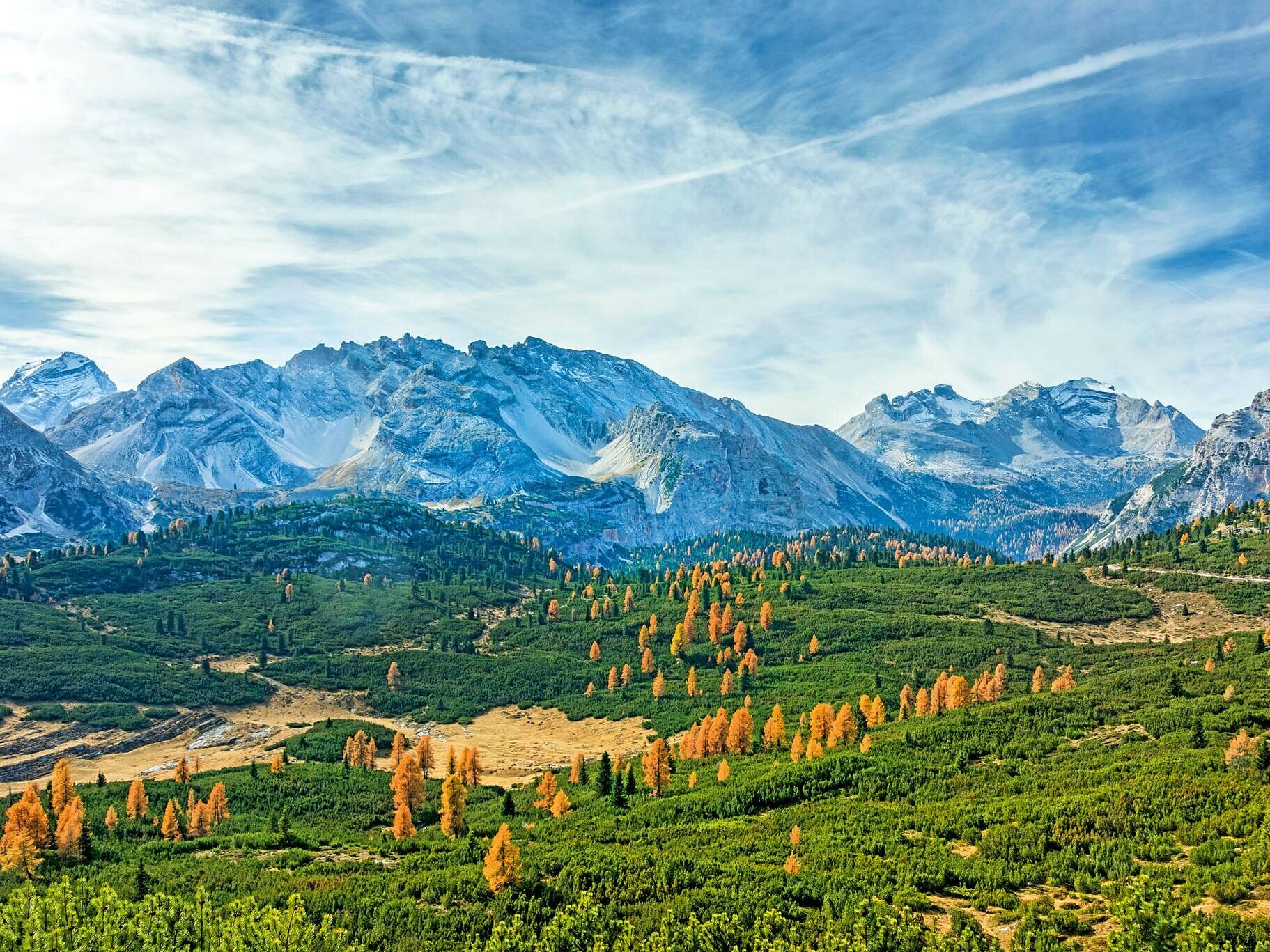
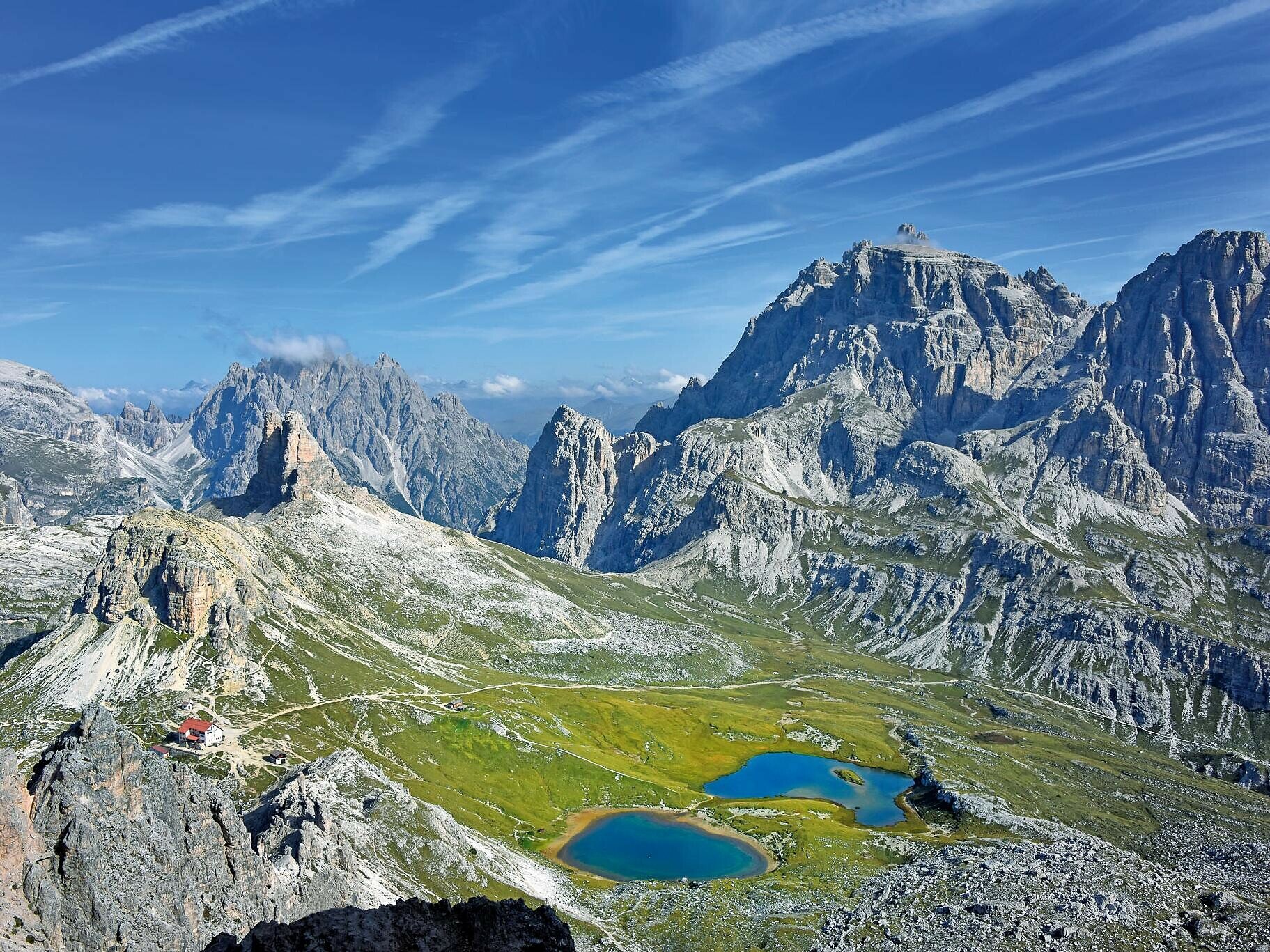
In 2009 UNESCO listed the Dolomites as a World Heritage Site for the aesthetic value of its landscape and for the scientific importance of its geology and geomorphology. From this arose the idea of designing a trekking route through the Dolomites that would present this spectacular history and beauty to hiker.
The Dolomites World Heritage Geotrail explores the entire Dolomites World Heritage Site in 47 stages. 10 of these stages run through the South Tyrolean Dolomites, traversing some of the most beautiful and geologically interesting mountain ranges in the region. There are breathtaking views to be had along a route that features plenty of opposites, while hiking is a unique experience along the well-marked, well-maintained paths.
The Geotrail is thus a combination of long-distance footpath and educational trail. The individual stages of this trail are also possible as day tours; you can almost always use public transport to get back to your starting point or to return from the day’s destination. The main challenge is nevertheless to attempt the Geotrail in ten days, taking the time to explore a unique world full of secrets and for a while escaping the hustle and bustle of our (over-)organised everyday world.
For more information, please visit: https://www.dolomitiunesco.info/attivita/dolomites-world-heritage-geotrail/?lang=de
Lenght: 176 km
Duration: 10 days
Please check the opening hours of the huts and restaurants: www.seiseralm.it/huts