Top

Winter hike at the Steinegg Ridgeway

Steinegg
Add to favourites
Difficulty
Intermediate
Activity time
3:00
Duration in hours
Distance
10.6
Distance in km
Categories
  • Winter hiking
Suggested period
Jan
Feb
Mar
Apr
May
Jun
Jul
Aug
Sep
Oct
Nov
Dec
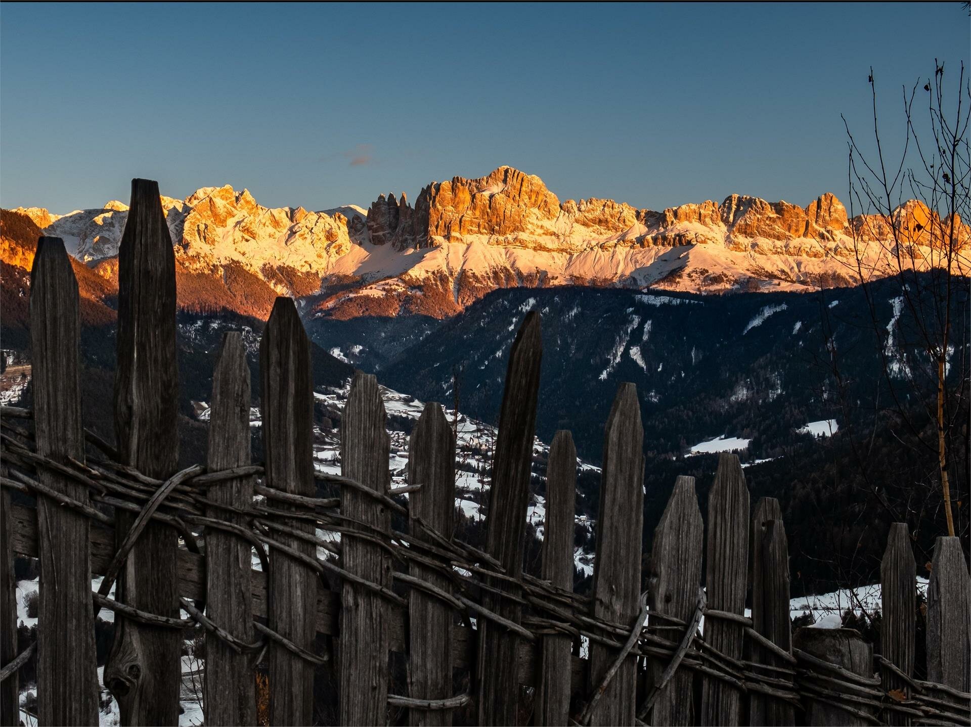
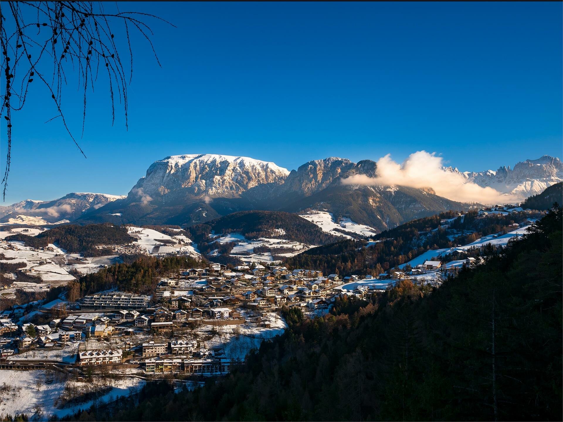
Through the snowy winter landscape along the Ridgeway of Steinegg with views of the mountains Rosengarten and Schlern

On this wintry hike along a section of the Steinegg Ridgeway, you will pass through forests to beautiful viewpoints with fantastic views of the Rosengarten and Schlern mountains. After about half of the circular hike, you come to the Oberölgart alpine hut - a nice place to stop for a bite to eat and drink, even in winter. Via a tarred road with very little traffic, you come to a very idyllic chapel in the middle of the forest, the ‘Kaserer Bild’ chapel. Continue along the tarred road through the woods to the starting point.

Inform yourself in advance about the opening hours and closing days of the Oberölgart alpine hut in winter.

Gallery
Categories
  • Winter hiking
Route info
Intermediate
Distance
10,6 km
Activity time
3 h 00 min
Ascent
209 m
Descent
210 m
Technical skills
Physical effort
Scenary
Highest point
1.281 m
Lowest point
1.179 m
You might be interested in
Discover related tours
Welschnofen
Randonnée hivernale du lac de Carez à l'alpage de Stadl
Distance 8,2 km
Activity time 2 h 15 min
Ascent 92 m
Descent 101 m
Status
open
Intermediate
Add to favourites
Deutschnofen
Randonnée hivernale vers le Wölflhof
Distance 5,4 km
Activity time 1 h 39 min
Ascent 72 m
Descent 215 m
Status
open
Intermediate
Add to favourites
Deutschnofen
Randonnée hivernale de Deutschnofen au Wölflhof en passant par Unterkaplun
Distance 7,4 km
Activity time 2 h 05 min
Ascent 194 m
Descent 195 m
Status
open
Welschnofen, Karersee
Randonnée hivernale en boucle de la Frommer Alm au refuge du Messnerjoch
Distance 4,9 km
Activity time 2 h 23 min
Ascent 352 m
Descent 352 m
Status
open
Intermediate
Add to favourites
Deutschnofen
Randonnée hivernale d'Obereggen aux alpages de l'Eggental
Distance 11,4 km
Activity time 3 h 40 min
Ascent 524 m
Descent 524 m
Status
open
Welschnofen
Sentier panoramique d'hiver à Welschnofen
Distance 5,0 km
Activity time 1 h 25 min
Ascent 143 m
Descent 143 m
Status
open
© Gabriel Eisath
Neu
Der offizielle WhatsApp-Kanal von Eggental Tourismus!
Abonniere unseren Kanal

Verpasse keine Neuigkeiten mehr! Folge unserem neuen WhatsApp-Kanal und erhalte aktuelle News, Veranstaltungstipps und besondere Highlights aus dem Eggental direkt auf dein Handy.

Wir freuen uns auf dich!