Find out in advance about the opening hours and closing days of the Unteregger farm inn in winter.
- Suitable for strollers
- Accessibility
- Refreshment stops available
- Family-friendly
- Way cleared
Special caution is advised here.
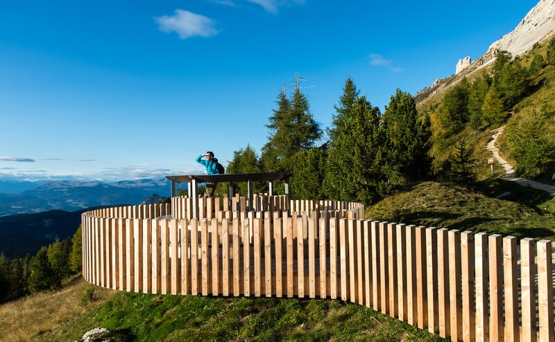
The winter hike starts at the Schenken car park or at the Lantschnay bus stop in Obergummer|San Valentino di Sopra. On the less frequented access road, you walk through the winter landscape along a part of the Planet Path and at the same time trail [5A] to the farm Unteregger. Here you will also find the Max Valier observatory and the Peter Anich solar observatory. A fantastic panoramic view of the surrounding mountains awaits you here.
The way back is via the outward route.
Getting to the starting point of the tour by public transport is easy and convenient.
By public bus line:
- 182 from Bozen | Bolzano
- 187 from Welschnofen | Nova Levante
- 180 from Karersee | Lago di Carezza, Karerpass | Passo Costalunga, Val di Fassa*
-184 from Obereggen, Eggen | Ega*
- 181 from Weissenstein | Pietralba, Petersberg | Monte San Pietro, Deutschnofen | Nova Ponente, Stenk*
- 187 or 182 from Steinegg | Collepietra
*change in Birchabruck to the busline 182
Bus stop: Obergummer | San Valentino di Sopra "Lantschnay";
online timetable search at South Tyrol Mobility
Starting point: Bus stop Lantschnay
By car:
Destination: Obergummer | San Valentino di Sopra
Parking: Parking lot Schenken
Starting point: Parking lot Schenken
Starting point: Parking lot Schenken
Good hiking equipment and hiking boots


