

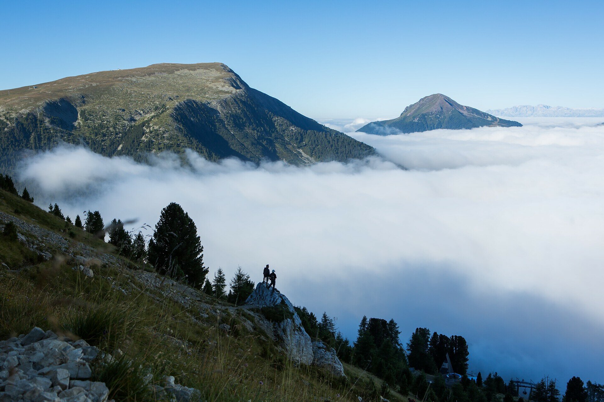
The hike to Zanggen – also known as Pala di Santa – is a true gem for those who love panoramic views, varied landscapes, and an authentic mountain experience. The trail leads through open alpine meadows, light forests, and scenic ridgelines, all the way up to the summit, where a breathtaking 360° view of the Dolomites awaits.
Zanggen not only offers spectacular vistas but also a true sense of elevation – far from daily life, deeply connected to nature. After reaching the top, the circular route continues over a picturesque mountain pass and descends to a welcoming alpine hut, perfect for a well-earned rest. From there, the trail gently leads back to the starting point.
This hike is ideal for experienced hikers seeking an active and rewarding mountain day – full of peace, variety, and unforgettable views.
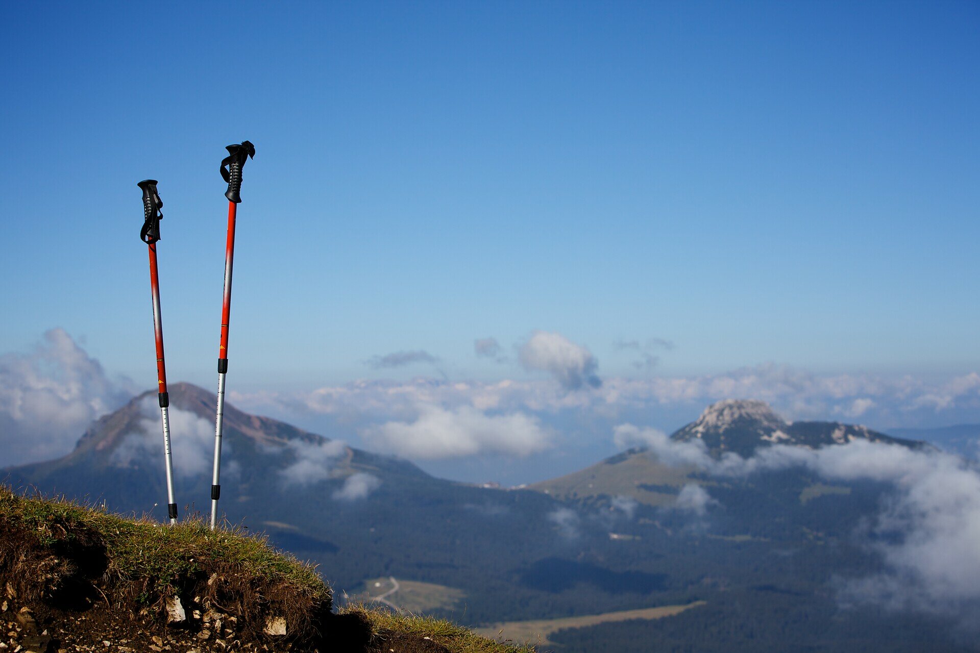
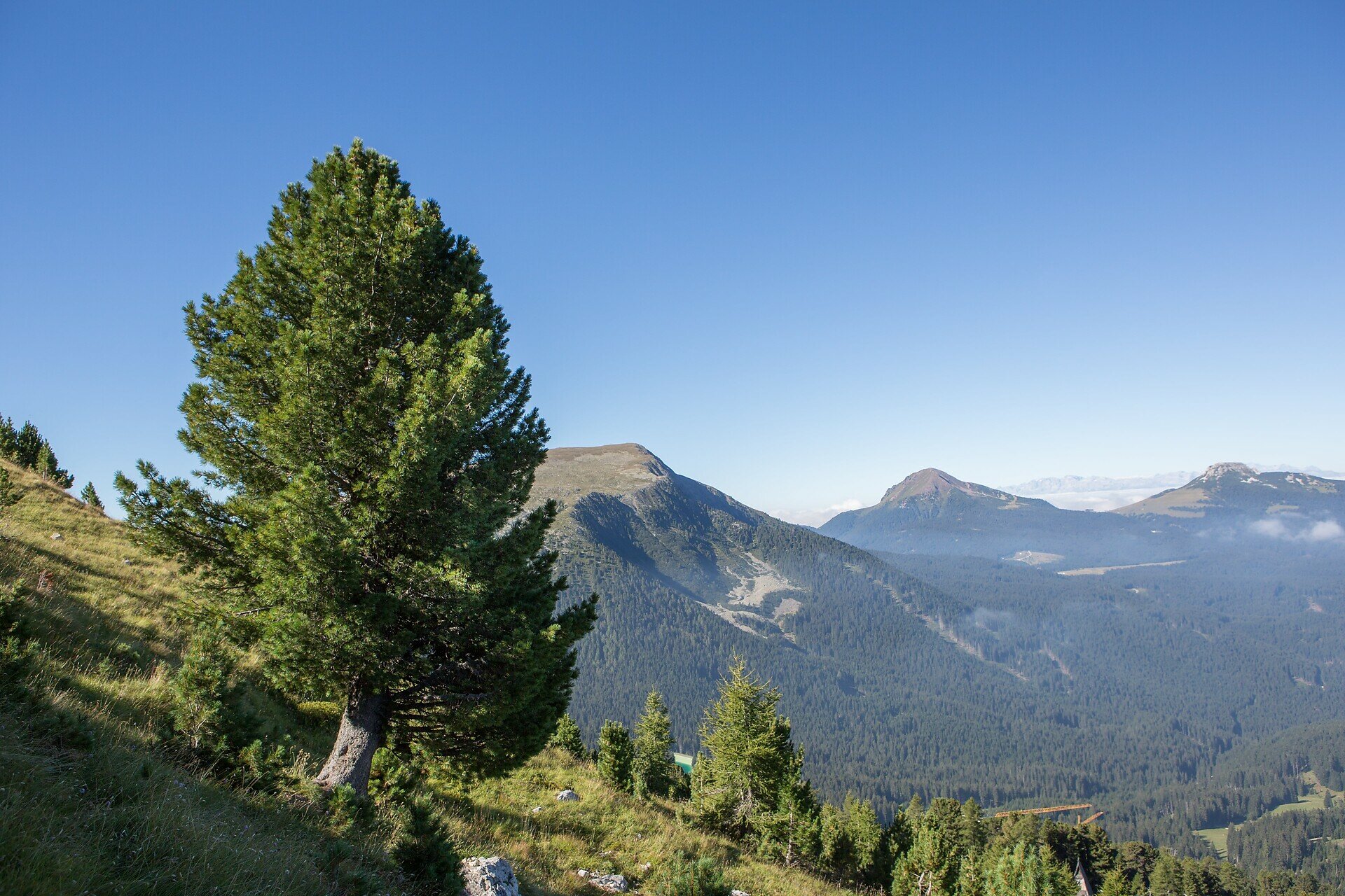
The hike begins at the Lavazè Pass parking lot (1,802 m). From there, follow trail [574], which leads through open meadows and sparse forests. The trail steadily climbs to the summit of Zanggen (2.458 m), offering panoramic views of the Dolomites and the Eggental valley.
From the summit, descend on the opposite side toward the Reiterjoch (Passo di Pampeago). At the pass, take trail [9], which gently descends to the Daiano mountain hut – an excellent spot for a relaxing break.
From the hut, continue along trail [11] back to the Lavazè Pass parking area, completing the loop.
Getting to the starting point of the tour by public transport is easy and convenient
By public bus line:
- 180 or 181 and change to 189 from Bozen | Bolzano
- 180 or 184 and change to 189 from Karersee | Lago di Carezza, Karerpass | Passo Costalunga, Welschnofen | Nova Levante
- 184 and change to 189 from Birchabruck | Ponte Nova, Stenk, Eggen | Ega, Obereggen
- 184 and change to 189 from Weissenstein | Pietralba, Petersberg | Monte San Pietro, Deutschnofen | Nova Ponente
- 182 and change to 189 from Steinegg | Collepietra, Gummer | San Valentino
- 180 and change to 189 from Val di Fassa
Bus stop: Passo Lavazè; online timetable search at: www.suedtirolmobil.info/en/
By car:
Destination: Passo Lavazè
Parking: Parking lot Lavazè
Meeting point: Passo Lavazè: https://goo.gl/maps/oe2Pnprs3RWaX1Xh7
Parking: Parking lot Lavazè
Meeting point: Passo Lavazè: https://goo.gl/maps/oe2Pnprs3RWaX1Xh7


