Top

Hike Lavazè-Zanggen-Pampeago Pass

Obereggen, Deutschnofen
Add to favourites
Category
Difficulty
Difficult
Activity time
4:25
Duration in hours
Distance
11.3
Distance in km
WSEN
Suggested period
Jan
Feb
Mar
Apr
May
Jun
Jul
Aug
Sep
Oct
Nov
Dec
Loop hike to Zanggen peak: stunning Dolomite views, scenic summit rest & cozy mountain hut. Ideal for experienced hikers in good physical condition.

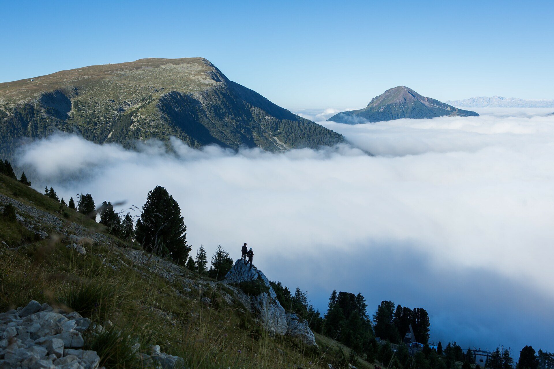
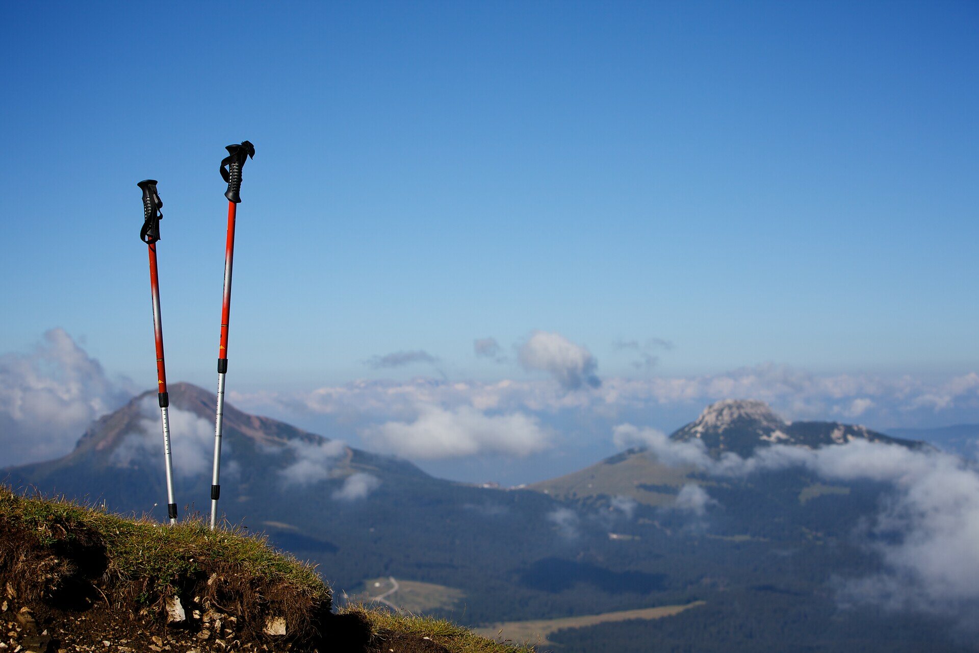
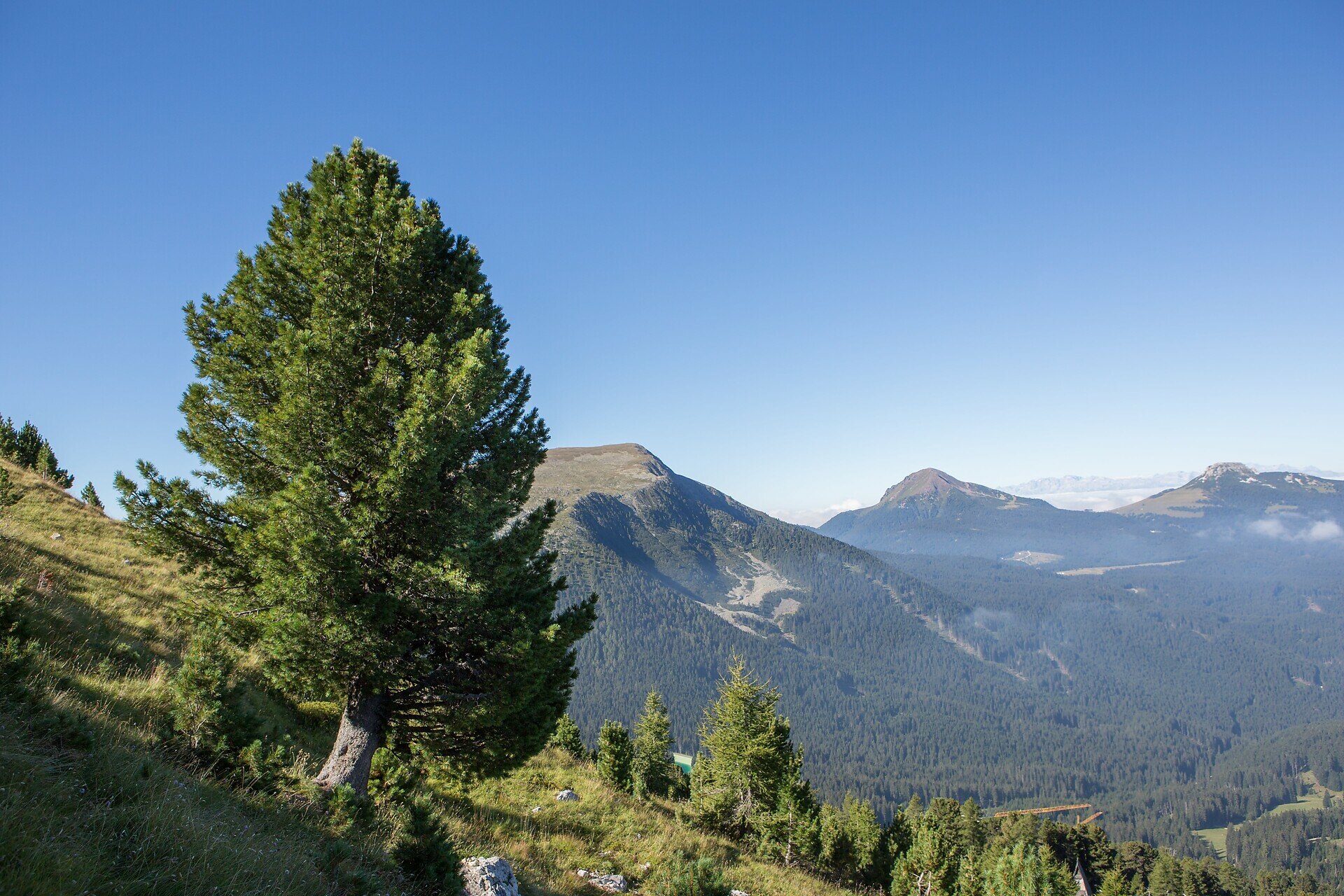
The hike to Zanggen – also known as Pala di Santa – is a true gem for those who love panoramic views, varied landscapes, and an authentic mountain experience. The trail leads through open alpine meadows, light forests, and scenic ridgelines, all the way up to the summit, where a breathtaking 360° view of the Dolomites awaits.
Zanggen not only offers spectacular vistas but also a true sense of elevation – far from daily life, deeply connected to nature. After reaching the top, the circular route continues over a picturesque mountain pass and descends to a welcoming alpine hut, perfect for a well-earned rest. From there, the trail gently leads back to the starting point.
This hike is ideal for experienced hikers seeking an active and rewarding mountain day – full of peace, variety, and unforgettable views.

Route info
Difficult
Distance
11,3 km
Activity time
4 h 25 min
Ascent
763 m
Descent
763 m
Physical effort
Scenary
Highest point
2.492 m
Lowest point
1.793 m
Directions

The hike begins at the Lavazè Pass parking lot (1,802 m). From there, follow trail [574], which leads through open meadows and sparse forests. The trail steadily climbs to the summit of Zanggen (2.458 m), offering panoramic views of the Dolomites and the Eggental valley.
From the summit, descend on the opposite side toward the Reiterjoch (Passo di Pampeago). At the pass, take trail [9], which gently descends to the Daiano mountain hut – an excellent spot for a relaxing break.
From the hut, continue along trail [11] back to the Lavazè Pass parking area, completing the loop.

public transportation

Getting to the starting point of the tour by public transport is easy and convenient

By public bus line:
- 180 or 181 and change to 189 from Bozen | Bolzano
- 180 or 184 and change to 189 from Karersee | Lago di Carezza, Karerpass | Passo Costalunga, Welschnofen | Nova Levante
- 184 and change to 189 from Birchabruck | Ponte Nova, Stenk, Eggen | Ega, Obereggen
- 184 and change to 189 from Weissenstein | Pietralba, Petersberg | Monte San Pietro, Deutschnofen | Nova Ponente
- 182 and change to 189 from Steinegg | Collepietra, Gummer | San Valentino
- 180 and change to 189 from Val di Fassa
Bus stop: Passo Lavazè; online timetable search at: www.suedtirolmobil.info/en/

How to get there

Getting to the starting point of the tour by public transport is easy and convenient

By public bus line:
- 180 or 181 and change to 189 from Bozen | Bolzano
- 180 or 184 and change to 189 from Karersee | Lago di Carezza, Karerpass | Passo Costalunga, Welschnofen | Nova Levante
- 184 and change to 189 from Birchabruck | Ponte Nova, Stenk, Eggen | Ega, Obereggen
- 184 and change to 189 from Weissenstein | Pietralba, Petersberg | Monte San Pietro, Deutschnofen | Nova Ponente
- 182 and change to 189 from Steinegg | Collepietra, Gummer | San Valentino
- 180 and change to 189 from Val di Fassa
Bus stop: Passo Lavazè; online timetable search at: www.suedtirolmobil.info/en/

By car:
Destination: Passo Lavazè
Parking: Parking lot Lavazè
Meeting point: Passo Lavazè: https://goo.gl/maps/oe2Pnprs3RWaX1Xh7

Where to park

Parking: Parking lot Lavazè
Meeting point: Passo Lavazè: https://goo.gl/maps/oe2Pnprs3RWaX1Xh7

You might be interested in
Discover related tours
Karersee, Welschnofen
Circular hike along the Hirzelsteig | Masarè path
Distance 8,1 km
Activity time 2 h 27 min
Ascent 336 m
Descent 339 m
Obereggen, Deutschnofen
Hike to the Latemarhütte Mountain Hut
Distance 8,1 km
Activity time 4 h 00 min
Ascent 719 m
Descent 719 m
Intermediate
Add to favourites
Karersee
Via the sheep path from the Fassa valley to the Paolina hut
Distance 5,8 km
Activity time 2 h 01 min
Ascent 459 m
Descent 316 m
Karersee, Welschnofen
Into the heart of the Rosengarten | Catinaccio massif – Vajolon
Distance 10,7 km
Activity time 3 h 47 min
Ascent 887 m
Descent 868 m
Intermediate
Add to favourites
Karersee, Welschnofen
Circular hike around the Rosengarten | Catinaccio massif
Distance 10,7 km
Activity time 5 h 01 min
Ascent 835 m
Descent 858 m
Karersee, Welschnofen
To the Poppekanzel | Pulpito in the Latemar
Distance 7,0 km
Activity time 2 h 26 min
Ascent 560 m
Descent 566 m
© Carezza Dolomites/Harald Wisthaler
Information & prices
Ski passes
Winter 2024/25

Here you will find all important information on skipasses, daily, multi-day, and seasonal tickets at a glance. All ski passes can be purchased quickly and conveniently online. Buy your skipass directly from home and get a 5% discount!

To the ski passes & tickets