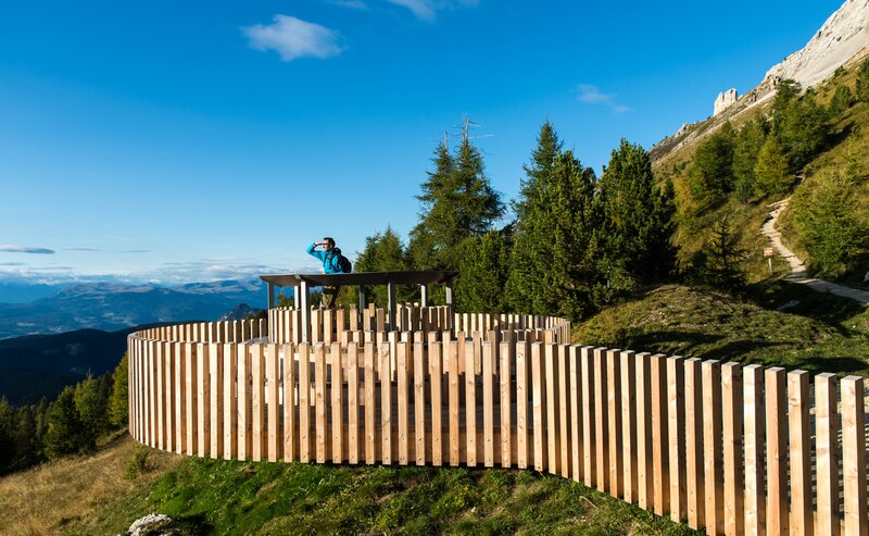
This hike is a wonderful way to experience the pristine natural beauty surrounding the village of Deutschnofen. Starting from the village center, the trail gently ascends through meadows and forests, passing quiet farmsteads and peaceful woodland.
A true highlight is the “Totes Moos” biotope – a protected wetland area home to rare plants and wildlife. It’s a place of silence and serenity, where nature reveals its quiet power.
From there, the trail continues through dense forest paths until it opens up to breathtaking views. At Rotstein and Rotwand, hikers are rewarded with scenic vistas and dramatic color contrasts between red rock formations and lush greenery.
This tour is perfect for nature lovers, families with some hiking experience, and anyone seeking peaceful moments and stunning landscapes far from the crowds.
The hike begins in the village center of Deutschnofen. From there, follow trail [E5, 1] heading south through meadows and quiet roads to reach the Wölflhof.
Continue into the forest on trail [1], which leads to the protected “Totes Moos” biotope, a unique peatland with rare plants and animals.
At the biotope, turn right onto trail [1A]. After a gentle 20-minute climb, you’ll reach Rotstein, and after another kilometer, the scenic viewpoint Rotwand, with panoramic views to the south and west.
Return on the same route: [1A] → [1] → [E5, 1], back to the center of Deutschnofen.
Getting to the starting point of the tour by public transport is easy and convenient.
By public bus line:
- 181 from Bozen | Bolzano,
- 180 or 184 from Karersee | Lago di Carezza, Karerpass | Passo Costalunga, Welschnofen | Nova Levante
- 184 or 181 from Birchabruck | Ponte Nova
- 184 from Stenk, Eggen | Ega, Obereggen
- 184 or 181 from Weissenstein | Pietralba, Petersberg | Monte San Pietro, Deutschnofen | Nova Ponente
- 182 from Steinegg | Collepietra, Gummer | San Valentino
- 180 from Val di Fassa
Bus stop: Deutschnofen | Nova Ponente, Kirche; online timetable search at www.suedtirolmobil.info/en/
By car:
Destination: Deutschnofen | Nova Ponente
Parking: Parking lot Gibitz


